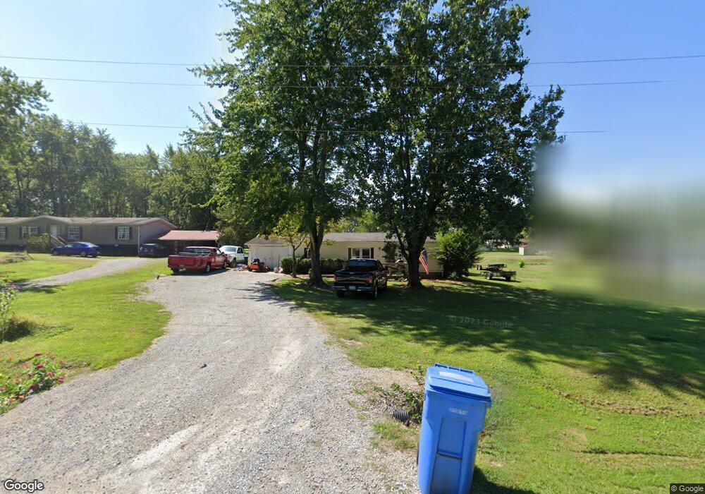
2501 North St Harrisburg, IL 62946
Estimated Value: $66,772 - $91,000
--
Bed
--
Bath
--
Sq Ft
0.48
Acres
About This Home
This home is located at 2501 North St, Harrisburg, IL 62946 and is currently estimated at $78,443. 2501 North St is a home with nearby schools including East Side Intermediate School, Harrisburg Middle School, and Harrisburg High School.
Ownership History
Date
Name
Owned For
Owner Type
Purchase Details
Closed on
Jan 30, 2025
Sold by
West Ridge Corporation Inc and Westridge Corporation Inc
Bought by
Wbc 1 Llc
Current Estimated Value
Purchase Details
Closed on
Dec 10, 2024
Sold by
Paul And Janet Molinarolo Living Trust and Severson Amy
Bought by
Severson Amy
Purchase Details
Closed on
Apr 1, 2024
Sold by
Molinarolo Paul
Bought by
Paul And Janet Molinarolo Living Trust and Severson
Create a Home Valuation Report for This Property
The Home Valuation Report is an in-depth analysis detailing your home's value as well as a comparison with similar homes in the area
Home Values in the Area
Average Home Value in this Area
Purchase History
| Date | Buyer | Sale Price | Title Company |
|---|---|---|---|
| Wbc 1 Llc | -- | None Listed On Document | |
| Wbc 1 Llc | -- | None Listed On Document | |
| Severson Amy | -- | None Listed On Document | |
| Cerutti Joseph | -- | None Listed On Document | |
| Severson Amy | -- | None Listed On Document | |
| Paul And Janet Molinarolo Living Trust | -- | None Listed On Document |
Source: Public Records
Tax History Compared to Growth
Tax History
| Year | Tax Paid | Tax Assessment Tax Assessment Total Assessment is a certain percentage of the fair market value that is determined by local assessors to be the total taxable value of land and additions on the property. | Land | Improvement |
|---|---|---|---|---|
| 2024 | $446 | $4,982 | $3,029 | $1,953 |
| 2023 | $417 | $4,222 | $2,567 | $1,655 |
| 2022 | $411 | $3,980 | $2,420 | $1,560 |
| 2021 | $425 | $4,103 | $2,495 | $1,608 |
| 2020 | $421 | $3,980 | $2,420 | $1,560 |
| 2019 | $429 | $3,980 | $2,420 | $1,560 |
| 2018 | $433 | $3,980 | $2,420 | $1,560 |
| 2017 | $427 | $3,980 | $2,420 | $1,560 |
| 2016 | $4 | $3,980 | $2,420 | $1,560 |
| 2015 | -- | $3,980 | $2,420 | $1,560 |
| 2014 | $1,632 | $3,980 | $2,420 | $1,560 |
| 2013 | $1,632 | $3,980 | $2,420 | $1,560 |
| 2012 | $1,632 | $16,465 | $2,420 | $14,045 |
Source: Public Records
Map
Nearby Homes
- 104 Hickory St
- 205 S Shaw St
- 405 S Shaw St
- 1120 Dorris Heights Rd
- 827 W Raymond St
- 504 W South St
- 204 N Sherman St
- 430 W Church St
- 614 W College St
- 615 Liberty Rd
- 500 W Sloan St
- 1116 S Holland St
- 305 W Church St
- 216 W Poplar St
- 520 S Mckinley St
- 305 W Lincoln St
- 202 W Poplar St
- 618 S Mckinley St
- 210 W Lincoln St
- 1006 S Land St