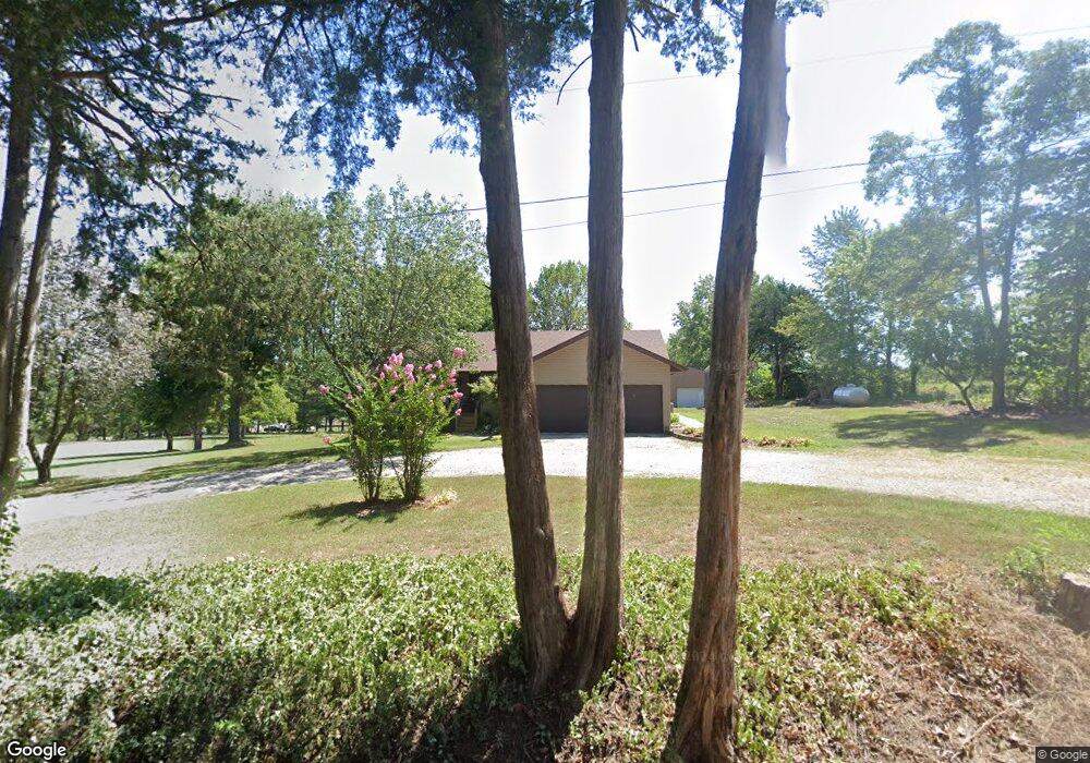
25032 Farm Road 2200 Shell Knob, MO 65747
Estimated Value: $220,000 - $462,000
3
Beds
2
Baths
1,266
Sq Ft
$262/Sq Ft
Est. Value
About This Home
This home is located at 25032 Farm Road 2200, Shell Knob, MO 65747 and is currently estimated at $332,321, approximately $262 per square foot. 25032 Farm Road 2200 is a home with nearby schools including Shell Knob Elementary School.
Ownership History
Date
Name
Owned For
Owner Type
Purchase Details
Closed on
May 11, 2023
Sold by
Lombreglia Donna
Bought by
Mccann Kenneth and Mccann Sherry
Current Estimated Value
Home Financials for this Owner
Home Financials are based on the most recent Mortgage that was taken out on this home.
Original Mortgage
$170,000
Outstanding Balance
$161,550
Interest Rate
3%
Mortgage Type
New Conventional
Estimated Equity
$170,771
Purchase Details
Closed on
Apr 27, 2023
Sold by
Cupps Donald L
Bought by
Cline Michael and Cline Theresa
Home Financials for this Owner
Home Financials are based on the most recent Mortgage that was taken out on this home.
Original Mortgage
$170,000
Outstanding Balance
$161,550
Interest Rate
3%
Mortgage Type
New Conventional
Estimated Equity
$170,771
Create a Home Valuation Report for This Property
The Home Valuation Report is an in-depth analysis detailing your home's value as well as a comparison with similar homes in the area
Home Values in the Area
Average Home Value in this Area
Purchase History
| Date | Buyer | Sale Price | Title Company |
|---|---|---|---|
| Mccann Kenneth | -- | Barry County Abstract & Title | |
| Cline Michael | $170,000 | None Listed On Document |
Source: Public Records
Mortgage History
| Date | Status | Borrower | Loan Amount |
|---|---|---|---|
| Open | Mccann Kenneth | $170,000 |
Source: Public Records
Tax History Compared to Growth
Tax History
| Year | Tax Paid | Tax Assessment Tax Assessment Total Assessment is a certain percentage of the fair market value that is determined by local assessors to be the total taxable value of land and additions on the property. | Land | Improvement |
|---|---|---|---|---|
| 2025 | $1,192 | $26,277 | $5,415 | $20,862 |
| 2024 | $1,192 | $24,548 | $5,415 | $19,133 |
| 2023 | $1,200 | $24,548 | $5,415 | $19,133 |
| 2022 | $1,165 | $23,826 | $4,693 | $19,133 |
| 2021 | $1,135 | $22,382 | $3,249 | $19,133 |
| 2020 | $1,135 | $22,382 | $3,249 | $19,133 |
| 2018 | $1,119 | $22,382 | $3,249 | $19,133 |
| 2017 | $981 | $22,382 | $3,249 | $19,133 |
| 2016 | $925 | $20,539 | $2,527 | $18,012 |
| 2015 | -- | $20,539 | $2,527 | $18,012 |
| 2014 | -- | $19,627 | $2,527 | $17,100 |
| 2012 | -- | $0 | $0 | $0 |
Source: Public Records
Map
Nearby Homes
- 23590 State Highway 39
- 24338 Private Road 2197
- 10 Acres Stallion Bluff Rd
- 000 Stallion Bluff Rd
- 24886 State Highway 39
- 21277 Needles Eye Rd
- 24461 Scenic Valley Dr
- 000 Farm Road 2190
- 25208 Summer Place
- 21557 Farm Road 1230
- 20615 Table Rock Ridge Rd
- 21461 Needles Eye Rd
- 25032 Stallion Bluff Rd
- 26071 Long Shadow Ln
- 000 Winter Mist Ln Unit Lot 22
- 25158 Autumn View Dr
- Lot 11 Mountain View Pkwy
- 6 Lots Needles Eye Rd
- Tbd Needles Eye Rd
- Lot142 143 Needles Eye Rd
- 25071 Farm Road 2200
- 0 Fr 2200
- 24990 Farm Road 2200
- 0 1st Unit 30318050
- 24593 Terrier Ln
- 23837 State Highway 39
- 23837 Missouri 39
- 21905 Farm Road 1240
- 20254 Farm Road 1230
- 20254 Farm Road 1230
- Tbd Farm Road 1240
- #1 Farm Road 1240
- 0 Farm Road 1240
- 0 Fr 1230 Unit 479711
- 0 Fr 1230 Unit 606504
- 0 Fr 1230 Unit 659317
- 0 Fr 1230 Unit 714080
- 0 Rt 1 Unit B1032 10808369
- 0 Pilots Point Unit 10815768
- 0 Pilots Point Unit 10815763