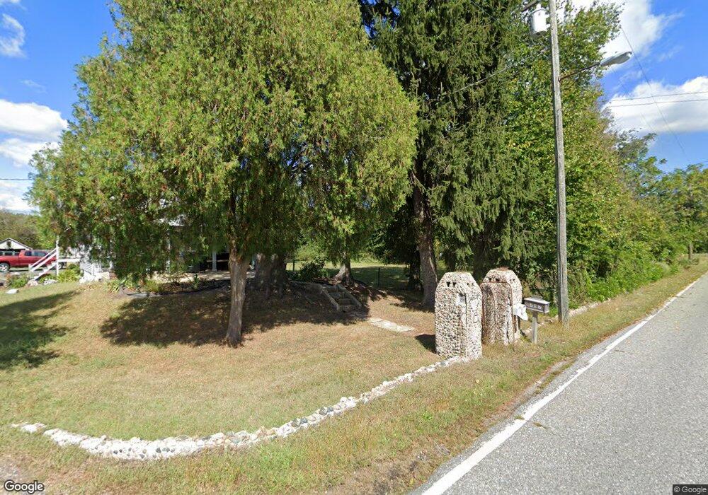
251 Union St Glassboro, NJ 08028
Elk Township NeighborhoodEstimated Value: $381,000 - $672,000
--
Bed
--
Bath
3,085
Sq Ft
$187/Sq Ft
Est. Value
About This Home
This home is located at 251 Union St, Glassboro, NJ 08028 and is currently estimated at $577,232, approximately $187 per square foot. 251 Union St is a home with nearby schools including Aura Elementary School, Delsea Regional Middle School, and Delsea Regional High School.
Ownership History
Date
Name
Owned For
Owner Type
Purchase Details
Closed on
Aug 14, 2019
Sold by
Smith Orchards Limited Partnership
Bought by
Smith Daniel and Smith Danielle
Current Estimated Value
Purchase Details
Closed on
Jun 19, 2019
Sold by
Smith Orchards Limited Partnership
Bought by
Smith Daniel and Smith Danielle
Purchase Details
Closed on
Dec 14, 2016
Sold by
Smith David and Smith Desiree
Bought by
Smith Orchards L P
Purchase Details
Closed on
Oct 26, 2015
Sold by
Loring Inc
Bought by
Smith Orchards Limited Partnership
Purchase Details
Closed on
Dec 17, 2014
Sold by
Smith David and Smith Desiree
Bought by
Loring Inc
Purchase Details
Closed on
Nov 18, 2014
Sold by
Gregory Joseph
Bought by
Smith David and Smith Desiree
Purchase Details
Closed on
Dec 8, 2005
Sold by
Gregory Raymond and Gregory Joseph
Bought by
Gregory Joseph
Purchase Details
Closed on
Oct 22, 2003
Sold by
Gregory Joseph
Bought by
Gregory Raymond and Gregory Joseph
Create a Home Valuation Report for This Property
The Home Valuation Report is an in-depth analysis detailing your home's value as well as a comparison with similar homes in the area
Home Values in the Area
Average Home Value in this Area
Purchase History
| Date | Buyer | Sale Price | Title Company |
|---|---|---|---|
| Smith Daniel | -- | American Title Abstract Corp | |
| Smith Daniel | -- | None Available | |
| Smith Orchards L P | -- | None Available | |
| Smith Orchards Limited Partnership | -- | American Title Abstract Corp | |
| Loring Inc | -- | American Title Abstract Corp | |
| Smith David | $40,000 | American Title Abstract Corp | |
| Gregory Joseph | -- | -- | |
| Gregory Raymond | -- | -- |
Source: Public Records
Tax History Compared to Growth
Tax History
| Year | Tax Paid | Tax Assessment Tax Assessment Total Assessment is a certain percentage of the fair market value that is determined by local assessors to be the total taxable value of land and additions on the property. | Land | Improvement |
|---|---|---|---|---|
| 2025 | $13,183 | $366,700 | $60,100 | $306,600 |
| 2024 | $13,308 | $366,700 | $60,100 | $306,600 |
| 2023 | $13,308 | $366,700 | $60,100 | $306,600 |
| 2022 | $13,469 | $366,700 | $60,100 | $306,600 |
| 2021 | $1,486 | $42,000 | $42,000 | $0 |
| 2020 | $1,546 | $42,000 | $42,000 | $0 |
| 2017 | $3,063 | $65,600 | $65,600 | $0 |
| 2016 | $3,063 | $90,900 | $90,900 | $0 |
| 2015 | $2,975 | $90,900 | $90,900 | $0 |
| 2014 | $2,839 | $90,900 | $90,900 | $0 |
Source: Public Records
Map
Nearby Homes
- 1052 Whig Lane Rd
- 1048 Whig Lane Rd
- 1060 Whig Lane Rd
- 1064 Whig Lane Rd
- 247 Union St
- 1071 Whig Lane Rd
- 239 Union St
- 233 Union St
- 265 Union St
- 1068 Whig Lane Rd
- 1070 Whig Lane Rd
- 1069 Whig Lane Rd
- 1077 Whig Lane Rd
- 268 Union St
- 1074 Whig Lane Rd
- 102 Wolf Ave
- 104 Wolf Ave
- 106 Wolf Ave
- 1075 Whig Lane Rd
- 103 Wolf Ave
