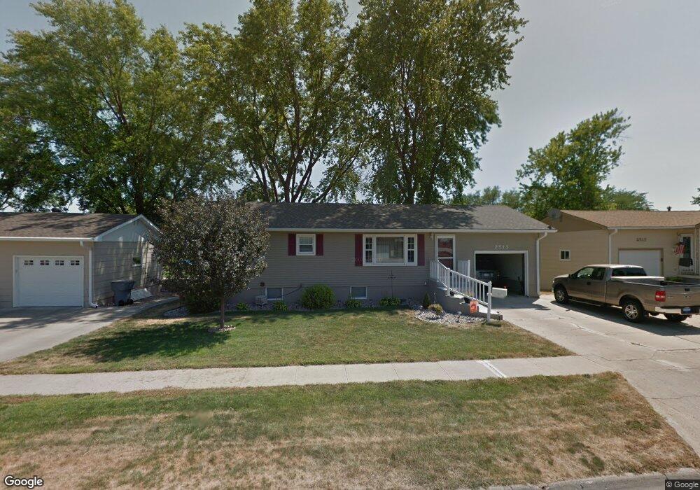
2513 Westside Ave Norfolk, NE 68701
Estimated Value: $236,108 - $261,000
4
Beds
2
Baths
1,040
Sq Ft
$241/Sq Ft
Est. Value
About This Home
This home is located at 2513 Westside Ave, Norfolk, NE 68701 and is currently estimated at $250,777, approximately $241 per square foot. 2513 Westside Ave is a home located in Madison County with nearby schools including Norfolk Senior High School, Norfolk Catholic School, and Sacred Heart Elementary School.
Ownership History
Date
Name
Owned For
Owner Type
Purchase Details
Closed on
Feb 7, 2011
Sold by
Ternus Jason R and Ternus Nicole M
Bought by
Kauth Jay M and Kauth Amanda J
Current Estimated Value
Home Financials for this Owner
Home Financials are based on the most recent Mortgage that was taken out on this home.
Original Mortgage
$127,900
Outstanding Balance
$87,851
Interest Rate
4.86%
Mortgage Type
New Conventional
Estimated Equity
$162,926
Purchase Details
Closed on
Aug 29, 2003
Sold by
Summers Kenneth L and Summers Kim V
Bought by
Ternus Jason R
Create a Home Valuation Report for This Property
The Home Valuation Report is an in-depth analysis detailing your home's value as well as a comparison with similar homes in the area
Home Values in the Area
Average Home Value in this Area
Purchase History
| Date | Buyer | Sale Price | Title Company |
|---|---|---|---|
| Kauth Jay M | $124,000 | None Available | |
| Ternus Jason R | $85,250 | -- |
Source: Public Records
Mortgage History
| Date | Status | Borrower | Loan Amount |
|---|---|---|---|
| Open | Kauth Jay M | $127,900 |
Source: Public Records
Tax History Compared to Growth
Tax History
| Year | Tax Paid | Tax Assessment Tax Assessment Total Assessment is a certain percentage of the fair market value that is determined by local assessors to be the total taxable value of land and additions on the property. | Land | Improvement |
|---|---|---|---|---|
| 2024 | $2,289 | $184,464 | $17,395 | $167,069 |
| 2023 | $3,155 | $170,669 | $17,395 | $153,274 |
| 2022 | $2,859 | $154,247 | $17,395 | $136,852 |
| 2021 | $2,645 | $142,947 | $17,395 | $125,552 |
| 2020 | $2,445 | $132,580 | $17,395 | $115,185 |
| 2019 | $2,351 | $123,069 | $17,395 | $105,674 |
| 2018 | $2,338 | $124,450 | $23,856 | $100,594 |
| 2017 | $2,207 | $117,335 | $23,856 | $93,479 |
| 2016 | $1,981 | $105,142 | $9,775 | $95,367 |
| 2015 | $1,982 | $105,142 | $9,775 | $95,367 |
| 2014 | $1,953 | $100,601 | $9,775 | $90,826 |
| 2013 | $1,897 | $94,659 | $9,775 | $84,884 |
Source: Public Records
Map
Nearby Homes
- 2510 Westside Ave
- 2508 Westside Ave
- 2604 W Cooper Dr**
- 1703 Miles Dr
- 1613 Miles Dr
- 1607 Miles Dr
- 1609 Miles Dr
- 1601 Miles Dr
- 1605 Miles Dr
- 2500 W Cooper Dr **
- 2109 W Prospect Ave
- 2301 Random Rd
- 2102 Sunset Ave
- 507 Valley Rd
- 2005 Koenigstein Ave
- 2005 Sunset Ave
- 105 19th Dr
- 2500 W Pasewalk
- 908 Ferguson Dr
- 1809 W Taylor Ave
- 2515 Westside Ave
- 2601 Westside Ave
- 2512 Westside Ave
- 2514 Westside Ave
- 2603 Westside Ave
- 2507 Westside Ave
- 2600 Westside Ave
- 2505 Westside Ave
- 2602 Westside Ave
- 2506 Westside Ave
- 2515 W Madison Ave
- 2511 W Madison Ave
- 2509 W Madison Ave
- 2607 Westside Ave
- 2606 Westside Ave
- 2504 Westside Ave
- 2609 Westside Ave
- 2601 W Madison Ave
- 2503 Westside Ave
- 2603 W Madison Ave