2514 Brunner Rd Emmaus, PA 18049
Upper Milford Township NeighborhoodEstimated Value: $662,000 - $981,988
3
Beds
2
Baths
3,457
Sq Ft
$224/Sq Ft
Est. Value
About This Home
This home is located at 2514 Brunner Rd, Emmaus, PA 18049 and is currently estimated at $775,497, approximately $224 per square foot. 2514 Brunner Rd is a home located in Lehigh County with nearby schools including Lincoln Elementary School, Lower Macungie Middle School, and Emmaus High School.
Ownership History
Date
Name
Owned For
Owner Type
Purchase Details
Closed on
Oct 5, 2005
Sold by
Baas Lisa and Baas Ralph E
Bought by
Scott Michael K and Scott Kim Ann
Current Estimated Value
Purchase Details
Closed on
Sep 4, 2001
Sold by
Lychak Sweet Judith A and Sweet Albert
Bought by
United Companies Lending Corp
Purchase Details
Closed on
Feb 6, 1996
Sold by
Lychak Judith A and Albert Sweet
Bought by
Sweet Judith A and Sweet Albert
Purchase Details
Closed on
Aug 31, 1995
Bought by
Lychak Judith A and Albert Sweet
Create a Home Valuation Report for This Property
The Home Valuation Report is an in-depth analysis detailing your home's value as well as a comparison with similar homes in the area
Home Values in the Area
Average Home Value in this Area
Purchase History
| Date | Buyer | Sale Price | Title Company |
|---|---|---|---|
| Scott Michael K | $118,320 | None Available | |
| United Companies Lending Corp | $10,000 | -- | |
| Sweet Judith A | -- | -- | |
| Lychak Judith A | $400,000 | -- |
Source: Public Records
Tax History Compared to Growth
Tax History
| Year | Tax Paid | Tax Assessment Tax Assessment Total Assessment is a certain percentage of the fair market value that is determined by local assessors to be the total taxable value of land and additions on the property. | Land | Improvement |
|---|---|---|---|---|
| 2025 | $8,831 | $467,700 | $194,900 | $272,800 |
| 2024 | $8,440 | $467,700 | $194,900 | $272,800 |
| 2023 | $8,269 | $467,700 | $194,900 | $272,800 |
| 2022 | $8,071 | $467,700 | $272,800 | $194,900 |
| 2021 | $7,897 | $467,700 | $194,900 | $272,800 |
| 2020 | $7,821 | $467,700 | $194,900 | $272,800 |
| 2019 | $7,773 | $467,700 | $194,900 | $272,800 |
| 2018 | $7,574 | $467,700 | $194,900 | $272,800 |
| 2017 | $7,440 | $467,700 | $194,900 | $272,800 |
| 2016 | -- | $467,700 | $194,900 | $272,800 |
| 2015 | -- | $467,700 | $194,900 | $272,800 |
| 2014 | -- | $467,700 | $194,900 | $272,800 |
Source: Public Records
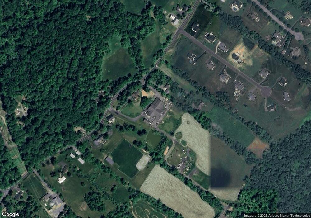
Map
Nearby Homes
- 2571 Brunner Rd
- 5031 Hunter Ln
- 521 Wood St
- 340 Chestnut Hill Rd
- 6173 Rizzuto Way Unit Lot 21
- 6175 Rizzuto Way
- 6175 Rizzuto Way Unit Lot 22
- 97 Chestnut Hill Rd
- 618 Broad St
- 6173 LOT 21 Rizzuto Way
- 659 Broad St
- 569 Chestnut St Unit 571
- 339 Delong Ave Unit 343
- 6408 Dekrane Dr
- 6469 Dekrane Dr Unit 2
- 120 N 2nd St
- 118 N 2nd St
- 543 Long St
- 657 Walnut St
- 4290 Taviston Ct E
- 2535 Brunner Rd
- 2572 Brunner Rd
- 2451 Brunner Rd
- 2432 Brunner Rd
- 2640 Brunner Rd
- 2471 Brunner Rd
- 2396 Brunner Rd
- 5243 Sickle Rd
- 2672 Brunner Rd
- 5211 Sickle Rd
- 2399 Brunner Rd
- 5273 Sickle Rd
- 2380 Brunner Rd
- 2481 Brunner Rd
- 2702 Brunner Rd
- 5202 Sickle Rd
- 4994 Hunter Ln
- 2701 Brunner Rd
- 5311 Sickle Rd
- 5123 Sickle Rd