2521 Max Rd Pearland, TX 77581
Estimated Value: $610,000 - $1,066,000
--
Bed
1
Bath
4,094
Sq Ft
$218/Sq Ft
Est. Value
About This Home
This home is located at 2521 Max Rd, Pearland, TX 77581 and is currently estimated at $894,392, approximately $218 per square foot. 2521 Max Rd is a home located in Brazoria County with nearby schools including E A Lawhon Elementary School, Pearland Junior High School West, and Leon H. Sablatura Middle School.
Ownership History
Date
Name
Owned For
Owner Type
Purchase Details
Closed on
Sep 6, 2012
Sold by
Young Loye W and Young Mary S
Bought by
Young Loye W and Young Mary S
Current Estimated Value
Purchase Details
Closed on
Jul 27, 2009
Sold by
Young Loye W and Young Mary S
Bought by
Young Loye W and Young Mary S
Purchase Details
Closed on
Oct 19, 2001
Sold by
Young Loye W
Bought by
Young Mary S
Create a Home Valuation Report for This Property
The Home Valuation Report is an in-depth analysis detailing your home's value as well as a comparison with similar homes in the area
Home Values in the Area
Average Home Value in this Area
Purchase History
| Date | Buyer | Sale Price | Title Company |
|---|---|---|---|
| Young Loye W | -- | None Available | |
| Young Loye W | -- | None Available | |
| Young Mary S | -- | Alamo Title Company |
Source: Public Records
Tax History Compared to Growth
Tax History
| Year | Tax Paid | Tax Assessment Tax Assessment Total Assessment is a certain percentage of the fair market value that is determined by local assessors to be the total taxable value of land and additions on the property. | Land | Improvement |
|---|---|---|---|---|
| 2025 | $20,681 | $880,470 | $278,680 | $601,790 |
| 2023 | $20,681 | $952,830 | $325,120 | $627,710 |
| 2022 | $12,661 | $526,330 | $188,000 | $427,600 |
| 2021 | $12,328 | $519,150 | $167,850 | $351,300 |
| 2020 | $11,736 | $475,740 | $147,710 | $328,030 |
| 2019 | $10,672 | $395,440 | $134,280 | $261,160 |
| 2018 | $10,773 | $449,640 | $172,510 | $277,130 |
| 2017 | $9,842 | $465,830 | $188,700 | $277,130 |
| 2016 | $8,947 | $468,520 | $188,700 | $279,820 |
| 2015 | $5,082 | $361,910 | $145,150 | $216,760 |
| 2014 | $5,082 | $301,520 | $145,150 | $156,370 |
Source: Public Records
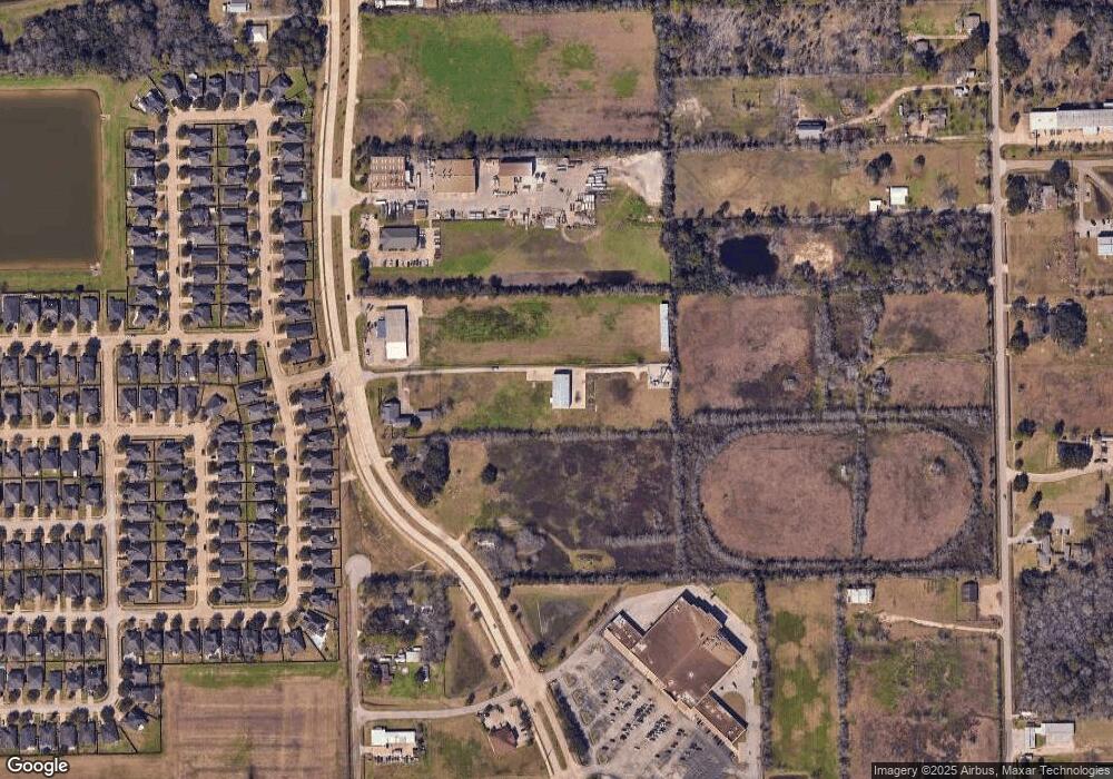
Map
Nearby Homes
- 2453 Roy Rd Unit 105
- 1 Farm To Market 1128
- 2802 Afton Dr
- 6816 Broadway St
- 2811 Afton Dr
- 7610 River Pass Dr
- 2236 Garden Rd Cr 109
- 2350 Hawk Meadows
- 0 W Broadway St
- 9.6 AC Fite Rd
- 7333 Fite Rd
- 2008 Granite Pass Dr
- 1938 Garden Rd Unit 169
- 1905 Woodglen Ct
- 2526 Oak Rd
- 2534 Oak Rd
- 4823 Meadowglen Dr
- 6806 Adella Ct
- 4811 Meadowglen Dr
- 3506 Windmill Palm Dr
- 2525 Reid Blvd
- 2537 Max Rd
- 2509 Quiet Arbor Ln
- 2507 Quiet Arbor Ln
- 2505 Quiet Arbor Ln
- 2511 Quiet Arbor Ln
- 2513 Quiet Arbor Ln
- 2515 Quiet Arbor Ln
- 2517 Quiet Arbor Ln
- 2427 Quiet Arbor Ln
- 2617 Max Rd
- 2617 Old Max Ct
- 2425 Quiet Arbor Ln
- 2519 Quiet Arbor Ln
- 2429 Quiet Arbor Ln
- 2603 Quiet Arbor Ln
- 2506 Quiet Arbor Ln
- 2508 Quiet Arbor Ln
- 2510 Quiet Arbor Ln
- 2512 Quiet Arbor Ln