254 Monmouth Ave Thorofare, NJ 08086
West Deptford Township NeighborhoodEstimated Value: $329,000 - $447,000
--
Bed
--
Bath
1,960
Sq Ft
$202/Sq Ft
Est. Value
About This Home
This home is located at 254 Monmouth Ave, Thorofare, NJ 08086 and is currently estimated at $395,922, approximately $202 per square foot. 254 Monmouth Ave is a home located in Gloucester County with nearby schools including Red Bank Elementary School, Oakview Elementary School, and Green-Fields Elementary School.
Ownership History
Date
Name
Owned For
Owner Type
Purchase Details
Closed on
Aug 31, 2000
Sold by
Fontaine Mark P and Fontaine Geralyn D
Bought by
Power Jerome A
Current Estimated Value
Home Financials for this Owner
Home Financials are based on the most recent Mortgage that was taken out on this home.
Original Mortgage
$125,869
Outstanding Balance
$46,070
Interest Rate
8.16%
Mortgage Type
FHA
Estimated Equity
$349,852
Create a Home Valuation Report for This Property
The Home Valuation Report is an in-depth analysis detailing your home's value as well as a comparison with similar homes in the area
Home Values in the Area
Average Home Value in this Area
Purchase History
| Date | Buyer | Sale Price | Title Company |
|---|---|---|---|
| Power Jerome A | $126,000 | Congress Title Corp |
Source: Public Records
Mortgage History
| Date | Status | Borrower | Loan Amount |
|---|---|---|---|
| Open | Power Jerome A | $125,869 |
Source: Public Records
Tax History Compared to Growth
Tax History
| Year | Tax Paid | Tax Assessment Tax Assessment Total Assessment is a certain percentage of the fair market value that is determined by local assessors to be the total taxable value of land and additions on the property. | Land | Improvement |
|---|---|---|---|---|
| 2025 | $7,441 | $213,100 | $54,400 | $158,700 |
| 2024 | $7,346 | $213,100 | $54,400 | $158,700 |
| 2023 | $7,346 | $213,100 | $54,400 | $158,700 |
| 2022 | $7,311 | $213,100 | $54,400 | $158,700 |
| 2021 | $7,286 | $213,100 | $54,400 | $158,700 |
| 2020 | $7,269 | $213,100 | $54,400 | $158,700 |
| 2019 | $7,066 | $213,100 | $54,400 | $158,700 |
| 2018 | $6,875 | $213,100 | $54,400 | $158,700 |
| 2017 | $6,715 | $213,100 | $54,400 | $158,700 |
| 2016 | $6,527 | $213,100 | $54,400 | $158,700 |
| 2015 | $6,218 | $213,100 | $54,400 | $158,700 |
| 2014 | $5,909 | $213,100 | $54,400 | $158,700 |
Source: Public Records
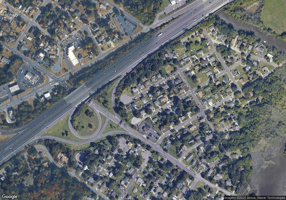
Map
Nearby Homes
- 266 Passaic Ave
- 107 Audubon Ave
- 121 Cape May Ave
- 10 Kennedy Ct
- 400 Audubon Ave
- 439 Crown Point Rd
- 64 Tilden Rd
- 67 Pelican Place
- 433 Crown Point Rd
- 112 N Drexel St
- 1810 Fernwood Dr
- 136 Sandpiper Ln
- 1311 Barnesdale Rd
- 558 Prince St
- 4 Saint Emilion Ct
- 21 S Columbia St
- 6 Phoebe Terrace
- 344 S Girard St
- 97 Church St
- 340 High St
- 256 Monmouth Ave
- 252 Monmouth Ave
- 255 Middlesex Ave
- 251 Middlesex Ave
- 257 Middlesex Ave
- 253 Monmouth Ave
- 255 Monmouth Ave
- 260 Monmouth Ave
- 259 Monmouth Ave
- 250 Monmouth Ave
- 261 Middlesex Ave
- 263 Monmouth Ave
- 252 Middlesex Ave
- 266 Monmouth Ave
- 258 Middlesex Ave
- 265 Middlesex Ave
- 267 Monmouth Ave
- 262 Middlesex Ave
- 272 Monmouth Ave
- 273 Monmouth Ave