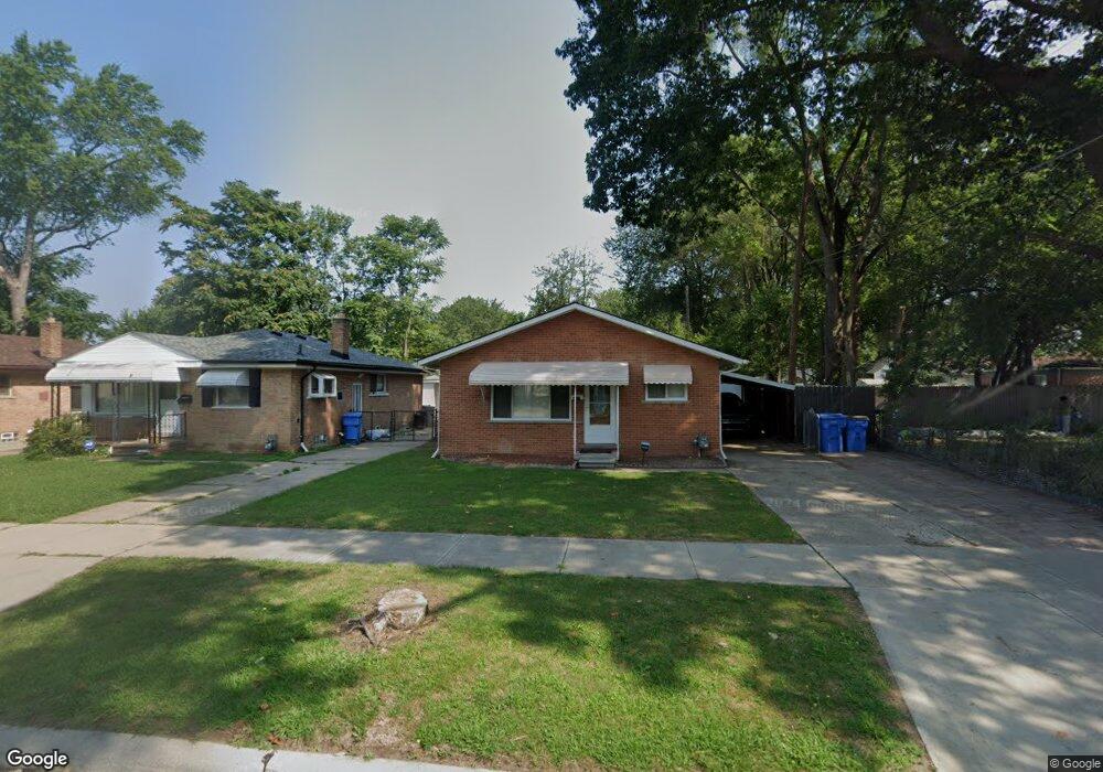
25432 Powers Ave Dearborn Heights, MI 48125
Estimated Value: $141,000 - $165,401
3
Beds
2
Baths
1,000
Sq Ft
$156/Sq Ft
Est. Value
About This Home
This home is located at 25432 Powers Ave, Dearborn Heights, MI 48125 and is currently estimated at $155,850, approximately $155 per square foot. 25432 Powers Ave is a home located in Wayne County with nearby schools including Quest Charter Academy, West Village Academy, and Peterson-Warren Academy.
Ownership History
Date
Name
Owned For
Owner Type
Purchase Details
Closed on
Dec 18, 2024
Sold by
Raad Amin
Bought by
Dearborn Heights Prime Ventures Llc
Current Estimated Value
Purchase Details
Closed on
Dec 19, 2011
Sold by
Iraheta Julia
Bought by
Amin Raad A
Purchase Details
Closed on
Dec 26, 2006
Sold by
Iraheta Julia and Melendez Alma
Bought by
Iraheta Julia
Create a Home Valuation Report for This Property
The Home Valuation Report is an in-depth analysis detailing your home's value as well as a comparison with similar homes in the area
Home Values in the Area
Average Home Value in this Area
Purchase History
| Date | Buyer | Sale Price | Title Company |
|---|---|---|---|
| Dearborn Heights Prime Ventures Llc | -- | None Listed On Document | |
| Dearborn Heights Prime Ventures Llc | -- | None Listed On Document | |
| Dearborn Heights Prime Ventures Llc | -- | None Listed On Document | |
| Amin Raad A | $33,000 | Capital Title Ins Agency | |
| Iraheta Julia | -- | None Available |
Source: Public Records
Tax History Compared to Growth
Tax History
| Year | Tax Paid | Tax Assessment Tax Assessment Total Assessment is a certain percentage of the fair market value that is determined by local assessors to be the total taxable value of land and additions on the property. | Land | Improvement |
|---|---|---|---|---|
| 2025 | $1,629 | $75,400 | $0 | $0 |
| 2024 | $1,629 | $62,700 | $0 | $0 |
| 2023 | $1,480 | $53,900 | $0 | $0 |
| 2022 | $2,177 | $45,500 | $0 | $0 |
| 2021 | $2,160 | $40,200 | $0 | $0 |
| 2019 | $2,124 | $32,000 | $0 | $0 |
| 2018 | $1,284 | $31,400 | $0 | $0 |
| 2017 | $1,324 | $30,200 | $0 | $0 |
| 2016 | $1,902 | $30,600 | $0 | $0 |
| 2015 | $2,850 | $28,500 | $0 | $0 |
| 2013 | $3,130 | $32,400 | $0 | $0 |
| 2010 | -- | $35,500 | $0 | $0 |
Source: Public Records
Map
Nearby Homes
- 5118 Michael St
- 25628 Powers Ave
- 25474 McDonald St
- 4856 Carolee Ln
- 25926 Powers Ave
- 5842 Janet St
- 25965 Currier St
- 25895 Annapolis St
- 25243 Lehigh St
- 5845 Beech Daly Rd
- 5904 Janet St
- 25212 Lehigh St
- 24754 Annapolis St
- 26106 Powers Ave
- 25118 Lehigh St
- 5963 Vivian St
- 5961 Beech Daly Rd
- 24727 Hopkins St
- 6020 Vivian St
- 24443 Powers Ave
- 25444 Powers Ave
- 25458 Powers Ave
- 5150 S Gulley Rd
- 5140 S Gulley Rd
- 25468 Powers Ave
- 5130 S Gulley Rd
- 25439 Pennie St
- 25459 Pennie St
- 25433 Powers Ave
- 25445 Powers Ave
- 25407 Powers Ave
- 25459 Powers Ave
- 5110 S Gulley Rd
- 25469 Pennie St
- 25469 Powers Ave
- 25510 Powers Ave
- 25481 Powers Ave
- 5155 S Gulley Rd
- 5145 S Gulley Rd
- 5167 S Gulley Rd