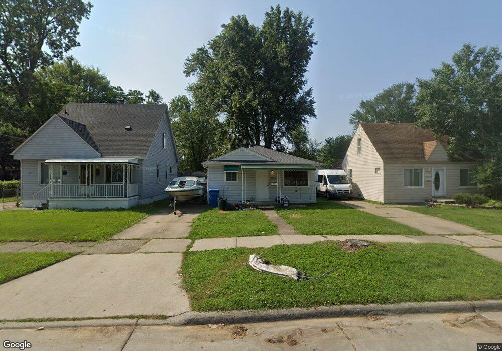
25445 Powers Ave Dearborn Heights, MI 48125
Estimated Value: $142,206 - $152,000
3
Beds
1
Bath
936
Sq Ft
$156/Sq Ft
Est. Value
About This Home
This home is located at 25445 Powers Ave, Dearborn Heights, MI 48125 and is currently estimated at $146,302, approximately $156 per square foot. 25445 Powers Ave is a home located in Wayne County with nearby schools including Quest Charter Academy, West Village Academy, and Peterson-Warren Academy.
Ownership History
Date
Name
Owned For
Owner Type
Purchase Details
Closed on
Jan 8, 2022
Sold by
Layne Margaret E
Bought by
Layne Margaret Elizabeth
Current Estimated Value
Purchase Details
Closed on
Sep 29, 2003
Sold by
Layne Margaret E
Bought by
Layne Margaret E
Home Financials for this Owner
Home Financials are based on the most recent Mortgage that was taken out on this home.
Original Mortgage
$63,500
Interest Rate
7%
Mortgage Type
Purchase Money Mortgage
Create a Home Valuation Report for This Property
The Home Valuation Report is an in-depth analysis detailing your home's value as well as a comparison with similar homes in the area
Home Values in the Area
Average Home Value in this Area
Purchase History
| Date | Buyer | Sale Price | Title Company |
|---|---|---|---|
| Layne Margaret Elizabeth | -- | Michigan Title Insurance Agenc | |
| Layne Margaret E | -- | Multiple |
Source: Public Records
Mortgage History
| Date | Status | Borrower | Loan Amount |
|---|---|---|---|
| Previous Owner | Layne Margaret E | $63,500 |
Source: Public Records
Tax History Compared to Growth
Tax History
| Year | Tax Paid | Tax Assessment Tax Assessment Total Assessment is a certain percentage of the fair market value that is determined by local assessors to be the total taxable value of land and additions on the property. | Land | Improvement |
|---|---|---|---|---|
| 2025 | $894 | $56,400 | $0 | $0 |
| 2024 | $894 | $46,300 | $0 | $0 |
| 2023 | $803 | $39,700 | $0 | $0 |
| 2022 | $1,090 | $33,500 | $0 | $0 |
| 2021 | $1,091 | $29,600 | $0 | $0 |
| 2019 | $2,069 | $23,000 | $0 | $0 |
| 2018 | $695 | $21,200 | $0 | $0 |
| 2017 | $549 | $20,700 | $0 | $0 |
| 2016 | $947 | $21,000 | $0 | $0 |
| 2015 | $1,950 | $19,500 | $0 | $0 |
| 2013 | $2,100 | $21,900 | $0 | $0 |
| 2010 | -- | $26,200 | $0 | $0 |
Source: Public Records
Map
Nearby Homes
- 25628 Powers Ave
- 5118 Michael St
- 25474 McDonald St
- 5842 Janet St
- 25926 Powers Ave
- 25965 Currier St
- 5845 Beech Daly Rd
- 4856 Carolee Ln
- 5904 Janet St
- 25895 Annapolis St
- 5961 Beech Daly Rd
- 5963 Vivian St
- 26106 Powers Ave
- 6020 Vivian St
- 25243 Lehigh St
- 5961 Marvin St
- 24754 Annapolis St
- 25212 Lehigh St
- 25118 Lehigh St
- 24727 Hopkins St
- 25433 Powers Ave
- 25459 Powers Ave
- 25469 Powers Ave
- 25481 Powers Ave
- 25420 Currier St
- 25407 Powers Ave
- 25444 Currier St
- 25493 Powers Ave
- 25436 Currier St
- 5338 S Gulley Rd
- 25444 Powers Ave
- 25458 Powers Ave
- 25432 Powers Ave
- 25468 Powers Ave
- 25552 Currier St Unit Bldg-Unit
- 25552 Currier St
- 25552 Currier St
- 5354 S Gulley Rd
- 25515 Powers Ave
- 5150 S Gulley Rd