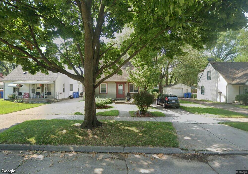
25493 Powers Ave Dearborn Heights, MI 48125
Estimated Value: $118,428 - $152,000
3
Beds
1
Bath
830
Sq Ft
$162/Sq Ft
Est. Value
About This Home
This home is located at 25493 Powers Ave, Dearborn Heights, MI 48125 and is currently estimated at $134,857, approximately $162 per square foot. 25493 Powers Ave is a home located in Wayne County with nearby schools including Quest Charter Academy, West Village Academy, and Peterson-Warren Academy.
Ownership History
Date
Name
Owned For
Owner Type
Purchase Details
Closed on
Jul 20, 2022
Sold by
Julie Richert
Bought by
Return On Investments Llc
Current Estimated Value
Purchase Details
Closed on
Jun 7, 2005
Sold by
Mortgage Electronic Registration Systems
Bought by
Jp Morgan Chase Bank
Purchase Details
Closed on
May 26, 2004
Sold by
Guvsinsky Michael
Bought by
Mortgage Electronic Registration Systems
Purchase Details
Closed on
May 8, 2003
Sold by
Pierson William H and Pierson Janet V
Bought by
Guysinsky Michael
Create a Home Valuation Report for This Property
The Home Valuation Report is an in-depth analysis detailing your home's value as well as a comparison with similar homes in the area
Home Values in the Area
Average Home Value in this Area
Purchase History
| Date | Buyer | Sale Price | Title Company |
|---|---|---|---|
| Return On Investments Llc | $62,500 | None Listed On Document | |
| Return On Investments Llc | $62,500 | None Listed On Document | |
| Jp Morgan Chase Bank | -- | First American Title Ins Co | |
| Mortgage Electronic Registration Systems | $110,604 | -- | |
| Guysinsky Michael | $123,000 | Commonwealth Land Title |
Source: Public Records
Tax History Compared to Growth
Tax History
| Year | Tax Paid | Tax Assessment Tax Assessment Total Assessment is a certain percentage of the fair market value that is determined by local assessors to be the total taxable value of land and additions on the property. | Land | Improvement |
|---|---|---|---|---|
| 2025 | $1,531 | $55,900 | $0 | $0 |
| 2024 | $1,531 | $46,000 | $0 | $0 |
| 2023 | $1,375 | $39,600 | $0 | $0 |
| 2022 | $1,369 | $33,500 | $0 | $0 |
| 2021 | $3,045 | $29,700 | $0 | $0 |
| 2019 | $1,453 | $23,200 | $0 | $0 |
| 2018 | $932 | $22,400 | $0 | $0 |
| 2017 | $963 | $21,900 | $0 | $0 |
| 2016 | $1,382 | $22,200 | $0 | $0 |
| 2015 | $2,070 | $20,700 | $0 | $0 |
| 2013 | $2,240 | $23,400 | $0 | $0 |
| 2010 | -- | $27,300 | $0 | $0 |
Source: Public Records
Map
Nearby Homes
- 25628 Powers Ave
- 5118 Michael St
- 25474 McDonald St
- 25926 Powers Ave
- 5842 Janet St
- 25965 Currier St
- 4856 Carolee Ln
- 5845 Beech Daly Rd
- 5904 Janet St
- 25895 Annapolis St
- 26106 Powers Ave
- 5961 Beech Daly Rd
- 25243 Lehigh St
- 5963 Vivian St
- 6020 Vivian St
- 25212 Lehigh St
- 24754 Annapolis St
- 25118 Lehigh St
- 5961 Marvin St
- 24727 Hopkins St
- 25481 Powers Ave
- 25469 Powers Ave
- 25515 Powers Ave
- 25525 Powers Ave
- 25459 Powers Ave
- 25444 Currier St
- 25445 Powers Ave
- 25535 Powers Ave
- 25564 Currier St
- 25552 Currier St Unit Bldg-Unit
- 25552 Currier St
- 25552 Currier St
- 25570 Currier St
- 25510 Powers Ave
- 25433 Powers Ave
- 25518 Powers Ave
- 25468 Powers Ave
- 25547 Powers Ave
- 25436 Currier St
- 25574 Currier St