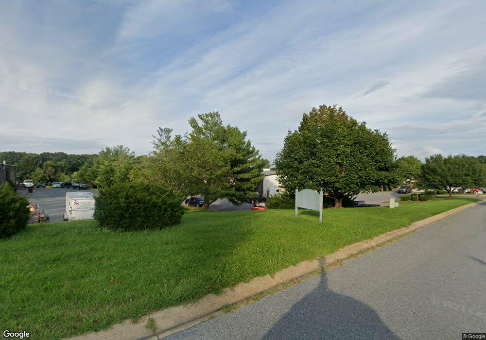
255 Adam Smith St Sykesville, MD 21784
Estimated Value: $1,949,943
--
Bed
--
Bath
7,940
Sq Ft
$246/Sq Ft
Est. Value
About This Home
This home is located at 255 Adam Smith St, Sykesville, MD 21784 and is currently estimated at $1,949,943, approximately $245 per square foot. 255 Adam Smith St is a home located in Carroll County with nearby schools including Linton Springs Elementary School, Sykesville Middle School, and Century High School.
Ownership History
Date
Name
Owned For
Owner Type
Purchase Details
Closed on
Jun 29, 2021
Sold by
South Carroll Terminals Inc
Bought by
Lci Land Llc
Current Estimated Value
Home Financials for this Owner
Home Financials are based on the most recent Mortgage that was taken out on this home.
Original Mortgage
$1,600,000
Interest Rate
5.25%
Mortgage Type
New Conventional
Purchase Details
Closed on
Mar 9, 1989
Sold by
Sewell Donald R
Bought by
Shipley Herbert R Inc
Create a Home Valuation Report for This Property
The Home Valuation Report is an in-depth analysis detailing your home's value as well as a comparison with similar homes in the area
Home Values in the Area
Average Home Value in this Area
Purchase History
| Date | Buyer | Sale Price | Title Company |
|---|---|---|---|
| Lci Land Llc | $1,700,000 | None Listed On Document | |
| Shipley Herbert R Inc | $165,000 | -- |
Source: Public Records
Mortgage History
| Date | Status | Borrower | Loan Amount |
|---|---|---|---|
| Previous Owner | Lci Land Llc | $1,600,000 |
Source: Public Records
Tax History Compared to Growth
Tax History
| Year | Tax Paid | Tax Assessment Tax Assessment Total Assessment is a certain percentage of the fair market value that is determined by local assessors to be the total taxable value of land and additions on the property. | Land | Improvement |
|---|---|---|---|---|
| 2025 | $20,020 | $1,715,600 | $718,000 | $997,600 |
| 2024 | $20,020 | $1,777,100 | $498,700 | $1,278,400 |
| 2023 | $19,440 | $1,730,667 | $0 | $0 |
| 2022 | $18,920 | $1,684,233 | $0 | $0 |
| 2021 | $37,254 | $1,637,800 | $498,700 | $1,139,100 |
| 2020 | $18,266 | $1,625,833 | $0 | $0 |
| 2019 | $16,429 | $1,613,867 | $0 | $0 |
| 2018 | $17,998 | $1,601,900 | $498,700 | $1,103,200 |
| 2017 | $17,261 | $1,568,967 | $0 | $0 |
| 2016 | -- | $1,536,033 | $0 | $0 |
| 2015 | -- | $1,503,100 | $0 | $0 |
| 2014 | -- | $1,503,100 | $0 | $0 |
Source: Public Records
Map
Nearby Homes
- 42 Liberty Rd Unit D
- 5530 Jim Pickett Rd
- 224 Old Liberty Rd
- 610 Okemo Dr
- 601 Sherry Dr
- 5615 Bartholow Rd
- 618 Lynn Way
- 707 Old Liberty Rd
- 4114 Old Washington Rd
- HS1 Kenard Dr
- 608 Angus Dr
- 1103 Cape Ct
- 5712 Hodges Rd
- 5725 Hodges Rd
- 970 Oak Tree Rd
- 0 Bear Branch Rd
- 0 Johnsville Rd Unit MDCR2020412
- 1051 Berkley Dr
- 6751 White Rock Rd
- The Bristol Plan at Timber Glen
- 257 Adam Smith St
- 248 Adam Smith St
- 260 Adam Smith St
- 222 Adam Smith St
- 5220 Klees Mill Lot 3a
- 5220 Klee Mill Rd S
- 5220 Klee Mill Rd S
- 5220 Klee Mill Rd S
- 219 Adam Smith St
- 211 Adam Smith St
- 105 Competitive Goals Dr
- 209 Adam Smith St
- 5320 Enterprise Unit G St
- 5320 Enterprise St
- 5320 Enterprise St Unit B
- 5320 Enterprise St Unit H AND I
- 5320 Enterprise St Unit I
- 5320 Enterprise St Unit H
- 5320 Enterprise St Unit L
- 5320 Enterprise St Unit A