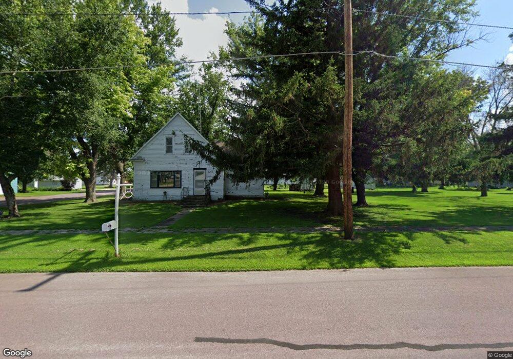
255 Armstrong Ave Butterfield, MN 56120
Estimated Value: $80,315 - $160,000
3
Beds
1
Bath
672
Sq Ft
$163/Sq Ft
Est. Value
About This Home
This home is located at 255 Armstrong Ave, Butterfield, MN 56120 and is currently estimated at $109,772, approximately $163 per square foot. 255 Armstrong Ave is a home located in Watonwan County with nearby schools including Butterfield Elementary School.
Ownership History
Date
Name
Owned For
Owner Type
Purchase Details
Closed on
Jan 9, 2017
Sold by
Linscheid Joy Joy
Bought by
Fisch Matthew
Current Estimated Value
Create a Home Valuation Report for This Property
The Home Valuation Report is an in-depth analysis detailing your home's value as well as a comparison with similar homes in the area
Home Values in the Area
Average Home Value in this Area
Purchase History
| Date | Buyer | Sale Price | Title Company |
|---|---|---|---|
| Fisch Matthew | $17,000 | -- |
Source: Public Records
Tax History Compared to Growth
Tax History
| Year | Tax Paid | Tax Assessment Tax Assessment Total Assessment is a certain percentage of the fair market value that is determined by local assessors to be the total taxable value of land and additions on the property. | Land | Improvement |
|---|---|---|---|---|
| 2025 | $716 | $58,400 | $15,500 | $42,900 |
| 2024 | $630 | $50,600 | $9,700 | $40,900 |
| 2023 | $488 | $46,200 | $9,700 | $36,500 |
| 2022 | $398 | $32,200 | $4,800 | $27,400 |
| 2021 | $362 | $24,100 | $4,800 | $19,300 |
| 2020 | $352 | $22,300 | $4,800 | $17,500 |
| 2019 | $366 | $19,400 | $4,800 | $14,600 |
| 2018 | $340 | $19,400 | $4,800 | $14,600 |
| 2016 | $302 | $16,400 | $4,800 | $11,600 |
| 2014 | -- | $29,300 | $4,800 | $24,500 |
Source: Public Records
Map
Nearby Homes
- 0 Tbd S Third St Unit TBD Third St S
- 325 3rd St N
- 525 Elwell Ave
- 69193 380th St
- 204 N 2nd St
- 1319 3rd Ave
- 605 13th St N
- 0 Parcel Id# 05 510 0010 Unit 7037951
- 106 12th St N
- 105 S 2nd St
- 0 Parcel Id# 05 510 0020 Unit 7037952
- 35726 710th Ave
- 1102 Boxelder St
- 620 11th St N
- 1021 Mountain Lake Rd
- 0 Parcel Id Unit 5.510.0040 7037953
- 0 Parcel Id Unit 5.510.0050 7037954
- 0 Parcel Id Unit 5.510.0060 7037955
- 516 11th St N
- 1024 Prince St
- 929 3rd St S
- 305 3rd St S
- 250 Maple Ave
- 355 3rd St S
- 315 Armstrong Ave
- 345 2nd St S
- 325 Armstrong Ave
- 325 325 Armstrong Ave
- 320 Maple Ave
- 305 2nd St S
- 250 Armstrong Ave
- 200 Maple Ave
- 300 Armstrong Ave
- 400 3rd St S
- 335 Armstrong Ave
- 200 Armstrong Ave
- 330 Maple Ave
- 210 3rd St S
- 320 Armstrong Ave
- 66067 400th St