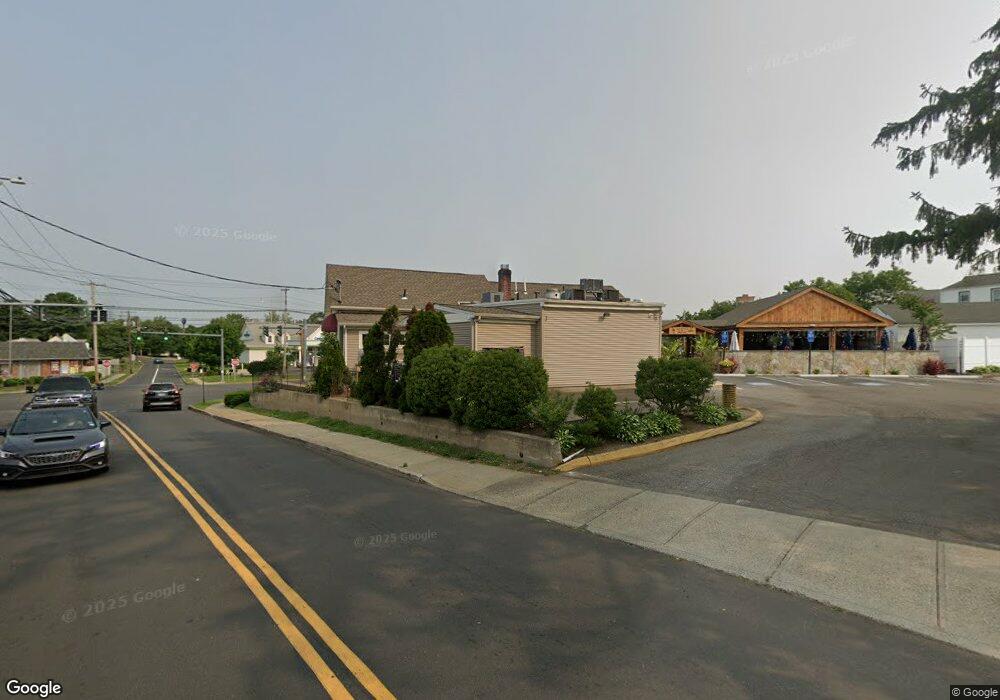
255 Boston Post Rd Milford, CT 06460
Downtown Milford NeighborhoodEstimated Value: $3,028,612
--
Bed
--
Bath
--
Sq Ft
0.87
Acres
About This Home
This home is located at 255 Boston Post Rd, Milford, CT 06460 and is currently estimated at $3,028,612. 255 Boston Post Rd is a home located in New Haven County with nearby schools including Mathewson School, Harborside Middle School, and Jonathan Law High School.
Ownership History
Date
Name
Owned For
Owner Type
Purchase Details
Closed on
Feb 16, 2007
Sold by
Sun Lite Realty Lp
Bought by
Anela Inc
Current Estimated Value
Home Financials for this Owner
Home Financials are based on the most recent Mortgage that was taken out on this home.
Original Mortgage
$1,400,000
Outstanding Balance
$572,602
Interest Rate
6.24%
Mortgage Type
Commercial
Estimated Equity
$2,456,010
Purchase Details
Closed on
Jul 31, 1992
Sold by
Peck Arnold
Bought by
Mavuli Tonino
Home Financials for this Owner
Home Financials are based on the most recent Mortgage that was taken out on this home.
Original Mortgage
$360,000
Interest Rate
7%
Mortgage Type
Commercial
Create a Home Valuation Report for This Property
The Home Valuation Report is an in-depth analysis detailing your home's value as well as a comparison with similar homes in the area
Home Values in the Area
Average Home Value in this Area
Purchase History
| Date | Buyer | Sale Price | Title Company |
|---|---|---|---|
| Anela Inc | $1,950,000 | -- | |
| Anela Inc | $1,950,000 | -- | |
| Mavuli Tonino | $240,000 | -- | |
| Mavuli Tonino | $240,000 | -- |
Source: Public Records
Mortgage History
| Date | Status | Borrower | Loan Amount |
|---|---|---|---|
| Open | Mavuli Tonino | $1,400,000 | |
| Closed | Mavuli Tonino | $1,400,000 | |
| Previous Owner | Mavuli Tonino | $100,000 | |
| Previous Owner | Mavuli Tonino | $360,000 |
Source: Public Records
Tax History Compared to Growth
Tax History
| Year | Tax Paid | Tax Assessment Tax Assessment Total Assessment is a certain percentage of the fair market value that is determined by local assessors to be the total taxable value of land and additions on the property. | Land | Improvement |
|---|---|---|---|---|
| 2025 | $34,905 | $1,181,220 | $633,440 | $547,780 |
| 2024 | $34,421 | $1,181,220 | $633,440 | $547,780 |
| 2023 | $29,659 | $1,091,610 | $633,440 | $458,170 |
| 2022 | $29,091 | $1,091,610 | $633,440 | $458,170 |
| 2021 | $29,813 | $1,078,230 | $623,700 | $454,530 |
| 2020 | $29,845 | $1,078,230 | $623,700 | $454,530 |
| 2019 | $29,878 | $1,078,230 | $623,700 | $454,530 |
| 2018 | $29,910 | $1,078,230 | $623,700 | $454,530 |
| 2017 | $29,964 | $1,078,230 | $623,700 | $454,530 |
| 2016 | $26,344 | $946,260 | $419,730 | $526,530 |
| 2015 | $26,264 | $942,050 | $419,730 | $522,320 |
| 2014 | $25,643 | $942,050 | $419,730 | $522,320 |
Source: Public Records
Map
Nearby Homes
- 169 Clark St Unit B
- 72 Plains Rd
- 50 Washington St
- 299 W Main St
- 27 Peck St
- 88 Boston Post Rd
- 10 Lucius Ct Unit 10
- 663 West Ave Unit A20
- 70 Robert Treat Dr Unit 19
- 1487 Naugatuck Ave
- 238 Zion Hill Rd
- 110 Meadowside Rd
- 48 Alden Place
- 360 W Rutland Rd
- 83 Underhill Rd
- 9 Mayflower Ct
- 156 Meadow St
- 36 Shipyard Ln Unit C
- 1299 Naugatuck Ave
- 30 Kinloch St
- 172 Clark St
- 166 Clark St
- 171 Clark St Unit 1C
- 171 Clark St Unit D
- 171 Clark St Unit c
- 171 Clark St Unit A
- 171 Clark St Unit B
- 171 Clark St
- 167 Clark St Unit D
- 167 Clark St Unit C
- 167 Clark St Unit B
- 167 Clark St Unit A
- 167 Clark St
- 165 Clark St
- 163 Clark St Unit A
- 163 Clark St
- 163 Clark St Unit D
- 161 Clark St Unit a
- 161 Clark St
- 161 Clark St Unit C