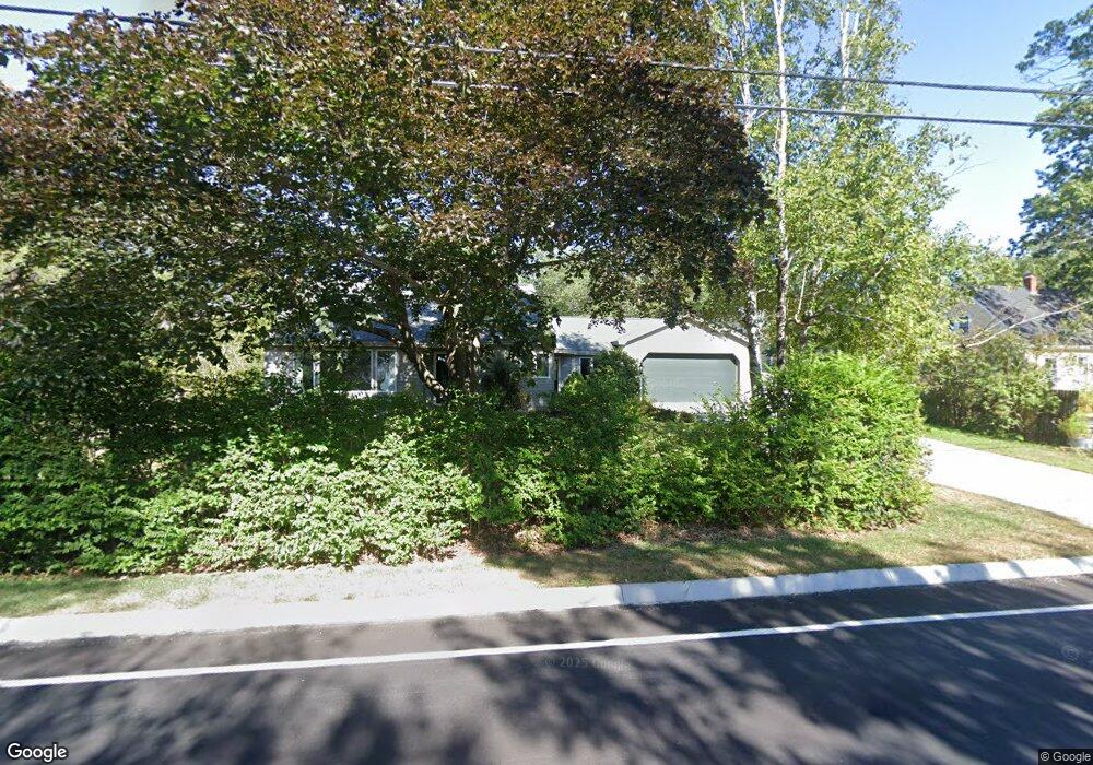
255 Falmouth Rd Falmouth, ME 04105
Estimated Value: $700,000 - $822,000
3
Beds
3
Baths
1,650
Sq Ft
$462/Sq Ft
Est. Value
About This Home
This home is located at 255 Falmouth Rd, Falmouth, ME 04105 and is currently estimated at $762,683, approximately $462 per square foot. 255 Falmouth Rd is a home located in Cumberland County with nearby schools including Falmouth Middle School and Falmouth High School.
Ownership History
Date
Name
Owned For
Owner Type
Purchase Details
Closed on
Jun 22, 2009
Sold by
Allen Christopher W and Allen Christeen M
Bought by
Jones Elizabeth M and Wiles Markus N
Current Estimated Value
Home Financials for this Owner
Home Financials are based on the most recent Mortgage that was taken out on this home.
Original Mortgage
$255,600
Outstanding Balance
$162,707
Interest Rate
4.91%
Mortgage Type
Unknown
Estimated Equity
$599,976
Create a Home Valuation Report for This Property
The Home Valuation Report is an in-depth analysis detailing your home's value as well as a comparison with similar homes in the area
Home Values in the Area
Average Home Value in this Area
Purchase History
| Date | Buyer | Sale Price | Title Company |
|---|---|---|---|
| Jones Elizabeth M | -- | -- |
Source: Public Records
Mortgage History
| Date | Status | Borrower | Loan Amount |
|---|---|---|---|
| Open | Jones Elizabeth M | $255,600 |
Source: Public Records
Tax History Compared to Growth
Tax History
| Year | Tax Paid | Tax Assessment Tax Assessment Total Assessment is a certain percentage of the fair market value that is determined by local assessors to be the total taxable value of land and additions on the property. | Land | Improvement |
|---|---|---|---|---|
| 2024 | $7,463 | $557,800 | $228,500 | $329,300 |
| 2023 | $6,919 | $547,400 | $228,500 | $318,900 |
| 2022 | $6,525 | $547,400 | $228,500 | $318,900 |
| 2021 | $5,687 | $326,300 | $148,500 | $177,800 |
| 2020 | $5,563 | $326,300 | $148,500 | $177,800 |
| 2019 | $5,614 | $332,800 | $148,500 | $184,300 |
| 2018 | $5,481 | $332,800 | $148,500 | $184,300 |
| 2017 | $4,964 | $317,800 | $148,500 | $169,300 |
| 2016 | $4,688 | $310,700 | $148,500 | $162,200 |
| 2015 | $4,546 | $310,700 | $148,500 | $162,200 |
| 2014 | $4,381 | $310,700 | $148,500 | $162,200 |
| 2012 | -- | $310,700 | $148,500 | $162,200 |
Source: Public Records
Map
Nearby Homes
- 259 Falmouth Rd
- 1 Geary Way
- 2 Sunnyfield Ln
- 132 Hope Ave
- 24 Brandy Ln
- 153 Falmouth Rd
- 60 Crestview Dr
- 24 Surrey Ln
- Unit 6 Constellation Way
- Unit 6 Constellation Way Unit 6
- Unit 7 Constellation Way
- Unit 1 Constellation Way Unit 1
- 1 Blackstrap Rd
- 118 Pineloch Dr
- 69 Falmouth Rd
- 2 Surrey Ln
- 9 Cobblestone St Unit 55
- 110 Brook Rd
- 67 Field Rd
- 71 Brook Rd
- 253 Falmouth Rd
- 0 Woodville Road & Field Rd
- 256 Falmouth Rd
- Lot 1 Woodville Rd
- 10 Woodville Rd
- 249 Falmouth Rd
- 250 Falmouth Rd
- 260 Falmouth Rd
- 0 Falmouth Rd
- 7 Woodville Rd
- 11 Woodville Rd
- 3 Juniper Ln
- 244 Falmouth Rd
- 14 Woodville Rd
- 243 Falmouth Rd
- 15 Woodville Rd
- 2 Whitney Farm Way
- 2 Whitney Farm Way
- 5 Juniper Ln
- 5 Juniper Ln