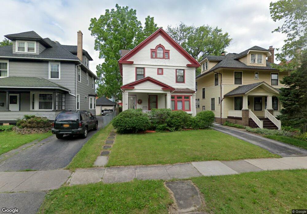
255 Sherwood Ave Rochester, NY 14619
19th Ward NeighborhoodEstimated Value: $172,000 - $200,000
3
Beds
1
Bath
1,440
Sq Ft
$125/Sq Ft
Est. Value
About This Home
This home is located at 255 Sherwood Ave, Rochester, NY 14619 and is currently estimated at $180,492, approximately $125 per square foot. 255 Sherwood Ave is a home located in Monroe County with nearby schools including John Walton Spencer School No. 16, Adlai E. Stevenson School 29, and George Mather Forbes School No. 4.
Ownership History
Date
Name
Owned For
Owner Type
Purchase Details
Closed on
Feb 12, 2008
Sold by
Harrison Lawrence
Bought by
Gause Angela
Current Estimated Value
Home Financials for this Owner
Home Financials are based on the most recent Mortgage that was taken out on this home.
Original Mortgage
$71,534
Outstanding Balance
$43,952
Interest Rate
5.57%
Mortgage Type
Adjustable Rate Mortgage/ARM
Estimated Equity
$136,540
Create a Home Valuation Report for This Property
The Home Valuation Report is an in-depth analysis detailing your home's value as well as a comparison with similar homes in the area
Home Values in the Area
Average Home Value in this Area
Purchase History
| Date | Buyer | Sale Price | Title Company |
|---|---|---|---|
| Gause Angela | $72,100 | -- |
Source: Public Records
Mortgage History
| Date | Status | Borrower | Loan Amount |
|---|---|---|---|
| Open | Gause Angela | $71,534 |
Source: Public Records
Tax History Compared to Growth
Tax History
| Year | Tax Paid | Tax Assessment Tax Assessment Total Assessment is a certain percentage of the fair market value that is determined by local assessors to be the total taxable value of land and additions on the property. | Land | Improvement |
|---|---|---|---|---|
| 2024 | $1,213 | $137,900 | $9,600 | $128,300 |
| 2023 | $921 | $80,800 | $7,400 | $73,400 |
| 2022 | $954 | $80,800 | $7,400 | $73,400 |
| 2021 | $974 | $80,800 | $7,400 | $73,400 |
| 2020 | $973 | $80,800 | $7,400 | $73,400 |
| 2019 | $967 | $73,300 | $7,400 | $65,900 |
| 2018 | $1,630 | $73,300 | $7,400 | $65,900 |
| 2017 | $0 | $73,300 | $7,400 | $65,900 |
| 2016 | $967 | $73,300 | $7,400 | $65,900 |
| 2015 | $1,596 | $70,000 | $7,400 | $62,600 |
| 2014 | $1,596 | $70,000 | $7,400 | $62,600 |
Source: Public Records
Map
Nearby Homes
- 469 Arnett Blvd
- 409 Arnett Blvd
- 3 Ravenwood Ave
- 119-121 Thurston Rd
- 77 Post Ave
- 91-97 Thurston Rd
- 261 Warwick Ave
- 66 Ringle St
- 485 Rugby Ave
- 132-134 Salina St
- 56 Chili Terrace
- 359 Wellington Ave
- 457-459 Chili Ave
- 133 Rugby Ave
- 179 Warwick Ave
- 101 Roxborough Rd
- 64 Flanders St
- 456-458 Chili Ave
- 564 Chili Ave
- 149 Warwick Ave
- 251 Sherwood Ave
- 259 Sherwood Ave
- 263 Sherwood Ave
- 238 Post Ave
- 232 Post Ave
- 244 Post Ave
- 269 Sherwood Ave
- 226 Post Ave
- 250 Post Ave
- 273 Sherwood Ave
- 254 Post Ave
- 220 Post Ave
- 254 Sherwood Ave
- 248 Sherwood Ave
- 260 Sherwood Ave
- 264 Sherwood Ave
- 242 Sherwood Ave
- 258 Post Ave
- 281 Sherwood Ave
- 509 Arnett Blvd