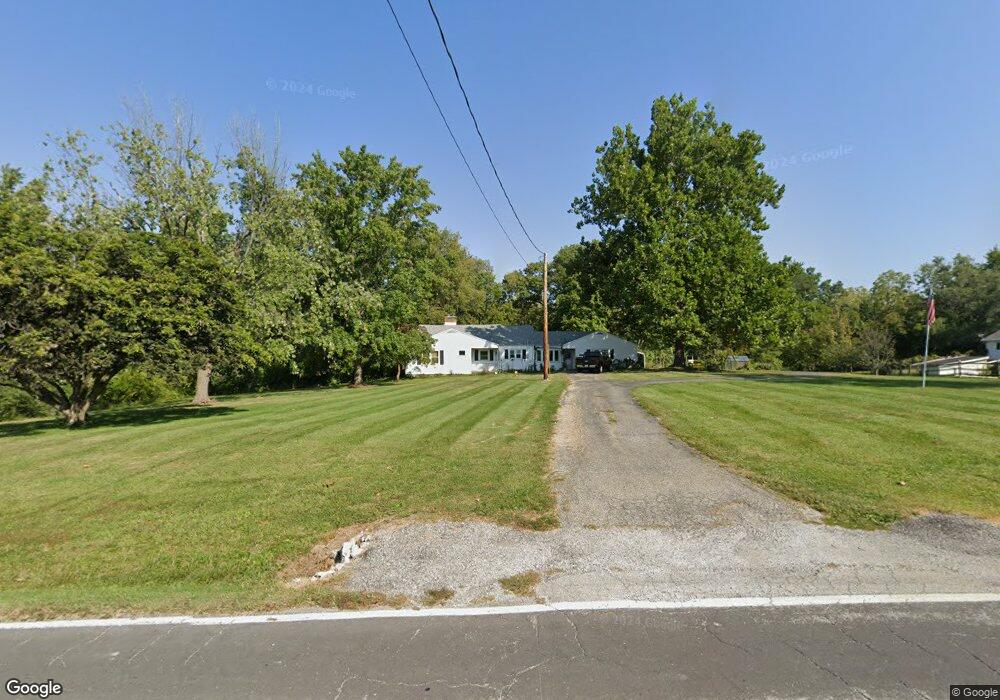
2550 W Rock Springs Rd Decatur, IL 62521
Estimated Value: $165,923 - $186,000
3
Beds
2
Baths
3,050
Sq Ft
$57/Sq Ft
Est. Value
About This Home
This home is located at 2550 W Rock Springs Rd, Decatur, IL 62521 and is currently estimated at $175,231, approximately $57 per square foot. 2550 W Rock Springs Rd is a home located in Macon County with nearby schools including South Shores Elementary School, Stephen Decatur Middle School, and Holy Family Catholic School.
Ownership History
Date
Name
Owned For
Owner Type
Purchase Details
Closed on
May 20, 2014
Sold by
Mixell Daniel R
Bought by
Mixell Daniel R and Mixell Wendy M
Current Estimated Value
Purchase Details
Closed on
Aug 17, 2007
Sold by
Mussulman Maxine M
Bought by
Mixell Daniel R
Home Financials for this Owner
Home Financials are based on the most recent Mortgage that was taken out on this home.
Original Mortgage
$110,066
Interest Rate
6.79%
Mortgage Type
VA
Create a Home Valuation Report for This Property
The Home Valuation Report is an in-depth analysis detailing your home's value as well as a comparison with similar homes in the area
Home Values in the Area
Average Home Value in this Area
Purchase History
| Date | Buyer | Sale Price | Title Company |
|---|---|---|---|
| Mixell Daniel R | -- | None Available | |
| Mixell Daniel R | $110,000 | None Available |
Source: Public Records
Mortgage History
| Date | Status | Borrower | Loan Amount |
|---|---|---|---|
| Previous Owner | Mixell Daniel R | $110,066 |
Source: Public Records
Tax History Compared to Growth
Tax History
| Year | Tax Paid | Tax Assessment Tax Assessment Total Assessment is a certain percentage of the fair market value that is determined by local assessors to be the total taxable value of land and additions on the property. | Land | Improvement |
|---|---|---|---|---|
| 2024 | -- | $41,227 | $11,770 | $29,457 |
| 2023 | -- | $39,767 | $11,353 | $28,414 |
| 2022 | $0 | $32,780 | $7,004 | $25,776 |
| 2021 | $1,667 | $30,614 | $6,541 | $24,073 |
| 2020 | $1,667 | $29,193 | $6,238 | $22,955 |
| 2019 | $1,667 | $29,193 | $6,238 | $22,955 |
| 2018 | $0 | $29,167 | $6,136 | $23,031 |
| 2017 | $0 | $29,946 | $6,300 | $23,646 |
| 2016 | $1,667 | $30,251 | $6,364 | $23,887 |
| 2015 | $1,974 | $29,716 | $6,251 | $23,465 |
| 2014 | $1,765 | $29,422 | $6,189 | $23,233 |
| 2013 | $1,928 | $30,527 | $6,421 | $24,106 |
Source: Public Records
Map
Nearby Homes
- 2207 Forest Crest Dr
- 2529 W Alice Ln
- 1739 Moorwood Dr
- 15 Calumet Rd
- 2705 S Taylor Rd
- 1740 S Fairview Ave
- 345 S Westdale Ave
- 2970 Olympia Dr
- 353 S Linden Ave
- 310 S Glencoe Ave
- 285 S Glencoe Ave
- 248 S Linden Ave
- 1833 Burning Tree Dr
- 215 S Glencoe Ave
- 214 S Linden Ave
- 231 S Redwood Ln
- 198 S Westdale Ave
- 3031 Heritage Rd
- 180 S Glencoe Ave
- 365 S Taylor Ave
- 2526 W Rock Springs Rd
- 2505 W Rock Springs Rd
- 1814 Dipper Ln
- 2475 W Rock Springs Rd
- 2555 W Rock Springs Rd
- 1960 Dipper Ln
- 2455 W Rock Springs Rd
- 2605 W Rock Springs Rd
- 1810 Dipper Ln
- 2520 W Rock Springs Rd
- 1812 Dipper Ln
- 2380 W Rock Springs Rd
- 2405 W Rock Springs Rd
- 2708 W Rock Springs Rd
- 2385 W Rock Springs Rd
- 1790 Dipper Ln
- 2370 W Rock Springs Rd
- 2655 W Rock Springs Rd
- 2375 W Rock Springs Rd
- 2365 W Rock Springs Rd