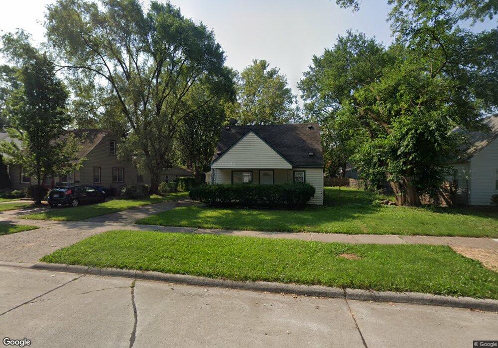
25515 Powers Ave Dearborn Heights, MI 48125
Estimated Value: $156,000 - $223,000
3
Beds
2
Baths
1,472
Sq Ft
$131/Sq Ft
Est. Value
About This Home
This home is located at 25515 Powers Ave, Dearborn Heights, MI 48125 and is currently estimated at $193,426, approximately $131 per square foot. 25515 Powers Ave is a home located in Wayne County with nearby schools including Quest Charter Academy, West Village Academy, and Peterson-Warren Academy.
Ownership History
Date
Name
Owned For
Owner Type
Purchase Details
Closed on
Dec 30, 2002
Sold by
Hud
Bought by
Mahmood Hikmat
Current Estimated Value
Purchase Details
Closed on
Dec 16, 2001
Sold by
Standard Federal Bank
Bought by
Hud
Purchase Details
Closed on
Jan 3, 2001
Sold by
Harnos Douglas P
Bought by
Standard Federal Bank
Purchase Details
Closed on
Mar 24, 1997
Sold by
Hawkes Jeff and Hawkes Jeffrey
Bought by
Douglas P Harnos
Create a Home Valuation Report for This Property
The Home Valuation Report is an in-depth analysis detailing your home's value as well as a comparison with similar homes in the area
Home Values in the Area
Average Home Value in this Area
Purchase History
| Date | Buyer | Sale Price | Title Company |
|---|---|---|---|
| Mahmood Hikmat | $68,000 | -- | |
| Hud | -- | -- | |
| Standard Federal Bank | $75,067 | -- | |
| Douglas P Harnos | $69,100 | -- |
Source: Public Records
Tax History Compared to Growth
Tax History
| Year | Tax Paid | Tax Assessment Tax Assessment Total Assessment is a certain percentage of the fair market value that is determined by local assessors to be the total taxable value of land and additions on the property. | Land | Improvement |
|---|---|---|---|---|
| 2025 | $1,972 | $97,100 | $0 | $0 |
| 2024 | $1,972 | $78,600 | $0 | $0 |
| 2023 | $1,792 | $67,400 | $0 | $0 |
| 2022 | $2,638 | $57,200 | $0 | $0 |
| 2021 | $2,617 | $50,900 | $0 | $0 |
| 2019 | $2,422 | $40,300 | $0 | $0 |
| 2018 | $1,554 | $37,500 | $0 | $0 |
| 2017 | $1,606 | $36,600 | $0 | $0 |
| 2016 | $2,304 | $37,100 | $0 | $0 |
| 2015 | $3,450 | $34,500 | $0 | $0 |
| 2013 | $3,700 | $38,400 | $0 | $0 |
| 2010 | -- | $44,800 | $0 | $0 |
Source: Public Records
Map
Nearby Homes
- 25628 Powers Ave
- 5118 Michael St
- 25474 McDonald St
- 25926 Powers Ave
- 25965 Currier St
- 5842 Janet St
- 5845 Beech Daly Rd
- 25895 Annapolis St
- 5904 Janet St
- 26106 Powers Ave
- 4856 Carolee Ln
- 5961 Beech Daly Rd
- 25243 Lehigh St
- 5963 Vivian St
- 5961 Marvin St
- 6020 Vivian St
- 25212 Lehigh St
- 25118 Lehigh St
- 26225 McDonald St
- 24754 Annapolis St
- 25525 Powers Ave
- 25535 Powers Ave
- 25493 Powers Ave
- 25481 Powers Ave
- 25547 Powers Ave
- 25564 Currier St
- 25570 Currier St
- 25469 Powers Ave
- 25574 Currier St
- 25580 Currier St
- 25518 Powers Ave
- 25526 Powers Ave
- 25510 Powers Ave
- 25459 Powers Ave
- 25536 Powers Ave
- 25444 Currier St
- 25552 Currier St Unit Bldg-Unit
- 25552 Currier St
- 25552 Currier St
- 25548 Powers Ave