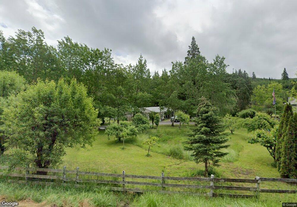
25568 Highway 36 Cheshire, OR 97419
Estimated Value: $620,000 - $800,170
3
Beds
3
Baths
1,920
Sq Ft
$375/Sq Ft
Est. Value
About This Home
This home is located at 25568 Highway 36, Cheshire, OR 97419 and is currently estimated at $719,543, approximately $374 per square foot. 25568 Highway 36 is a home located in Lane County with nearby schools including Junction City High School.
Ownership History
Date
Name
Owned For
Owner Type
Purchase Details
Closed on
Sep 6, 2024
Sold by
Knupp Rochelle L
Bought by
Knupp Rochelle L and Carey David H
Current Estimated Value
Purchase Details
Closed on
Feb 15, 2019
Sold by
Burkert Michael F
Bought by
Knupp Rachelle Lk
Purchase Details
Closed on
Dec 5, 2007
Sold by
Rasher Randall K and Rasher Beverly B
Bought by
Fortner Rochelle L and Burkert Michael F
Home Financials for this Owner
Home Financials are based on the most recent Mortgage that was taken out on this home.
Original Mortgage
$296,000
Interest Rate
6.3%
Mortgage Type
Purchase Money Mortgage
Purchase Details
Closed on
Mar 23, 2000
Sold by
Rasher Randall K
Bought by
Rasher Randall K and Rasher Beverly B
Create a Home Valuation Report for This Property
The Home Valuation Report is an in-depth analysis detailing your home's value as well as a comparison with similar homes in the area
Home Values in the Area
Average Home Value in this Area
Purchase History
| Date | Buyer | Sale Price | Title Company |
|---|---|---|---|
| Knupp Rochelle L | -- | None Listed On Document | |
| Knupp Rachelle Lk | $25,000 | None Available | |
| Fortner Rochelle L | $370,000 | First American Title | |
| Rasher Randall K | -- | -- |
Source: Public Records
Mortgage History
| Date | Status | Borrower | Loan Amount |
|---|---|---|---|
| Previous Owner | Fortner Rochelle L | $296,000 |
Source: Public Records
Tax History Compared to Growth
Tax History
| Year | Tax Paid | Tax Assessment Tax Assessment Total Assessment is a certain percentage of the fair market value that is determined by local assessors to be the total taxable value of land and additions on the property. | Land | Improvement |
|---|---|---|---|---|
| 2024 | $4,694 | $400,753 | -- | -- |
| 2023 | $4,694 | $389,081 | $0 | $0 |
| 2022 | $4,363 | $377,749 | $0 | $0 |
| 2021 | $4,180 | $366,747 | $0 | $0 |
| 2020 | $4,030 | $356,066 | $0 | $0 |
| 2019 | $3,878 | $345,696 | $0 | $0 |
| 2018 | $3,769 | $325,852 | $0 | $0 |
| 2017 | $3,628 | $325,852 | $0 | $0 |
| 2016 | $3,168 | $281,190 | $0 | $0 |
| 2015 | $2,673 | $273,000 | $0 | $0 |
| 2014 | $2,593 | $265,049 | $0 | $0 |
Source: Public Records
Map
Nearby Homes
- 24099 Hall Rd
- 0 Hall Rd Unit 669949428
- 92891 Allens Alley
- 92935 Allens Alley
- 24741 Hall Rd
- 24600 Highway 36
- 0 Applegate Trail Unit 307 24170632
- 0 Applegate Trail Unit 264157385
- 0 Applegate Trail Unit 220199156
- 0 Applegate Trail Unit 827481
- 92884 Applegate Trail
- 94335 Templeton Rd
- 93295 Territorial Hwy Unit 5
- 91066 C St
- 24829 High Pass Rd
- 0 B St Unit 770716590
- 24626 Demming Ridge Rd
- 27403 6th St
- 0 Main St
- 90774 Alvadore Rd
- 25507 Highway 36
- 25510 Highway 36
- 25611 Oregon 36
- 25611 Highway 36
- 25489 Highway 36
- 25573 Highway 36
- 25470 Highway 36
- 25470 Highway 36
- 25571 Highway 36
- 25453 Highway 36
- 25571 Oregon 36
- 25432 Oregon 36
- 25432 Highway 36
- 25645 Highway 36
- 25366 Highway 36
- 25575 Highway 36
- 25545 Highway 36
- 25339 Highway 36
- 25710 Oregon 36
- 25477 Highway 36