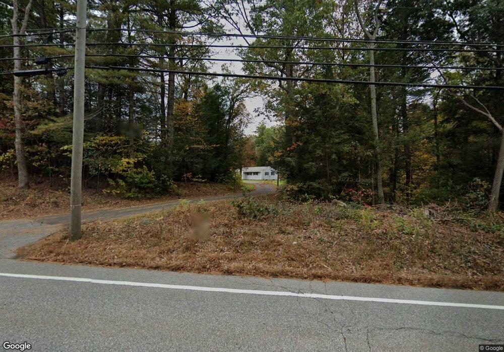
256 Buckley Hwy Stafford Springs, CT 06076
Stafford NeighborhoodEstimated Value: $328,673 - $386,000
3
Beds
1
Bath
1,195
Sq Ft
$298/Sq Ft
Est. Value
About This Home
This home is located at 256 Buckley Hwy, Stafford Springs, CT 06076 and is currently estimated at $356,418, approximately $298 per square foot. 256 Buckley Hwy is a home located in Tolland County with nearby schools including Stafford Elementary School, Stafford Middle School, and Stafford High School.
Ownership History
Date
Name
Owned For
Owner Type
Purchase Details
Closed on
Oct 13, 2016
Sold by
Est Stark Darrell D and Gilbert Judy
Bought by
Drouin Paul
Current Estimated Value
Home Financials for this Owner
Home Financials are based on the most recent Mortgage that was taken out on this home.
Original Mortgage
$179,948
Outstanding Balance
$144,262
Interest Rate
3.46%
Mortgage Type
Purchase Money Mortgage
Estimated Equity
$212,156
Purchase Details
Closed on
Jun 17, 2014
Sold by
Stark Julia
Bought by
Stark Darrell D
Create a Home Valuation Report for This Property
The Home Valuation Report is an in-depth analysis detailing your home's value as well as a comparison with similar homes in the area
Home Values in the Area
Average Home Value in this Area
Purchase History
| Date | Buyer | Sale Price | Title Company |
|---|---|---|---|
| Drouin Paul | $175,000 | -- | |
| Stark Darrell D | -- | -- |
Source: Public Records
Mortgage History
| Date | Status | Borrower | Loan Amount |
|---|---|---|---|
| Open | Drouin Paul | $179,948 |
Source: Public Records
Tax History Compared to Growth
Tax History
| Year | Tax Paid | Tax Assessment Tax Assessment Total Assessment is a certain percentage of the fair market value that is determined by local assessors to be the total taxable value of land and additions on the property. | Land | Improvement |
|---|---|---|---|---|
| 2025 | $7,477 | $139,930 | $36,890 | $103,040 |
| 2024 | $5,400 | $139,930 | $36,890 | $103,040 |
| 2023 | $5,144 | $139,930 | $36,890 | $103,040 |
| 2022 | $5,007 | $139,930 | $36,890 | $103,040 |
| 2021 | $4,888 | $139,930 | $36,890 | $103,040 |
| 2020 | $4,783 | $136,920 | $42,840 | $94,080 |
| 2019 | $4,761 | $136,290 | $42,840 | $93,450 |
| 2018 | $4,669 | $136,290 | $42,840 | $93,450 |
| 2017 | $4,624 | $136,290 | $42,840 | $93,450 |
| 2016 | $4,567 | $136,290 | $42,840 | $93,450 |
| 2015 | $3,093 | $140,210 | $42,840 | $97,370 |
| 2014 | $4,631 | $140,210 | $42,840 | $97,370 |
Source: Public Records
Map
Nearby Homes
- 8 South Rd Unit W86
- 8 South Rd Unit WW4
- 8 South Rd Unit R80
- 8 South Rd Unit R29
- 74 Crooked S Rd
- 3 Hemlock Cir
- 89 Bradway Rd
- 13 Goodell Rd
- 28 Fluery Dr
- 174 Stafford St
- 336 East St
- 385 East St
- 237 Upper Rd
- 23 East St
- 61 Lohse Rd
- 57 Lohse Rd
- 28 Cemetery Rd
- 20 Grant Ave
- 107 Hydeville Rd
- 92 Furnace Ave Unit 68
- 260 Buckley Hwy
- 257 Buckley Hwy
- 246 Buckley Hwy
- 173 Crooked S Rd
- 176 Fenton Rd
- 165 Crooked S Rd
- 236 Buckley Hwy
- 284 Buckley Hwy
- 161-65 Crooked Rd S
- 228 Buckley Hwy
- 301 Buckley Hwy
- 159 Crooked S Rd
- 313 Buckley Hwy
- 204 Buckley Hwy
- 321 Buckley Hwy
- 140 Crooked S Rd
- 196 Buckley Hwy
- 325 Buckley Hwy
- 329 Buckley Hwy
- 197 Buckley Hwy