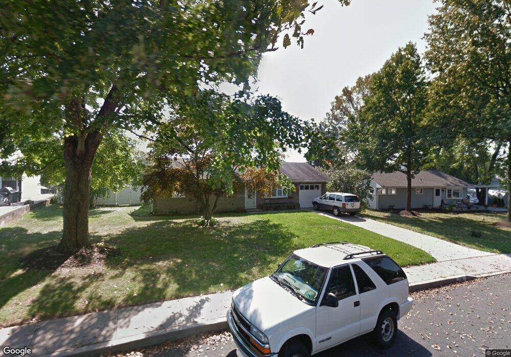
256 Yorkshire Rd Unit H Fairless Hills, PA 19030
Estimated Value: $318,391 - $390,000
--
Bed
1
Bath
960
Sq Ft
$374/Sq Ft
Est. Value
About This Home
This home is located at 256 Yorkshire Rd Unit H, Fairless Hills, PA 19030 and is currently estimated at $359,348, approximately $374 per square foot. 256 Yorkshire Rd Unit H is a home located in Bucks County with nearby schools including Oxford Valley Elementary School, William Penn Middle School, and Pennsbury High School.
Ownership History
Date
Name
Owned For
Owner Type
Purchase Details
Closed on
Dec 20, 1995
Sold by
Nestlerode Suzanne
Bought by
Mcgrogan Terrance and Mcgrogan Lauren L
Current Estimated Value
Home Financials for this Owner
Home Financials are based on the most recent Mortgage that was taken out on this home.
Original Mortgage
$98,800
Interest Rate
7.1%
Purchase Details
Closed on
Nov 4, 1953
Bought by
Nestlerode Floyd P
Create a Home Valuation Report for This Property
The Home Valuation Report is an in-depth analysis detailing your home's value as well as a comparison with similar homes in the area
Home Values in the Area
Average Home Value in this Area
Purchase History
| Date | Buyer | Sale Price | Title Company |
|---|---|---|---|
| Mcgrogan Terrance | $104,000 | -- | |
| Nestlerode Floyd P | -- | -- |
Source: Public Records
Mortgage History
| Date | Status | Borrower | Loan Amount |
|---|---|---|---|
| Previous Owner | Mcgrogan Terrance | $98,800 |
Source: Public Records
Tax History Compared to Growth
Tax History
| Year | Tax Paid | Tax Assessment Tax Assessment Total Assessment is a certain percentage of the fair market value that is determined by local assessors to be the total taxable value of land and additions on the property. | Land | Improvement |
|---|---|---|---|---|
| 2025 | $4,276 | $19,200 | $5,760 | $13,440 |
| 2024 | $4,276 | $19,200 | $5,760 | $13,440 |
| 2023 | $4,097 | $19,200 | $5,760 | $13,440 |
| 2022 | $3,969 | $19,200 | $5,760 | $13,440 |
| 2021 | $3,893 | $19,200 | $5,760 | $13,440 |
| 2020 | $3,893 | $19,200 | $5,760 | $13,440 |
| 2019 | $3,825 | $19,200 | $5,760 | $13,440 |
| 2018 | $3,777 | $19,200 | $5,760 | $13,440 |
| 2017 | $3,682 | $19,200 | $5,760 | $13,440 |
| 2016 | $3,682 | $19,200 | $5,760 | $13,440 |
| 2015 | $3,297 | $19,200 | $5,760 | $13,440 |
| 2014 | $3,297 | $19,200 | $5,760 | $13,440 |
Source: Public Records
Map
Nearby Homes
- 225 Yorkshire Rd Unit HIII
- 208 Suffolk Rd
- 479 Stanford Rd
- 571 Fernwood Ln
- 560 Fernwood Ln
- 245 Trenton Rd
- 20 Trellis Rd
- 114 Nursery Ave
- 53 Crestwood Rd
- 14 Cinnamon Rd
- 46 Quill Rd
- 525 Nel Dr
- 212 Apple St
- 331 Doone Place
- 59 Liberty Dr
- 31 Quail Rd
- 180 Andover Rd Unit A
- 23 Crystal Place
- 65 Candle Rd
- 28 Rainbow Ln
- 254 Yorkshire Rd Unit H
- 209 Welsford Rd
- 211 Welsford Rd
- 258 Yorkshire Rd
- 252 Yorkshire Rd
- 213 Welsford Rd
- 255 Yorkshire Rd
- 215 Welsford Rd
- 260 Yorkshire Rd
- 257 Yorkshire Rd
- 257 Waltham Rd
- 251 Yorkshire Rd
- 205 Welsford Rd
- 217 Welsford Rd
- 259 Waltham Rd
- 259 Yorkshire Rd
- 253 Waltham Rd
- 262 Yorkshire Rd
- 210 Welsford Rd
- 208 Welsford Rd