2560 Banshire Dr Herndon, VA 20171
Estimated Value: $572,369 - $615,000
3
Beds
3
Baths
1,420
Sq Ft
$419/Sq Ft
Est. Value
About This Home
This home is located at 2560 Banshire Dr, Herndon, VA 20171 and is currently estimated at $594,842, approximately $418 per square foot. 2560 Banshire Dr is a home located in Fairfax County with nearby schools including L.L. Coates Elementary School, Rachel Carson Middle School, and Westfield High School.
Ownership History
Date
Name
Owned For
Owner Type
Purchase Details
Closed on
Feb 26, 1999
Sold by
N V R Inc
Bought by
Bronstein Bayla C
Current Estimated Value
Home Financials for this Owner
Home Financials are based on the most recent Mortgage that was taken out on this home.
Original Mortgage
$168,865
Outstanding Balance
$40,974
Interest Rate
6.78%
Estimated Equity
$553,868
Create a Home Valuation Report for This Property
The Home Valuation Report is an in-depth analysis detailing your home's value as well as a comparison with similar homes in the area
Home Values in the Area
Average Home Value in this Area
Purchase History
| Date | Buyer | Sale Price | Title Company |
|---|---|---|---|
| Bronstein Bayla C | $169,000 | -- |
Source: Public Records
Mortgage History
| Date | Status | Borrower | Loan Amount |
|---|---|---|---|
| Open | Bronstein Bayla C | $168,865 |
Source: Public Records
Tax History Compared to Growth
Tax History
| Year | Tax Paid | Tax Assessment Tax Assessment Total Assessment is a certain percentage of the fair market value that is determined by local assessors to be the total taxable value of land and additions on the property. | Land | Improvement |
|---|---|---|---|---|
| 2025 | $6,267 | $563,390 | $205,000 | $358,390 |
| 2024 | $6,267 | $540,980 | $200,000 | $340,980 |
| 2023 | $6,191 | $548,640 | $200,000 | $348,640 |
| 2022 | $5,515 | $482,260 | $150,000 | $332,260 |
| 2021 | $5,292 | $450,920 | $125,000 | $325,920 |
| 2020 | $5,245 | $443,200 | $125,000 | $318,200 |
| 2019 | $5,082 | $429,390 | $120,000 | $309,390 |
| 2018 | $4,630 | $402,620 | $115,000 | $287,620 |
| 2017 | $4,674 | $402,620 | $115,000 | $287,620 |
| 2016 | $4,664 | $402,620 | $115,000 | $287,620 |
| 2015 | $4,291 | $384,530 | $115,000 | $269,530 |
| 2014 | $4,282 | $384,530 | $115,000 | $269,530 |
Source: Public Records
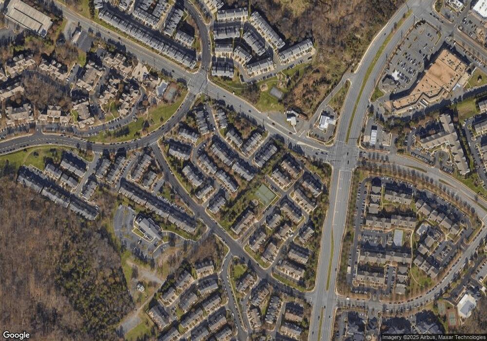
Map
Nearby Homes
- 2546 James Maury Dr
- 2559 Peter Jefferson Ln
- 13506 Innovation Station Loop Unit 2B
- 0A River Birch Rd
- 0A-2 River Birch Rd
- 2611 River Birch Rd
- 2605 River Birch Rd
- 2601 River Birch Rd
- 2609 River Birch Rd
- 2615 River Birch Rd
- 2603 River Birch Rd
- 2619 River Birch Rd
- 2617 River Birch Rd
- 3499 Audubon Cove
- 3495 Audubon Cove
- 2607 River Birch Rd
- 2625 River Birch Rd
- 2613 River Birch Rd
- 2621 River Birch Rd
- 2623 River Birch Rd
- 2562 Banshire Dr
- 2564 Banshire Dr
- 2558 Banshire Dr
- 2566 Banshire Dr
- 2556 Banshire Dr
- 2554 Banshire Dr
- 13513 Avonmore Dr
- 2577 Chase Wellesley Dr
- 2575 Chase Wellesley Dr
- 2579 Chase Wellesley Dr
- 2573 Chase Wellesley Dr
- 2550 Banshire Dr
- 2571 Chase Wellesley Dr
- 13511 Avonmore Dr
- 13514 Avonmore Dr
- 2569 Chase Wellesley Dr
- 2548 Banshire Dr
- 2567 Chase Wellesley Dr
- 13509 Avonmore Dr
- 13512 Avonmore Dr