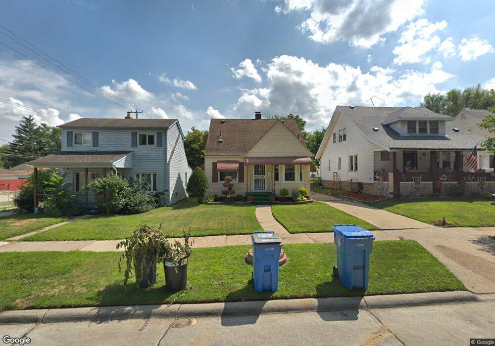
25613 Powers Ave Dearborn Heights, MI 48125
Estimated Value: $153,290 - $203,000
3
Beds
1
Bath
1,320
Sq Ft
$128/Sq Ft
Est. Value
About This Home
This home is located at 25613 Powers Ave, Dearborn Heights, MI 48125 and is currently estimated at $168,823, approximately $127 per square foot. 25613 Powers Ave is a home located in Wayne County with nearby schools including Quest Charter Academy, West Village Academy, and Peterson-Warren Academy.
Ownership History
Date
Name
Owned For
Owner Type
Purchase Details
Closed on
Jul 15, 2013
Sold by
Woosck Oliver Frank and Woosck Carol A
Bought by
Woosck Oliver Frank and Woosck Carol A
Current Estimated Value
Purchase Details
Closed on
Sep 18, 2006
Sold by
Bartus Geraldine
Bought by
Woosck O Frank
Purchase Details
Closed on
Oct 1, 2004
Sold by
Garland Margaret and Kowalski Helen
Bought by
Bartus Geraldine
Create a Home Valuation Report for This Property
The Home Valuation Report is an in-depth analysis detailing your home's value as well as a comparison with similar homes in the area
Home Values in the Area
Average Home Value in this Area
Purchase History
| Date | Buyer | Sale Price | Title Company |
|---|---|---|---|
| Woosck Oliver Frank | -- | None Available | |
| Woosck O Frank | $26,000 | Multiple | |
| Bartus Geraldine | -- | -- |
Source: Public Records
Tax History Compared to Growth
Tax History
| Year | Tax Paid | Tax Assessment Tax Assessment Total Assessment is a certain percentage of the fair market value that is determined by local assessors to be the total taxable value of land and additions on the property. | Land | Improvement |
|---|---|---|---|---|
| 2025 | $1,429 | $70,700 | $0 | $0 |
| 2024 | $1,429 | $59,100 | $0 | $0 |
| 2023 | $1,298 | $50,700 | $0 | $0 |
| 2022 | $1,909 | $42,500 | $0 | $0 |
| 2021 | $1,895 | $37,300 | $0 | $0 |
| 2019 | $1,755 | $29,000 | $0 | $0 |
| 2018 | $1,126 | $27,200 | $0 | $0 |
| 2017 | $1,162 | $26,500 | $0 | $0 |
| 2016 | $1,669 | $26,900 | $0 | $0 |
| 2015 | $2,500 | $25,000 | $0 | $0 |
| 2013 | $2,681 | $28,200 | $0 | $0 |
| 2010 | -- | $28,500 | $0 | $0 |
Source: Public Records
Map
Nearby Homes
- 25628 Powers Ave
- 25926 Powers Ave
- 25965 Currier St
- 5118 Michael St
- 5842 Janet St
- 25474 McDonald St
- 5845 Beech Daly Rd
- 26106 Powers Ave
- 25895 Annapolis St
- 5904 Janet St
- 5961 Beech Daly Rd
- 5961 Marvin St
- 4856 Carolee Ln
- 26225 McDonald St
- 25243 Lehigh St
- 5963 Vivian St
- 6020 Vivian St
- 25212 Lehigh St
- 25118 Lehigh St
- 26532 Powers Ave
- 25621 Powers Ave
- 25605 Powers Ave
- 25629 Powers Ave
- 25637 Powers Ave
- 25620 Currier St
- 25612 Currier St
- 25604 Currier St
- 25547 Powers Ave
- 25628 Currier St
- 25645 Powers Ave
- 25638 Currier St
- 25620 Powers Ave
- 25535 Powers Ave
- 25580 Currier St
- 25650 Currier St
- 25636 Powers Ave
- 25612 Powers Ave
- 25525 Powers Ave
- 25574 Currier St
- 25548 Powers Ave