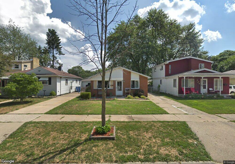
25643 McDonald St Dearborn Heights, MI 48125
Estimated Value: $141,000 - $158,000
3
Beds
1
Bath
988
Sq Ft
$153/Sq Ft
Est. Value
About This Home
This home is located at 25643 McDonald St, Dearborn Heights, MI 48125 and is currently estimated at $150,992, approximately $152 per square foot. 25643 McDonald St is a home located in Wayne County with nearby schools including West Village Academy, Quest Charter Academy, and Peterson-Warren Academy.
Ownership History
Date
Name
Owned For
Owner Type
Purchase Details
Closed on
Jul 21, 2010
Sold by
Dukes Alvin and Horn Brian
Bought by
Sekhon Sukhdev and Sekhon Gurbrinder
Current Estimated Value
Purchase Details
Closed on
Aug 31, 2009
Sold by
Wtotw Homes Llc
Bought by
Dukes Alvin
Purchase Details
Closed on
Aug 21, 2009
Sold by
Donovan Shaun
Bought by
Wtotw Homes Llc
Purchase Details
Closed on
Oct 3, 2008
Sold by
Wells Fargo Bank Na
Bought by
The Secretary Of Housing & Urban Develop
Purchase Details
Closed on
Apr 2, 2008
Sold by
Kalinski Jason M and Kalinski Dawn M
Bought by
Wells Fargo Bank Na
Create a Home Valuation Report for This Property
The Home Valuation Report is an in-depth analysis detailing your home's value as well as a comparison with similar homes in the area
Home Values in the Area
Average Home Value in this Area
Purchase History
| Date | Buyer | Sale Price | Title Company |
|---|---|---|---|
| Sekhon Sukhdev | $23,000 | Title One Inc | |
| Dukes Alvin | -- | None Available | |
| Wtotw Homes Llc | $12,101 | None Available | |
| The Secretary Of Housing & Urban Develop | -- | None Available | |
| Wells Fargo Bank Na | $69,574 | None Available |
Source: Public Records
Tax History Compared to Growth
Tax History
| Year | Tax Paid | Tax Assessment Tax Assessment Total Assessment is a certain percentage of the fair market value that is determined by local assessors to be the total taxable value of land and additions on the property. | Land | Improvement |
|---|---|---|---|---|
| 2025 | $1,434 | $64,500 | $0 | $0 |
| 2024 | $1,434 | $53,600 | $0 | $0 |
| 2023 | $1,304 | $46,000 | $0 | $0 |
| 2022 | $1,917 | $38,600 | $0 | $0 |
| 2021 | $1,903 | $34,500 | $0 | $0 |
| 2019 | $1,762 | $27,700 | $0 | $0 |
| 2018 | $1,131 | $26,100 | $0 | $0 |
| 2017 | $1,166 | $25,400 | $0 | $0 |
| 2016 | $1,675 | $26,200 | $0 | $0 |
| 2015 | $2,510 | $25,100 | $0 | $0 |
| 2013 | $2,800 | $29,300 | $0 | $0 |
| 2010 | -- | $35,000 | $0 | $0 |
Source: Public Records
Map
Nearby Homes
- 25474 McDonald St
- 25628 Powers Ave
- 25895 Annapolis St
- 25926 Powers Ave
- 5118 Michael St
- 25965 Currier St
- 25243 Lehigh St
- 26106 Powers Ave
- 25212 Lehigh St
- 26225 McDonald St
- 4856 Carolee Ln
- 25118 Lehigh St
- 26159 Stanford St
- 25866 Andover St
- 5842 Janet St
- 25085 Colgate St
- 24754 Annapolis St
- 5845 Beech Daly Rd
- 26202 Colgate St
- 24727 Hopkins St
- 25651 McDonald St
- 25633 McDonald St
- 25703 McDonald St
- 25625 McDonald St
- 25711 McDonald St
- 25619 McDonald St
- 25642 Eton Ave
- 25650 Eton Ave Unit Bldg-Unit
- 25650 Eton Ave
- 25702 Eton Ave
- 25626 Eton Ave
- 25613 McDonald St
- 25618 Eton Ave
- 25710 Eton Ave Unit Bldg-Unit
- 25710 Eton Ave
- 25644 McDonald St
- 25725 McDonald St
- 25704 McDonald St
- 25720 Eton Ave
- 25626 McDonald St