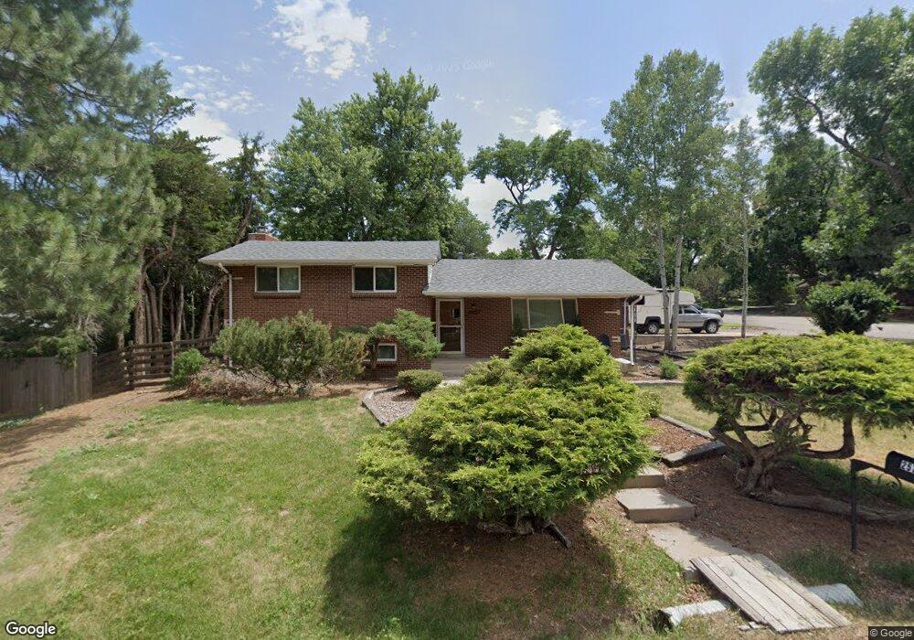
2570 Robb St Unit 3 Lakewood, CO 80215
Applewood Valley NeighborhoodEstimated Value: $737,000 - $797,000
3
Beds
3
Baths
1,136
Sq Ft
$664/Sq Ft
Est. Value
About This Home
This home is located at 2570 Robb St Unit 3, Lakewood, CO 80215 and is currently estimated at $754,347, approximately $664 per square foot. 2570 Robb St Unit 3 is a home located in Jefferson County with nearby schools including Stober Elementary School, Everitt Middle School, and Wheat Ridge High School.
Ownership History
Date
Name
Owned For
Owner Type
Purchase Details
Closed on
Sep 26, 2024
Sold by
Caesar Austin B and Caesar Margaretta O
Bought by
Reed Daniel K and Reed Pamela J
Current Estimated Value
Purchase Details
Closed on
Jan 18, 2013
Sold by
Healy Richard W
Bought by
Caesar Austin B and Caesar Margaretta O
Purchase Details
Closed on
Aug 11, 1998
Sold by
Andros Elizabeth A and Andros Richard W
Bought by
Healy Richard W
Purchase Details
Closed on
Feb 7, 1994
Sold by
Healy Richard W and Andros Elizabeth A
Bought by
Healy Richard W and Andros Elizabeth A
Create a Home Valuation Report for This Property
The Home Valuation Report is an in-depth analysis detailing your home's value as well as a comparison with similar homes in the area
Home Values in the Area
Average Home Value in this Area
Purchase History
| Date | Buyer | Sale Price | Title Company |
|---|---|---|---|
| Reed Daniel K | $744,500 | None Listed On Document | |
| Caesar Austin B | $296,950 | Heritage Title | |
| Healy Richard W | -- | -- | |
| Healy Richard W | -- | -- |
Source: Public Records
Tax History Compared to Growth
Tax History
| Year | Tax Paid | Tax Assessment Tax Assessment Total Assessment is a certain percentage of the fair market value that is determined by local assessors to be the total taxable value of land and additions on the property. | Land | Improvement |
|---|---|---|---|---|
| 2024 | $4,127 | $43,053 | $23,063 | $19,990 |
| 2023 | $4,127 | $43,053 | $23,063 | $19,990 |
| 2022 | $3,512 | $35,629 | $16,603 | $19,026 |
| 2021 | $3,541 | $36,654 | $17,080 | $19,574 |
| 2020 | $3,185 | $32,971 | $14,372 | $18,599 |
| 2019 | $3,144 | $32,971 | $14,372 | $18,599 |
| 2018 | $3,035 | $31,010 | $10,954 | $20,056 |
| 2017 | $2,730 | $31,010 | $10,954 | $20,056 |
| 2016 | $2,262 | $24,168 | $8,152 | $16,016 |
| 2015 | $2,339 | $24,168 | $8,152 | $16,016 |
| 2014 | $2,339 | $22,775 | $7,794 | $14,981 |
Source: Public Records
Map
Nearby Homes
- 11340 Benthaven Dr
- 11144 W 27th Ave
- 11569 W 27th Ave
- 11734 W Applewood Knolls Dr
- 2615 Oak Dr Unit 40
- 2140 Tabor Dr
- 2055 Quail Dr
- 2110 Tabor Dr
- 11542 W 29th Place
- 11954 W Applewood Knolls Dr
- 3086 Parfet Dr
- 12000 W 29th Place
- 11217 W 18th Ave Unit A
- 2368 Ward Dr
- 1832 Simms St Unit 1832A
- 11423 W 17th Place Unit I11423
- 1825 Simms St
- 1830 Simms St
- 2005 Nelson St
- 11760 W 32nd Ave
- 2570 Robb St
- 2580 Robb St
- 11410 Benthaven Dr
- 11395 Benthaven Dr
- 2575 Queen St
- 2565 Queen St
- 2575 Robb Ct
- 11380 W 26th Ave
- 2585 Queen St
- 2595 Robb St
- 2555 Queen St
- 11415 Benthaven Dr
- 11345 Benthaven Dr
- 2595 Queen St
- 2540 Robb Ct
- 11430 W 26th Ave
- 2545 Robb Ct
- 11490 Benthaven Dr
- 11305 Benthaven Dr
- 2570 Queen St