259 Heath Hill Rd Sumner, ME 04292
Estimated Value: $88,000 - $541,667
--
Bed
--
Bath
--
Sq Ft
21.7
Acres
About This Home
This home is located at 259 Heath Hill Rd, Sumner, ME 04292 and is currently estimated at $285,556. 259 Heath Hill Rd is a home with nearby schools including Hartford-Sumner Elementary School, Buckfield Junior/Senior High School, and West Sumner Christian School.
Ownership History
Date
Name
Owned For
Owner Type
Purchase Details
Closed on
Sep 14, 2020
Sold by
Porter Julie A
Bought by
Porter Timothy R
Current Estimated Value
Home Financials for this Owner
Home Financials are based on the most recent Mortgage that was taken out on this home.
Original Mortgage
$214,000
Outstanding Balance
$189,559
Interest Rate
2.8%
Mortgage Type
Stand Alone Refi Refinance Of Original Loan
Estimated Equity
$95,997
Create a Home Valuation Report for This Property
The Home Valuation Report is an in-depth analysis detailing your home's value as well as a comparison with similar homes in the area
Home Values in the Area
Average Home Value in this Area
Purchase History
| Date | Buyer | Sale Price | Title Company |
|---|---|---|---|
| Porter Timothy R | -- | None Available | |
| Porter Timothy R | -- | None Available |
Source: Public Records
Mortgage History
| Date | Status | Borrower | Loan Amount |
|---|---|---|---|
| Open | Porter Timothy R | $214,000 | |
| Closed | Porter Timothy R | $214,000 |
Source: Public Records
Tax History Compared to Growth
Tax History
| Year | Tax Paid | Tax Assessment Tax Assessment Total Assessment is a certain percentage of the fair market value that is determined by local assessors to be the total taxable value of land and additions on the property. | Land | Improvement |
|---|---|---|---|---|
| 2024 | $6,784 | $521,843 | $88,108 | $433,735 |
| 2023 | $6,388 | $302,737 | $57,200 | $245,537 |
| 2022 | $6,252 | $302,737 | $57,200 | $245,537 |
| 2021 | $6,252 | $302,737 | $57,200 | $245,537 |
| 2020 | $6,252 | $302,737 | $57,200 | $245,537 |
| 2019 | $6,161 | $302,737 | $57,200 | $245,537 |
| 2018 | $5,843 | $302,737 | $57,200 | $245,537 |
| 2017 | $5,540 | $302,737 | $57,200 | $245,537 |
| 2016 | $5,131 | $302,737 | $57,200 | $245,537 |
| 2015 | $4,965 | $302,737 | $57,200 | $245,537 |
| 2014 | $4,844 | $302,737 | $57,200 | $245,537 |
| 2013 | $4,753 | $302,737 | $57,200 | $245,537 |
Source: Public Records
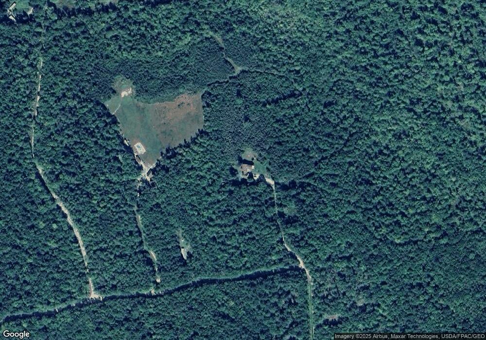
Map
Nearby Homes
- M19 L6-6 Tuell Hill Rd
- 1443 Main St
- 42 Front St
- 105 Arthur Allen Rd
- 729 Main St
- M-R22/L14 Greenwoods Rd
- 1 Hemlock Haven
- 20 Kittridge Brook Rd
- 74 & 77 Tuell Town Rd
- M13L18A-1 Redding Rd
- 174 Saunders Rd
- 120 Harbor Rd
- 70 Koskela Rd
- 66 Ridge Rd
- 133 Rosenberg Rd
- 27 Morse Hill Rd
- Lots 10&11 Davenport Rd
- 80-002-A Road Less Traveled Rd
- 71 Mountain View Dr
- Lot 56 S Main St
- 283 Heath Hill Rd
- 233 Heath Hill
- 426 Tuell Hill Rd
- 0 Tuell Hill Rd Unit 729940
- 0 Tuell Hill Rd Unit 728605
- 0 Tuell Hill Rd Unit 266410
- 0 Tuell Hill Rd Unit 729943
- 0 Tuell Hill Rd Unit 577471
- 0 Tuell Hill Rd Unit 1284513
- 462 Tuell Hill Rd
- 485 Tuell Hill Rd
- 165 Heath Hill Rd
- 465 Tuell Hill Rd
- 288 Tuell Hill Rd
- 229 Hood Valley Trail
- 229 Hood Valley Trail
- 494 Tuell Hill Rd
- 280 Tuell Hill Rd
- 190 Hood Valley Trail
- 519 Tuell Hill Rd