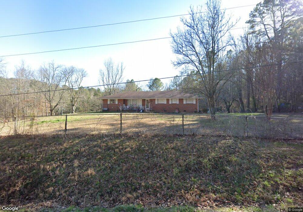
259 Robins Flight Ln Tunnel Hill, GA 30755
Tunnel Hill NeighborhoodEstimated Value: $197,278 - $237,000
--
Bed
2
Baths
1,412
Sq Ft
$156/Sq Ft
Est. Value
About This Home
This home is located at 259 Robins Flight Ln, Tunnel Hill, GA 30755 and is currently estimated at $219,820, approximately $155 per square foot. 259 Robins Flight Ln is a home located in Catoosa County with nearby schools including Tiger Creek Elementary School, Ringgold Middle School, and Ringgold High School.
Ownership History
Date
Name
Owned For
Owner Type
Purchase Details
Closed on
Mar 19, 2015
Sold by
Cipps Sharon
Bought by
Denham Selina and Cripps Sharon
Current Estimated Value
Purchase Details
Closed on
Sep 2, 1968
Sold by
Hawkins Hubert L And
Bought by
Hawkins Hubert L
Purchase Details
Closed on
Sep 1, 1968
Sold by
Hawkins Hubert L And
Bought by
Hawkins Hubert L And
Create a Home Valuation Report for This Property
The Home Valuation Report is an in-depth analysis detailing your home's value as well as a comparison with similar homes in the area
Home Values in the Area
Average Home Value in this Area
Purchase History
| Date | Buyer | Sale Price | Title Company |
|---|---|---|---|
| Denham Selina | -- | -- | |
| Hawkins Hubert L | -- | -- | |
| Hawkins Hubert L And | -- | -- |
Source: Public Records
Tax History Compared to Growth
Tax History
| Year | Tax Paid | Tax Assessment Tax Assessment Total Assessment is a certain percentage of the fair market value that is determined by local assessors to be the total taxable value of land and additions on the property. | Land | Improvement |
|---|---|---|---|---|
| 2024 | $1,464 | $68,649 | $7,169 | $61,480 |
| 2023 | $1,032 | $48,387 | $3,413 | $44,974 |
| 2022 | $862 | $38,495 | $3,250 | $35,245 |
| 2021 | $805 | $38,495 | $3,250 | $35,245 |
| 2020 | $760 | $32,842 | $3,096 | $29,746 |
| 2019 | $768 | $32,842 | $3,096 | $29,746 |
| 2018 | $776 | $31,416 | $2,617 | $28,799 |
| 2017 | $735 | $29,761 | $2,617 | $27,144 |
| 2016 | $716 | $27,565 | $2,617 | $24,948 |
| 2015 | -- | $27,565 | $2,617 | $24,948 |
| 2014 | -- | $29,274 | $4,326 | $24,948 |
| 2013 | -- | $29,274 | $4,326 | $24,948 |
Source: Public Records
Map
Nearby Homes
- 30 Ronnie Ln
- 315 Mirror Lake Rd
- 219 Lineman Way
- 12523 Highway 41
- 126 Marilyn Way
- 562 Gordy Cir
- 808 Gordy Cir
- 65 Henry Lee Ln
- 360 N Lakeshore Dr
- 301 Harper Valley Dr
- 219 Windbrook Dr
- 153 Lees Chapel Rd
- 0 Houston Valley Rd Unit 1398139
- 11759 Highway 41
- 0 Buttercup Ln
- 863 Bandy Ln
- 400 Crawford Terrace
- 401 Old Cottonwood Mill Rd
- 107 N Varnell Rd
- 203 S Cherry St
- 285 Robins Flight Ln
- 221 Robins Flight Ln
- 199 Robins Flight Ln
- 172 Robins Flight Ln
- 192 Goldnickel Ln
- 131 Goldnickel Ln
- 146 Robins Flight Ln
- 225 Robins Flight Ln
- 151 Robins Flight Ln
- 113 Goldnickel Ln
- 126 Goldnickel Ln
- 170 Goldnickel Ln
- 110 Robins Flight Ln
- 272 Goldnickel Ln
- 116 Goldnickel Ln
- 76 Robins Flight Ln
- 55 Goldnickel Ln
- 38 Griggs Rd
- 83 Griggs Rd
- 346 Dogwood Ln