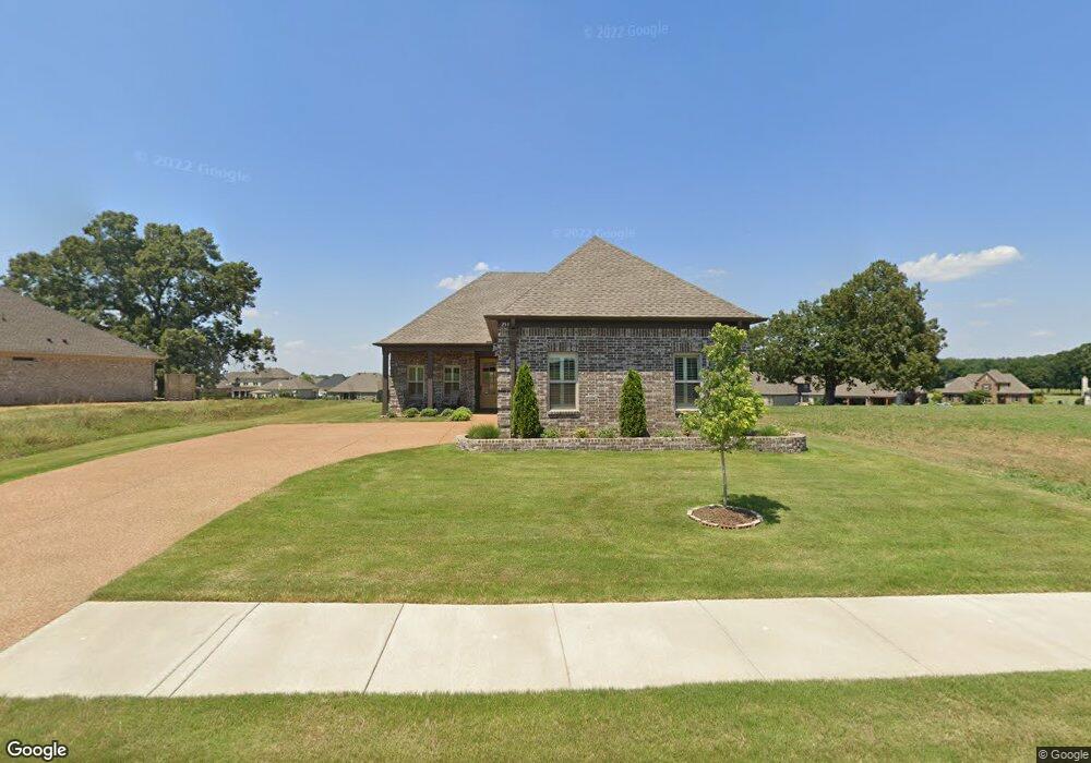
259 Saint Andrews Dr Oakland, TN 38060
Estimated Value: $344,394 - $382,000
--
Bed
--
Bath
1,918
Sq Ft
$189/Sq Ft
Est. Value
About This Home
This home is located at 259 Saint Andrews Dr, Oakland, TN 38060 and is currently estimated at $362,349, approximately $188 per square foot. 259 Saint Andrews Dr is a home with nearby schools including Oakland Elementary School, West Junior High School, and Fayette Ware Comprehensive High School.
Ownership History
Date
Name
Owned For
Owner Type
Purchase Details
Closed on
Dec 1, 2021
Sold by
Allbritton John
Bought by
Allbritton John Mark and Allbritton Rlt John Mark
Current Estimated Value
Purchase Details
Closed on
May 8, 2020
Sold by
Swan Development Group Llc
Bought by
Allbritton John
Home Financials for this Owner
Home Financials are based on the most recent Mortgage that was taken out on this home.
Original Mortgage
$271,900
Interest Rate
3.5%
Mortgage Type
Construction
Create a Home Valuation Report for This Property
The Home Valuation Report is an in-depth analysis detailing your home's value as well as a comparison with similar homes in the area
Home Values in the Area
Average Home Value in this Area
Purchase History
| Date | Buyer | Sale Price | Title Company |
|---|---|---|---|
| Allbritton John Mark | -- | None Available | |
| Allbritton John | $302,150 | Executive Ttl & Closing Inc |
Source: Public Records
Mortgage History
| Date | Status | Borrower | Loan Amount |
|---|---|---|---|
| Closed | Allbritton John | $271,900 |
Source: Public Records
Tax History Compared to Growth
Tax History
| Year | Tax Paid | Tax Assessment Tax Assessment Total Assessment is a certain percentage of the fair market value that is determined by local assessors to be the total taxable value of land and additions on the property. | Land | Improvement |
|---|---|---|---|---|
| 2024 | $1,924 | $74,500 | $10,000 | $64,500 |
| 2023 | $1,924 | $74,500 | $0 | $0 |
| 2022 | $1,276 | $74,500 | $10,000 | $64,500 |
| 2021 | $1,276 | $74,500 | $10,000 | $64,500 |
| 2020 | $113 | $74,500 | $10,000 | $64,500 |
| 2019 | $152 | $7,500 | $7,500 | $0 |
| 2018 | $157 | $7,500 | $7,500 | $0 |
| 2017 | $133 | $7,500 | $7,500 | $0 |
| 2016 | $214 | $11,250 | $11,250 | $0 |
| 2015 | $214 | $11,250 | $11,250 | $0 |
| 2014 | $214 | $11,250 | $11,250 | $0 |
Source: Public Records
Map
Nearby Homes
- 300 Saint Andrews Dr
- 290 Saint Andrews Dr
- 205 Saint Andrews Dr
- 325 Saint Andrews Dr
- Callahan Plan at Fair Oaks - Villas at Fair Oaks
- Clark Plan at Fair Oaks - Villas at Fair Oaks
- Gibson Plan at Fair Oaks - Villas at Fair Oaks
- 217 Saint Andrews Dr Unit 55-C
- 360 Saint Andrews Dr
- 175 Saint Andrews Dr
- 22 Doral Loop
- 235 Fairoaks Dr
- 75 Fairoaks Dr
- 000 Hwy 64
- 270 Oak St
- 160 Aberdeen Dr
- 15 Hughetta St
- 65 Birkdale Dr
- 200 Hughetta St S
- 205 Hughetta St S
- 255 Saint Andrews Dr
- 285 Saint Andrews Dr
- 237 Saint Andrews Dr
- 235 St Andrews Way
- 235 Saint Andrews Dr
- 250 Saint Andrews Dr
- 260 Saint Andrews Dr
- 235 St Andrews Dr
- 280 Saint Andrews Dr
- 219 Saint Andrews Dr
- 270 Saint Andrews Dr
- 217 St Andrews Way Unit 55-C
- 215 St Andrews Way
- 215 Saint Andrews Dr
- 217 Saint Andrews Dr
- 100 Doral Loop Unit Lot 8
- 100 Doral Loop
- 329 Saint Andrews Dr
- 310 Saint Andrews Dr
- 90 Doral Loop