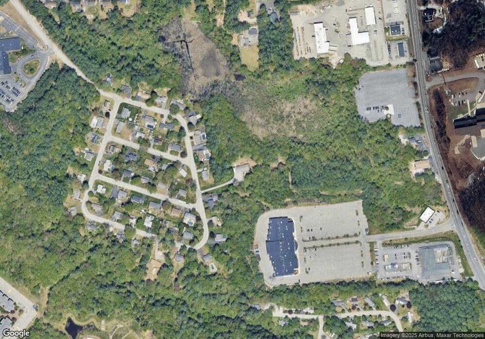
25A Sherwood Dr Hooksett, NH 03106
Estimated Value: $492,000 - $640,000
2
Beds
2
Baths
1,472
Sq Ft
$385/Sq Ft
Est. Value
About This Home
This home is located at 25A Sherwood Dr, Hooksett, NH 03106 and is currently estimated at $567,176, approximately $385 per square foot. 25A Sherwood Dr is a home located in Merrimack County with nearby schools including Fred C. Underhill School, Hooksett Memorial School, and David R. Cawley Middle School.
Create a Home Valuation Report for This Property
The Home Valuation Report is an in-depth analysis detailing your home's value as well as a comparison with similar homes in the area
Home Values in the Area
Average Home Value in this Area
Tax History Compared to Growth
Tax History
| Year | Tax Paid | Tax Assessment Tax Assessment Total Assessment is a certain percentage of the fair market value that is determined by local assessors to be the total taxable value of land and additions on the property. | Land | Improvement |
|---|---|---|---|---|
| 2024 | $8,867 | $522,800 | $171,000 | $351,800 |
| 2023 | $8,426 | $527,300 | $163,300 | $364,000 |
| 2022 | $7,544 | $313,700 | $111,900 | $201,800 |
| 2021 | $6,970 | $313,700 | $111,900 | $201,800 |
| 2020 | $7,201 | $313,700 | $111,900 | $201,800 |
| 2019 | $6,760 | $313,700 | $111,900 | $201,800 |
| 2018 | $4,617 | $313,700 | $111,900 | $201,800 |
| 2017 | $6,698 | $250,500 | $104,100 | $146,400 |
| 2016 | $6,611 | $250,500 | $104,100 | $146,400 |
| 2015 | $6,192 | $250,500 | $104,100 | $146,400 |
| 2014 | $6,220 | $250,500 | $104,100 | $146,400 |
| 2013 | -- | $250,500 | $104,100 | $146,400 |
Source: Public Records
Map
Nearby Homes
- 27 Martins Ferry Rd
- 45 Leonard Ave
- 286 Londonderry Turnpike Unit A
- 286B Londonderry Turnpike Unit A
- 136 Mammoth Rd Unit 628
- 128 Mammoth Rd Unit 122
- 126 Mammoth Rd Unit 1
- 22 Harmony Ln
- 7 Mulberry Ln
- 190 Chase Way
- 34 Lindsay Rd
- 18 Julia Dr
- 13 Johns Dr
- 6 Deerhead St
- 212 Kearney St
- 15 Johns Dr
- 5 Sunrise Blvd
- 29 Golden Gate Dr
- 117 Arthur Ave
- 755 Straw Hill Rd