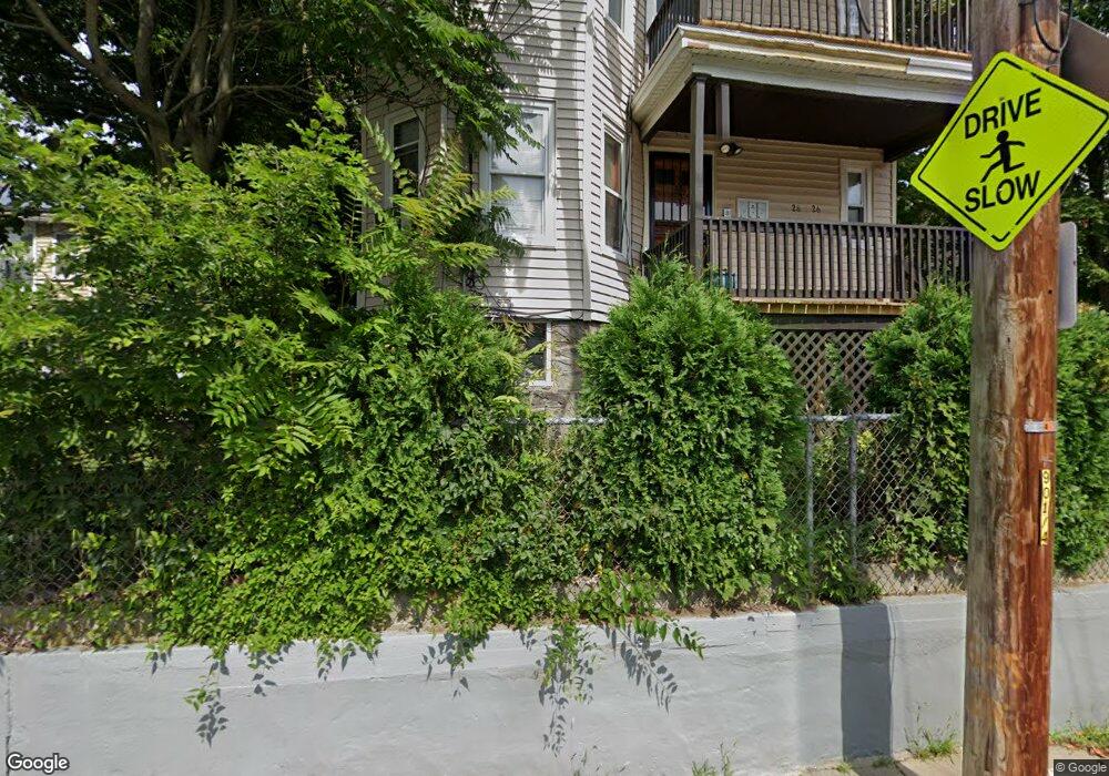
26 Faunce Rd Mattapan, MA 02126
Southern Mattapan NeighborhoodEstimated Value: $1,002,000 - $1,153,000
9
Beds
3
Baths
3,534
Sq Ft
$305/Sq Ft
Est. Value
About This Home
This home is located at 26 Faunce Rd, Mattapan, MA 02126 and is currently estimated at $1,076,667, approximately $304 per square foot. 26 Faunce Rd is a home located in Suffolk County with nearby schools including KIPP Academy Boston Charter School and Berea Seventh-day Adventist Academy.
Ownership History
Date
Name
Owned For
Owner Type
Purchase Details
Closed on
Jul 29, 1994
Sold by
Perea Campo E
Bought by
Howard Bernestine
Current Estimated Value
Home Financials for this Owner
Home Financials are based on the most recent Mortgage that was taken out on this home.
Original Mortgage
$99,750
Interest Rate
8.25%
Mortgage Type
Purchase Money Mortgage
Create a Home Valuation Report for This Property
The Home Valuation Report is an in-depth analysis detailing your home's value as well as a comparison with similar homes in the area
Home Values in the Area
Average Home Value in this Area
Purchase History
| Date | Buyer | Sale Price | Title Company |
|---|---|---|---|
| Howard Bernestine | $133,000 | -- | |
| Howard Bernestine | $133,000 | -- |
Source: Public Records
Mortgage History
| Date | Status | Borrower | Loan Amount |
|---|---|---|---|
| Open | Howard Bernestine | $29,900 | |
| Closed | Howard Bernestine | $99,750 | |
| Previous Owner | Howard Bernestine | $18,600 |
Source: Public Records
Tax History Compared to Growth
Tax History
| Year | Tax Paid | Tax Assessment Tax Assessment Total Assessment is a certain percentage of the fair market value that is determined by local assessors to be the total taxable value of land and additions on the property. | Land | Improvement |
|---|---|---|---|---|
| 2025 | $10,454 | $902,800 | $236,900 | $665,900 |
| 2024 | $9,243 | $848,000 | $245,900 | $602,100 |
| 2023 | $8,843 | $823,400 | $238,800 | $584,600 |
| 2022 | $8,528 | $783,800 | $227,300 | $556,500 |
| 2021 | $7,965 | $746,500 | $216,500 | $530,000 |
| 2020 | $6,815 | $645,400 | $228,800 | $416,600 |
| 2019 | $6,185 | $586,800 | $162,300 | $424,500 |
| 2018 | $5,493 | $524,100 | $162,300 | $361,800 |
| 2017 | $5,187 | $489,800 | $162,300 | $327,500 |
| 2016 | $5,035 | $457,700 | $162,300 | $295,400 |
| 2015 | $4,717 | $389,500 | $135,500 | $254,000 |
| 2014 | $4,375 | $347,800 | $135,500 | $212,300 |
Source: Public Records
Map
Nearby Homes
- 24 Constitution Rd
- 4 Crossman St Unit 4
- 11 French St
- 10 Briarcliff Terrace
- 32 Violet St
- 1465 Blue Hill Ave
- 95 Woodhaven St
- 157 Delhi St
- 12 Hiawatha Rd
- 567B Norfolk St
- 10 Brockton St
- 710 Walk Hill St
- 770 Cummins Hwy Unit 1
- 770 Cummins Hwy Unit 22
- 48-50 Rockdale St
- 45 1st Ave Unit 111
- 20 Monterey Ave
- 25 Fessenden St
- 23 Fessenden St
- 116 Almont St
- 22 Faunce Rd
- 34 Faunce Rd
- 27 Cookson Terrace
- 23 Cookson Terrace
- 33 Faunce Rd Unit 35
- 20 Faunce Rd
- 37 Faunce Rd
- 27 Faunce Rd
- 21 Cookson Terrace
- 26 Merola Park
- 23 Faunce Rd Unit 25
- 2 Hopkins Place
- 44 Faunce Rd
- 47 Cookson Terrace Unit 49
- 17 Cookson Terrace
- 17 Faunce Rd Unit 19
- 22 Merola Park
- 17-19 Faunce Rd
- 52 Faunce Rd Unit 2
- 27 Merola Park