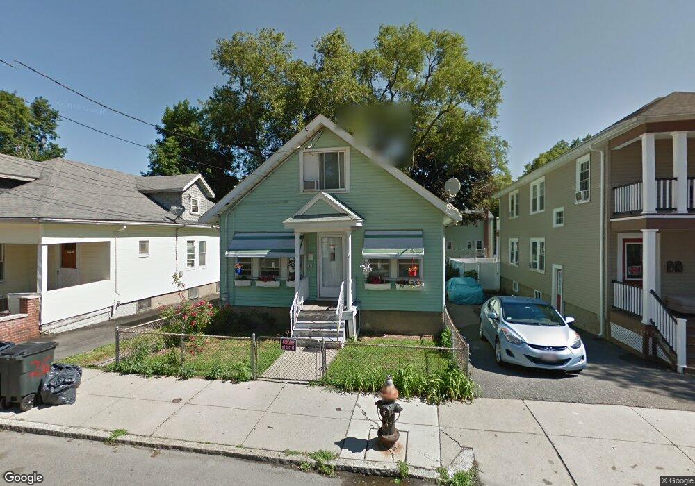
26 Granfield Ave Roslindale, MA 02131
Roslindale NeighborhoodEstimated Value: $684,000 - $706,136
6
Beds
1
Bath
1,400
Sq Ft
$500/Sq Ft
Est. Value
About This Home
This home is located at 26 Granfield Ave, Roslindale, MA 02131 and is currently estimated at $699,534, approximately $499 per square foot. 26 Granfield Ave is a home located in Suffolk County with nearby schools including Brooke Charter School Roslindale, The Croft School - Jamaica Plain, and Sacred Heart STEM School.
Ownership History
Date
Name
Owned For
Owner Type
Purchase Details
Closed on
Aug 2, 1999
Sold by
Malave Norma I and Mejia Tony G
Bought by
Rodriguez Henry and Rodriguez Helen M
Current Estimated Value
Purchase Details
Closed on
Dec 1, 1993
Sold by
Macqueen William O and Porazinski Jean K
Bought by
Malave Norma I and Mejia Tony G
Create a Home Valuation Report for This Property
The Home Valuation Report is an in-depth analysis detailing your home's value as well as a comparison with similar homes in the area
Home Values in the Area
Average Home Value in this Area
Purchase History
| Date | Buyer | Sale Price | Title Company |
|---|---|---|---|
| Rodriguez Henry | $160,000 | -- | |
| Malave Norma I | $78,000 | -- |
Source: Public Records
Mortgage History
| Date | Status | Borrower | Loan Amount |
|---|---|---|---|
| Open | Malave Norma I | $268,972 | |
| Closed | Malave Norma I | $228,710 | |
| Closed | Malave Norma I | $204,000 |
Source: Public Records
Tax History Compared to Growth
Tax History
| Year | Tax Paid | Tax Assessment Tax Assessment Total Assessment is a certain percentage of the fair market value that is determined by local assessors to be the total taxable value of land and additions on the property. | Land | Improvement |
|---|---|---|---|---|
| 2025 | $6,863 | $592,700 | $191,200 | $401,500 |
| 2024 | $5,937 | $544,700 | $190,400 | $354,300 |
| 2023 | $5,519 | $513,900 | $179,600 | $334,300 |
| 2022 | $5,227 | $480,400 | $167,900 | $312,500 |
| 2021 | $4,976 | $466,400 | $163,000 | $303,400 |
| 2020 | $3,980 | $376,900 | $146,500 | $230,400 |
| 2019 | $3,784 | $359,000 | $126,600 | $232,400 |
| 2018 | $3,516 | $335,500 | $126,600 | $208,900 |
| 2017 | $3,450 | $325,800 | $126,600 | $199,200 |
| 2016 | $3,584 | $325,800 | $126,600 | $199,200 |
| 2015 | $3,397 | $280,500 | $97,700 | $182,800 |
| 2014 | $3,265 | $259,500 | $97,700 | $161,800 |
Source: Public Records
Map
Nearby Homes
- 4031 Washington St
- 620 South St
- 173 Brookway Rd
- 39 Harrison St Unit B
- 25 Harrison St Unit C
- 21 Bexley Rd
- 375 Hyde Park Ave Unit 3
- 108 Florence St Unit 3
- 108 Florence St Unit 1
- 108 Florence St Unit 2
- 391 Hyde Park Ave Unit 112
- 12 Wyvern St Unit 2
- 18-20 Northbourne Rd Unit 18
- 5 Eldridge Rd Unit 3
- 46 Southbourne Rd
- 20 Taft Hill Park Unit 5
- 36 Neponset Ave Unit 1
- 35 Eldridge Rd Unit 209
- 67 Cummins Hwy Unit 101
- 158 Wachusett St Unit 3
- 28 Granfield Ave
- 30 Granfield Ave
- 22 Granfield Ave
- 31 Fawndale Rd
- 35 Fawndale Rd
- 27 Fawndale Rd
- 27 Fawndale Rd Unit 2
- 39 Fawndale Rd
- 20 Granfield Ave Unit 3
- 20 Granfield Ave Unit 1
- 20 Granfield Ave
- 32 Granfield Ave
- 31 Granfield Ave
- 29 Granfield Ave
- 33 Granfield Ave
- 23 Fawndale Rd
- 43 Fawndale Rd
- 35 Granfield Ave
- 34 Granfield Ave
- 34 Granfield Ave Unit 2