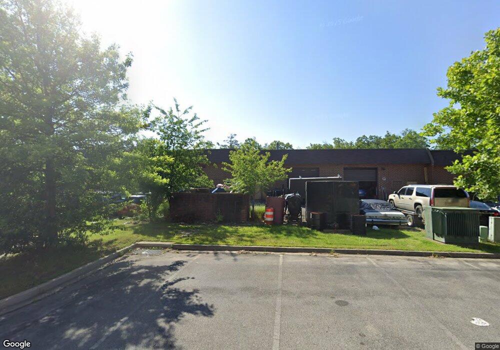
26 Industrial Park Dr Waldorf, MD 20602
Estimated Value: $1,856,041
--
Bed
--
Bath
16,656
Sq Ft
$111/Sq Ft
Est. Value
About This Home
This home is located at 26 Industrial Park Dr, Waldorf, MD 20602 and is currently estimated at $1,856,041, approximately $111 per square foot. 26 Industrial Park Dr is a home located in Charles County with nearby schools including Dr. Samuel A. Mudd Elementary School, John Hanson Middle School, and Thomas Stone High School.
Ownership History
Date
Name
Owned For
Owner Type
Purchase Details
Closed on
Dec 12, 2012
Sold by
26 Industrial Park Dr Llc
Bought by
Hilltop Holdings Llc
Current Estimated Value
Home Financials for this Owner
Home Financials are based on the most recent Mortgage that was taken out on this home.
Original Mortgage
$776,000
Outstanding Balance
$537,894
Interest Rate
3.38%
Mortgage Type
Commercial
Estimated Equity
$1,318,147
Purchase Details
Closed on
Dec 20, 2006
Sold by
Simpson Barbara L
Bought by
26 Industrial Park Drive Llc
Purchase Details
Closed on
Nov 22, 2006
Sold by
Simpson Barbara L
Bought by
26 Industrial Park Drive Llc
Purchase Details
Closed on
Jan 7, 2003
Sold by
Simpson James C and Simpson Barbara L
Bought by
Simpson Barbara L
Create a Home Valuation Report for This Property
The Home Valuation Report is an in-depth analysis detailing your home's value as well as a comparison with similar homes in the area
Home Values in the Area
Average Home Value in this Area
Purchase History
| Date | Buyer | Sale Price | Title Company |
|---|---|---|---|
| Hilltop Holdings Llc | $970,000 | Foote Title Group | |
| 26 Industrial Park Drive Llc | -- | -- | |
| 26 Industrial Park Drive Llc | -- | -- | |
| Simpson Barbara L | -- | -- |
Source: Public Records
Mortgage History
| Date | Status | Borrower | Loan Amount |
|---|---|---|---|
| Open | Hilltop Holdings Llc | $776,000 |
Source: Public Records
Tax History Compared to Growth
Tax History
| Year | Tax Paid | Tax Assessment Tax Assessment Total Assessment is a certain percentage of the fair market value that is determined by local assessors to be the total taxable value of land and additions on the property. | Land | Improvement |
|---|---|---|---|---|
| 2025 | $54,203 | $2,003,900 | $430,800 | $1,573,100 |
| 2024 | $27,168 | $2,038,400 | $430,800 | $1,607,600 |
| 2023 | $27,616 | $1,932,533 | $0 | $0 |
| 2022 | $24,328 | $1,826,667 | $0 | $0 |
| 2021 | $22,336 | $1,720,800 | $430,800 | $1,290,000 |
| 2020 | $22,336 | $1,675,767 | $0 | $0 |
| 2019 | $21,745 | $1,630,733 | $0 | $0 |
| 2018 | $21,080 | $1,585,700 | $430,800 | $1,154,900 |
| 2017 | $21,064 | $1,585,700 | $0 | $0 |
| 2016 | -- | $1,585,700 | $0 | $0 |
| 2015 | $13,602 | $1,601,300 | $0 | $0 |
| 2014 | $13,602 | $1,450,167 | $0 | $0 |
Source: Public Records
Map
Nearby Homes
- 3298 Old Washington Rd
- 0 Leonardtown Rd Unit MDCH2048068
- 3 Henry Ford Cir
- 801 Roxbury Ct
- 11960 Motley Place
- 3071 Donegal Ct
- 314 Rivermont Dr
- 717 Barrington Dr
- 3864 Kelly Green Place
- 3081 Dorsey Ct
- 11814 Oak Manor Dr
- 302 Barksdale Ave
- 3283 Ryon Ct
- 0 Smallwood Dr Unit MDCH2031694
- 3809 Light Arms Place
- 3893 Light Arms Place
- 3205 High Timber Ct
- 3839 Kearnys Inn Place
- 3729 Kempsford Field Place
- 11800 Railroad Place
- 24 Industrial Park Dr
- 24 Industrial Park Dr Unit D
- 24 Industrial Park Dr Unit A
- 24 Industrial Park Dr Unit 3
- 24 Industrial Park Dr Unit 1
- 28 Industrial Park Dr Unit M
- 28 Industrial Park Dr Unit J
- 28 Industrial Park Dr
- 28 Industrial Park Dr Unit H
- 28 Industrial Park Dr Unit L J I H
- 12 Rockefeller Ct
- 21 Industrial Park Dr Unit 201
- 21 Industrial Park Dr Unit 204H
- 21 Industrial Park Dr Unit 104D
- 22 Industrial Park Dr
- 3480 Rockefeller Ct Unit I-J
- 3480 Rockefeller Ct Unit F-H
- 3480 Rockefeller Ct Unit F-J
- 3480 Rockefeller Ct Unit C
- 3480 Rockefeller Ct Unit D