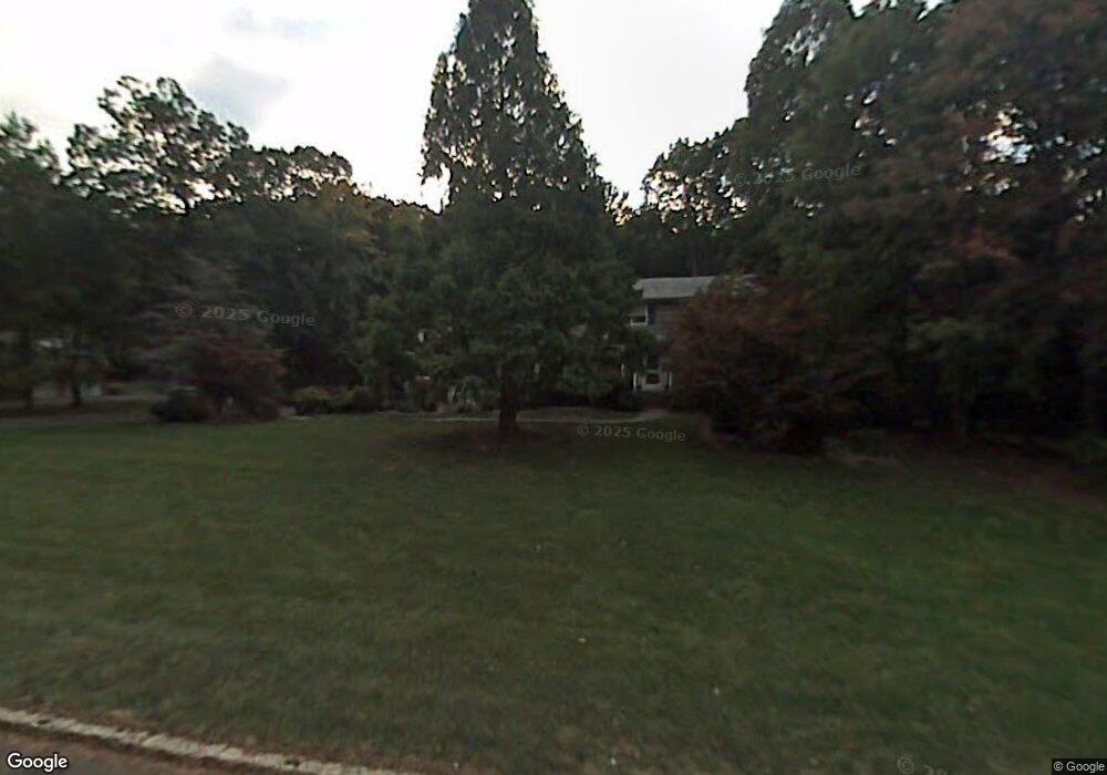
26 Lenape Trail Warren, NJ 07059
Estimated Value: $948,000 - $1,004,608
--
Bed
--
Bath
2,524
Sq Ft
$388/Sq Ft
Est. Value
About This Home
This home is located at 26 Lenape Trail, Warren, NJ 07059 and is currently estimated at $978,402, approximately $387 per square foot. 26 Lenape Trail is a home located in Somerset County with nearby schools including Angelo L. Tomaso School, Warren Middle School, and Watchung Hills Regional High School.
Ownership History
Date
Name
Owned For
Owner Type
Purchase Details
Closed on
Mar 1, 2022
Sold by
Diorio Raymond J and Diorio Karen M
Bought by
Sweeney Liam and Logiudice Molly
Current Estimated Value
Home Financials for this Owner
Home Financials are based on the most recent Mortgage that was taken out on this home.
Original Mortgage
$647,200
Outstanding Balance
$602,117
Interest Rate
3.55%
Mortgage Type
New Conventional
Estimated Equity
$376,285
Purchase Details
Closed on
Dec 19, 1997
Sold by
Mccusker James
Bought by
Diorio Raymond and Diorio Karen
Create a Home Valuation Report for This Property
The Home Valuation Report is an in-depth analysis detailing your home's value as well as a comparison with similar homes in the area
Home Values in the Area
Average Home Value in this Area
Purchase History
| Date | Buyer | Sale Price | Title Company |
|---|---|---|---|
| Sweeney Liam | $810,000 | Land Title Services | |
| Diorio Raymond | $355,000 | -- |
Source: Public Records
Mortgage History
| Date | Status | Borrower | Loan Amount |
|---|---|---|---|
| Open | Sweeney Liam | $647,200 |
Source: Public Records
Tax History Compared to Growth
Tax History
| Year | Tax Paid | Tax Assessment Tax Assessment Total Assessment is a certain percentage of the fair market value that is determined by local assessors to be the total taxable value of land and additions on the property. | Land | Improvement |
|---|---|---|---|---|
| 2025 | $14,031 | $828,600 | $389,700 | $438,900 |
| 2024 | $14,031 | $763,400 | $353,600 | $409,800 |
| 2023 | $13,835 | $713,900 | $330,500 | $383,400 |
| 2022 | $12,908 | $649,600 | $314,700 | $334,900 |
| 2021 | $12,728 | $613,100 | $302,600 | $310,500 |
| 2020 | $12,925 | $624,400 | $315,900 | $308,500 |
| 2019 | $12,941 | $635,000 | $322,300 | $312,700 |
| 2018 | $12,393 | $623,700 | $309,800 | $313,900 |
| 2017 | $12,188 | $613,100 | $289,500 | $323,600 |
| 2016 | $12,122 | $603,400 | $289,500 | $313,900 |
| 2015 | $12,012 | $586,500 | $275,800 | $310,700 |
| 2014 | $11,599 | $569,400 | $275,800 | $293,600 |
Source: Public Records
Map
Nearby Homes
- 57 Christy Dr
- 61 Christy Dr
- 6 Mount Horeb Rd
- 2111 Washington Valley Rd
- 2105 Washington Valley Rd
- 2044 Washington Valley Rd
- 1899 Washington Valley Rd
- 10 Assante Ln
- 2138 Washington Valley Rd
- 1869 Washington Valley Rd
- 1831 Washington Valley Rd
- 112 Loft Dr Unit II112
- 24 Old Forge Dr
- 6 Hardwood Ct
- 33 Skyline Dr
- 5 Bittle Ct
- 64 Sneider Rd
- 59 Ferguson Rd
- 1024 Mayflower Ct
- 21 Angus Ln
- 24 Lenape Trail
- 27 Lenape Trail
- 29 Lenape Trail
- 22 Lenape Trail
- 25 Lenape Trail
- 31 Lenape Trail
- 117 Smoke Rise Dr
- 115 Smoke Rise Dr
- 20 Lenape Trail
- 23 Lenape Trail
- 121 Smoke Rise Dr
- 113 Smoke Rise Dr
- 21 Lenape Trail
- 123 Smoke Rise Dr
- 116 Smoke Rise Dr
- 118 Smoke Rise Dr
- 6 Old Farm Rd
- 109 Smoke Rise Dr
- 4 Old Farm Rd
- 114 Smoke Rise Dr