26 Smoke Ridge Dr Sherman, CT 06784
Estimated Value: $579,000 - $669,702
3
Beds
3
Baths
1,978
Sq Ft
$323/Sq Ft
Est. Value
About This Home
This home is located at 26 Smoke Ridge Dr, Sherman, CT 06784 and is currently estimated at $637,926, approximately $322 per square foot. 26 Smoke Ridge Dr is a home located in Fairfield County with nearby schools including Sherman School.
Ownership History
Date
Name
Owned For
Owner Type
Purchase Details
Closed on
Apr 19, 2013
Sold by
Clark Deborah E
Bought by
Clark Deborah E and Clark Nicholas
Current Estimated Value
Home Financials for this Owner
Home Financials are based on the most recent Mortgage that was taken out on this home.
Original Mortgage
$145,600
Interest Rate
3.52%
Create a Home Valuation Report for This Property
The Home Valuation Report is an in-depth analysis detailing your home's value as well as a comparison with similar homes in the area
Home Values in the Area
Average Home Value in this Area
Purchase History
| Date | Buyer | Sale Price | Title Company |
|---|---|---|---|
| Clark Deborah E | -- | -- |
Source: Public Records
Mortgage History
| Date | Status | Borrower | Loan Amount |
|---|---|---|---|
| Open | Clark Deborah E | $199,000 | |
| Closed | Clark Deborah E | $145,600 | |
| Previous Owner | Clark Deborah E | $185,000 | |
| Previous Owner | Clark Deborah E | $180,000 |
Source: Public Records
Tax History Compared to Growth
Tax History
| Year | Tax Paid | Tax Assessment Tax Assessment Total Assessment is a certain percentage of the fair market value that is determined by local assessors to be the total taxable value of land and additions on the property. | Land | Improvement |
|---|---|---|---|---|
| 2025 | $5,556 | $333,300 | $87,100 | $246,200 |
| 2024 | $5,453 | $333,300 | $87,100 | $246,200 |
| 2023 | $5,939 | $333,300 | $87,100 | $246,200 |
| 2022 | $6,059 | $333,300 | $87,100 | $246,200 |
| 2021 | $10,734 | $333,300 | $87,100 | $246,200 |
| 2020 | $6,369 | $333,300 | $87,100 | $246,200 |
| 2019 | $6,603 | $333,300 | $87,100 | $246,200 |
| 2018 | $5,920 | $291,200 | $87,100 | $204,100 |
| 2017 | $5,922 | $291,300 | $87,200 | $204,100 |
| 2016 | $5,920 | $291,200 | $87,150 | $204,050 |
| 2015 | $5,836 | $291,200 | $87,150 | $204,050 |
| 2014 | $5,777 | $291,200 | $87,150 | $204,050 |
Source: Public Records
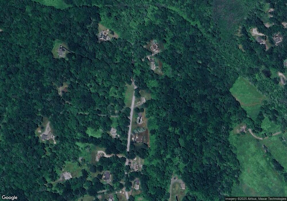
Map
Nearby Homes
- 1 Cloverleaf Farm S
- 55 Colonial Ridge Dr
- 1 Hoyt Rd
- 00 Anderson Rd
- 41 Long River Rd
- 42 Long River Rd
- 60 Long River Rd
- 16 Gaylord Rd
- 685 Kent Rd
- 73 Long River Rd
- 696 Kent Rd
- 48 Gaylord Rd
- 43 Gaylord Rd
- 48 Cedar Hill Rd
- 49 Quaker Ridge Rd
- 31 Cedar Hill Rd
- 27 Meadowland Dr
- 612 Kent Rd
- 107 Church Rd
- 34 Front of the Mountain Rd
- 24 Smoke Ridge Dr
- 30 Smoke Ridge Dr
- 2 Route 55 W
- 22 Smoke Ridge Dr
- 25 Smoke Ridge Dr
- 31 Smoke Ridge Dr
- 34 Smoke Ridge Dr
- 33 Smoke Ridge Dr
- 20 Smoke Ridge Dr
- 23 Smoke Ridge Dr
- 32 Smoke Ridge Dr
- 22 Route 55 W
- 22 Anderson Rd E
- 18 Smoke Ridge Dr
- 21 Smoke Ridge Dr
- 29 Route 55 W
- 29 Route 55 W Unit B
- 12 Smoke Ridge Dr
- 20 Anderson Rd E
- 16 Smoke Ridge Dr