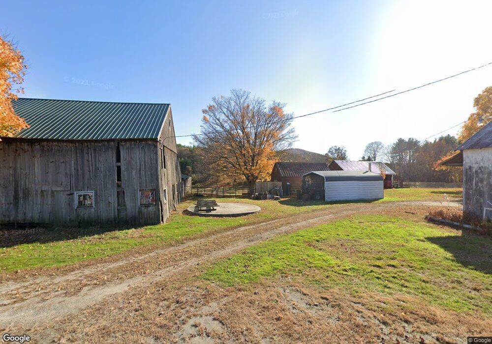
26 Sunderland Rd Montague, MA 01351
Estimated Value: $387,000 - $677,890
5
Beds
1
Bath
2,968
Sq Ft
$192/Sq Ft
Est. Value
About This Home
This home is located at 26 Sunderland Rd, Montague, MA 01351 and is currently estimated at $569,973, approximately $192 per square foot. 26 Sunderland Rd is a home located in Franklin County.
Ownership History
Date
Name
Owned For
Owner Type
Purchase Details
Closed on
Jan 14, 2015
Sold by
Podlenski Richard G
Bought by
Podlenski Richard S
Current Estimated Value
Purchase Details
Closed on
Nov 20, 2009
Sold by
Podlenski Richard S and Podlenski Tollen A
Bought by
Podlenski Richard S
Purchase Details
Closed on
Jan 18, 2008
Sold by
Podlenski Richard G
Bought by
Podlenski Richard S and Podlenski Tollen A
Purchase Details
Closed on
Jun 20, 2007
Sold by
Podlenski Frederick H and Podlenski Stanley J
Bought by
Podlenski Richard G
Create a Home Valuation Report for This Property
The Home Valuation Report is an in-depth analysis detailing your home's value as well as a comparison with similar homes in the area
Home Values in the Area
Average Home Value in this Area
Purchase History
| Date | Buyer | Sale Price | Title Company |
|---|---|---|---|
| Podlenski Richard S | -- | -- | |
| Podlenski Richard S | -- | -- | |
| Podlenski Richard S | -- | -- | |
| Podlenski Richard S | -- | -- | |
| Podlenski Richard S | -- | -- | |
| Podlenski Richard S | -- | -- | |
| Podlenski Richard S | -- | -- | |
| Podlenski Richard G | $184,000 | -- | |
| Podlenski Richard G | $184,000 | -- |
Source: Public Records
Tax History Compared to Growth
Tax History
| Year | Tax Paid | Tax Assessment Tax Assessment Total Assessment is a certain percentage of the fair market value that is determined by local assessors to be the total taxable value of land and additions on the property. | Land | Improvement |
|---|---|---|---|---|
| 2025 | $7,127 | $468,600 | $244,000 | $224,600 |
| 2024 | $6,982 | $444,700 | $244,000 | $200,700 |
| 2023 | $6,877 | $439,400 | $244,000 | $195,400 |
| 2022 | $6,851 | $408,800 | $244,000 | $164,800 |
| 2021 | $0 | $387,400 | $230,000 | $157,400 |
| 2020 | $1,572 | $379,300 | $230,000 | $149,300 |
| 2019 | $0 | $364,700 | $221,000 | $143,700 |
| 2018 | $0 | $371,300 | $221,000 | $150,300 |
| 2017 | $0 | $371,300 | $221,000 | $150,300 |
| 2016 | $6,547 | $298,400 | $180,800 | $117,600 |
| 2015 | $6,547 | $336,300 | $180,800 | $155,500 |
| 2014 | $6,547 | $336,300 | $180,800 | $155,500 |
Source: Public Records
Map
Nearby Homes
- 2 Gunn Rd
- 2 Gunn Rd
- 35 A N Leverett Rd
- 495 Federal St Unit B
- 39 N Leverett Rd
- 64 Main St
- 132 Meadow Rd
- 10 Hannabrooke Dr
- 134 Montague Rd
- 0 Pocumtuck Dr Unit 73379330
- 7 Stage Rd
- 238 N Main St
- 259 Long Plain Rd
- 0 Dudleyville Rd
- 345 Greenfield Rd
- 208 Greenfield Rd
- 13 Capt Lathrop Dr
- 55 Putney Rd
- 40 Eastern Ave
- 15 Crestview Dr