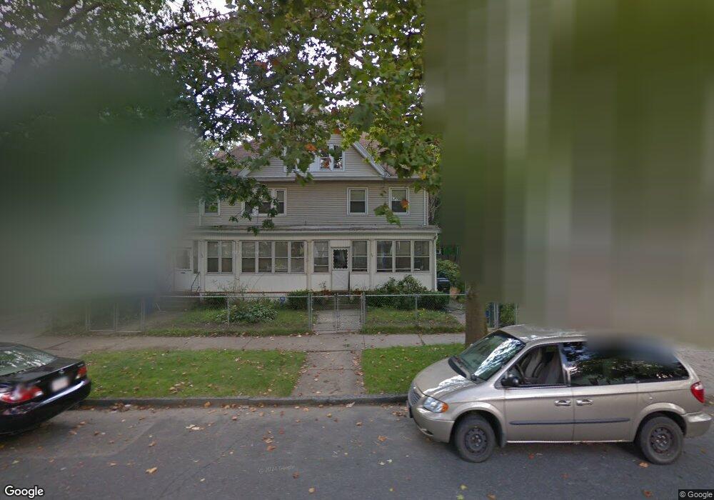
26 Westford Ave Unit 28 Springfield, MA 01109
Upper Hill NeighborhoodEstimated Value: $354,710 - $467,000
9
Beds
4
Baths
4,184
Sq Ft
$97/Sq Ft
Est. Value
About This Home
This home is located at 26 Westford Ave Unit 28, Springfield, MA 01109 and is currently estimated at $404,428, approximately $96 per square foot. 26 Westford Ave Unit 28 is a home located in Hampden County with nearby schools including Mary M. Walsh Elementary School, M Marcus Kiley Middle, and Springfield High School of Science and Technology.
Ownership History
Date
Name
Owned For
Owner Type
Purchase Details
Closed on
May 12, 2022
Sold by
Chaires Donald W and Chaires Edna A
Bought by
Chaires Edna A and Chaires Donald W
Current Estimated Value
Purchase Details
Closed on
Apr 28, 1983
Bought by
Chaires Donald W and Chaires Edna A
Create a Home Valuation Report for This Property
The Home Valuation Report is an in-depth analysis detailing your home's value as well as a comparison with similar homes in the area
Home Values in the Area
Average Home Value in this Area
Purchase History
| Date | Buyer | Sale Price | Title Company |
|---|---|---|---|
| Chaires Edna A | -- | None Available | |
| Chaires Donald W | -- | -- |
Source: Public Records
Tax History Compared to Growth
Tax History
| Year | Tax Paid | Tax Assessment Tax Assessment Total Assessment is a certain percentage of the fair market value that is determined by local assessors to be the total taxable value of land and additions on the property. | Land | Improvement |
|---|---|---|---|---|
| 2025 | $3,962 | $252,700 | $31,300 | $221,400 |
| 2024 | $3,451 | $214,900 | $31,300 | $183,600 |
| 2023 | $3,134 | $183,800 | $28,500 | $155,300 |
| 2022 | $3,275 | $174,000 | $26,600 | $147,400 |
| 2021 | $3,230 | $170,900 | $18,900 | $152,000 |
| 2020 | $3,379 | $173,000 | $18,900 | $154,100 |
| 2019 | $3,253 | $165,300 | $16,100 | $149,200 |
| 2018 | $3,314 | $168,400 | $16,100 | $152,300 |
| 2017 | $3,144 | $159,900 | $15,100 | $144,800 |
| 2016 | $2,888 | $146,900 | $15,100 | $131,800 |
| 2015 | $2,687 | $136,600 | $15,100 | $121,500 |
Source: Public Records
Map
Nearby Homes
- 19 Westford Ave
- 88 Dunmoreland St
- 140 Northampton Ave
- 52-56 Andrew St
- 290 Quincy St
- 65 Montrose St
- 21 Westford Cir
- 162 Northampton Ave
- 81 Hayden Ave
- 129 Eastern Ave
- 124-126 Westford Cir
- 179 Albemarle St
- 15 Kenyon St
- 58 Willard Ave
- 705-707 Union St
- 93 Dawes St
- 62-64 Bristol St
- 43 Colonial Ave
- 135-137 Suffolk St
- 90 Cambridge St
- 32 Westford Ave
- 20 Westford Ave
- 20 Westford Ave
- 31 Northampton Ave
- 14 Westford Ave
- 38 Westford Ave
- 19 Northampton Ave
- 13 Northampton Ave
- 25 Westford Ave
- 44 Westford Ave
- 37 Northampton Ave
- 31 Westford Ave
- 121 Wilbraham Rd
- 121 Wilbraham Rd Unit 2
- 125 Wilbraham Rd
- 43 Northampton Ave
- 39 Westford Ave
- 15 Westford Ave
- 50 Westford Ave
- 43 Westford Ave