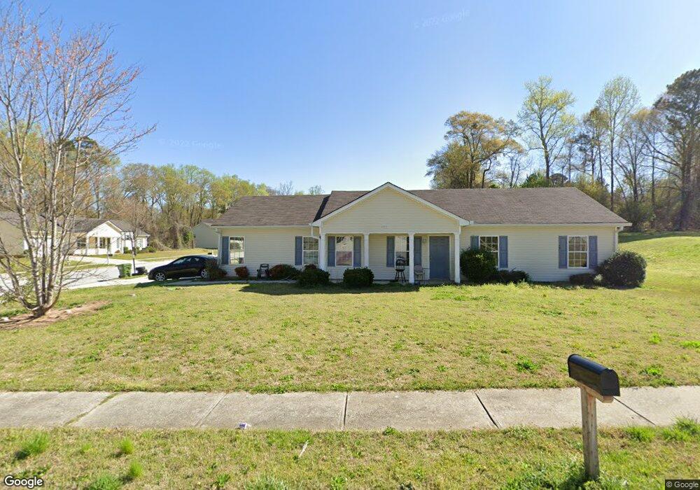
260 Bridgeport Ln Monroe, GA 30655
Estimated Value: $257,000 - $281,023
3
Beds
2
Baths
1,316
Sq Ft
$207/Sq Ft
Est. Value
About This Home
This home is located at 260 Bridgeport Ln, Monroe, GA 30655 and is currently estimated at $272,006, approximately $206 per square foot. 260 Bridgeport Ln is a home located in Walton County with nearby schools including Atha Road Elementary School, Youth Middle School, and Walnut Grove High School.
Ownership History
Date
Name
Owned For
Owner Type
Purchase Details
Closed on
Apr 6, 2010
Sold by
Mintz Nyoka A
Bought by
Todd Thomas and Todd Tammy
Current Estimated Value
Purchase Details
Closed on
Dec 31, 2008
Sold by
Home Management Group Llc
Bought by
Mintz Nyoka A
Purchase Details
Closed on
Mar 23, 2006
Sold by
Lasch Llc
Bought by
Mintz Nyoka A
Home Financials for this Owner
Home Financials are based on the most recent Mortgage that was taken out on this home.
Original Mortgage
$108,400
Interest Rate
6.23%
Create a Home Valuation Report for This Property
The Home Valuation Report is an in-depth analysis detailing your home's value as well as a comparison with similar homes in the area
Home Values in the Area
Average Home Value in this Area
Purchase History
| Date | Buyer | Sale Price | Title Company |
|---|---|---|---|
| Todd Thomas | $40,000 | -- | |
| Mintz Nyoka A | -- | -- | |
| Mintz Nyoka A | $38,000 | -- |
Source: Public Records
Mortgage History
| Date | Status | Borrower | Loan Amount |
|---|---|---|---|
| Previous Owner | Mintz Nyoka A | $108,400 |
Source: Public Records
Tax History Compared to Growth
Tax History
| Year | Tax Paid | Tax Assessment Tax Assessment Total Assessment is a certain percentage of the fair market value that is determined by local assessors to be the total taxable value of land and additions on the property. | Land | Improvement |
|---|---|---|---|---|
| 2024 | $3,419 | $100,440 | $20,000 | $80,440 |
| 2023 | $3,340 | $95,520 | $18,000 | $77,520 |
| 2022 | $3,070 | $82,200 | $15,200 | $67,000 |
| 2021 | $2,251 | $58,240 | $10,400 | $47,840 |
| 2020 | $2,039 | $51,400 | $10,400 | $41,000 |
| 2019 | $1,804 | $43,280 | $8,000 | $35,280 |
| 2018 | $1,704 | $43,280 | $8,000 | $35,280 |
| 2017 | $1,556 | $37,120 | $6,000 | $31,120 |
| 2016 | $521 | $12,640 | $4,000 | $8,640 |
| 2015 | $832 | $19,840 | $4,000 | $15,840 |
| 2014 | -- | $16,040 | $4,000 | $12,040 |
Source: Public Records
Map
Nearby Homes
- 430 Bridgeport Place
- 545 Bridgeport Place
- 143 W 5th St
- 206 Walker Dr
- 808 S Broad St
- 413 Shamrock Dr
- 132 Victory Dr
- 521 Mill Farn Ln
- 417 Shamrock Dr
- 521 Mill Farm Ln
- 416 Shamrock Dr
- 500 Mill Farm Ln
- 1038 S Madison Ave
- 709 S Madison Ave
- 208 1/2 Atha St
- 1107 S Madison Ave
- 1230 S Madison Ave
- 623 Oakwood Ln
- 404 Mill St
- 508 Bridgeport Place
- 254 Bridgeport Ln
- 440 Bridgeport Place
- 514 Bridgeport Place
- 235 Bridgeport Ln
- 0 Bridgeport Place Unit 8580770
- 0 Bridgeport Place Unit 3145858
- 0 Bridgeport Place Unit 7231602
- 0 Bridgeport Place Unit 8960470
- 0 Bridgeport Place Unit 9008196
- 0 Bridgeport Place Unit 8804425
- 0 Bridgeport Place Unit 3211960
- 0 Bridgeport Place Unit 3211883
- 0 Bridgeport Place Unit 7058018
- 0 Bridgeport Place Unit 7501257
- 0 Bridgeport Place Unit 7592689
- 503 Bridgeport Place
- 248 Bridgeport Ln
- 509 Bridgeport Place
- 443 Bridgeport Place