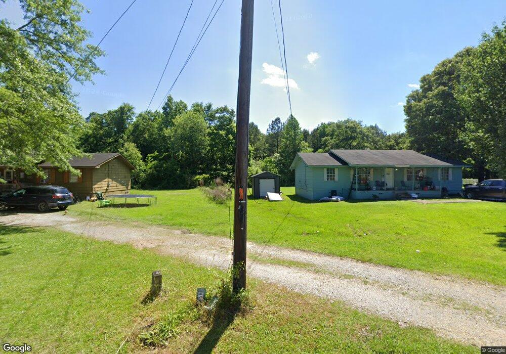
260 Davis Dr Odenville, AL 35120
Estimated Value: $283,748 - $301,000
--
Bed
1
Bath
1,868
Sq Ft
$158/Sq Ft
Est. Value
About This Home
This home is located at 260 Davis Dr, Odenville, AL 35120 and is currently estimated at $294,437, approximately $157 per square foot. 260 Davis Dr is a home located in St. Clair County with nearby schools including Margaret Elementary School, Moody Middle School, and Moody High School.
Ownership History
Date
Name
Owned For
Owner Type
Purchase Details
Closed on
Oct 22, 2025
Sold by
Reynolds Vickie E and Norman Anayi Mala
Bought by
Reynolds Vickie E
Current Estimated Value
Home Financials for this Owner
Home Financials are based on the most recent Mortgage that was taken out on this home.
Original Mortgage
$99,400
Outstanding Balance
$99,400
Interest Rate
6.35%
Mortgage Type
New Conventional
Estimated Equity
$195,037
Create a Home Valuation Report for This Property
The Home Valuation Report is an in-depth analysis detailing your home's value as well as a comparison with similar homes in the area
Home Values in the Area
Average Home Value in this Area
Purchase History
| Date | Buyer | Sale Price | Title Company |
|---|---|---|---|
| Reynolds Vickie E | -- | None Listed On Document |
Source: Public Records
Mortgage History
| Date | Status | Borrower | Loan Amount |
|---|---|---|---|
| Open | Reynolds Vickie E | $99,400 |
Source: Public Records
Tax History Compared to Growth
Tax History
| Year | Tax Paid | Tax Assessment Tax Assessment Total Assessment is a certain percentage of the fair market value that is determined by local assessors to be the total taxable value of land and additions on the property. | Land | Improvement |
|---|---|---|---|---|
| 2024 | $992 | $57,736 | $2,380 | $55,356 |
| 2023 | $1,012 | $57,736 | $2,380 | $55,356 |
| 2022 | $829 | $24,350 | $900 | $23,450 |
| 2021 | $660 | $24,354 | $904 | $23,450 |
| 2020 | $660 | $19,662 | $902 | $18,760 |
| 2019 | $660 | $19,662 | $902 | $18,760 |
| 2018 | $592 | $17,780 | $0 | $0 |
| 2017 | $608 | $17,780 | $0 | $0 |
| 2016 | $592 | $17,780 | $0 | $0 |
| 2015 | $608 | $17,780 | $0 | $0 |
| 2014 | $608 | $18,220 | $0 | $0 |
Source: Public Records
Map
Nearby Homes
- 0 Clearview Rd Unit 21424571
- 142 Clearview
- 85 Valley View Dr
- 2590 Levine Rd
- 30 Sussex Rd
- 115 Sussex Rd
- 195 Sussex Rd
- 630 Fox Trot Dr
- 4540 Mountain View Rd
- 116 Solar Shield Blvd
- 925 Moonlite Dr
- 0 Turkey Trail Rd Unit 46
- 0 Turkey Trail Rd Unit 47 21423311
- 305 Turkey Trail Rd
- 890 Moonlite Dr
- 55 Rae St
- 365 Turkey Trail Rd
- 5460 County Road 12
- 803 Hunters Crossing Rd Unit 6
- 352 Hunters Crossing Rd Unit 45
- 1175 Summit Park Rd
- 1144 Summit Park Rd
- 150 Summit Park Dr Unit 1
- 1250 Summit Park Rd
- 389 Lake Rd
- 388 Summit Park Rd
- 379 Lake Rd
- 369 Lake Rd
- 560 Polly Ridge Rd
- 550 Polly Ridge Rd
- 570 Polly Ridge Rd
- 540 Polly Ridge Rd
- 530 Polly Ridge Rd
- 520 Polly Ridge Rd
- 460 Polly Ridge Rd
- 460 Polly Ridge Rd
- 0 Polly Ridge Rd Unit LOT 5 572283
- 0 Polly Ridge Rd Unit 494327
- 385 Polly Ridge Rd
- 515 Polly Ridge Rd