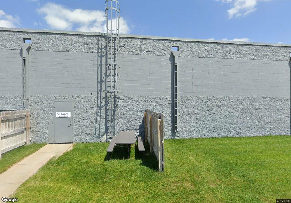
2600 Cornhusker Dr South Sioux City, NE 68776
Estimated Value: $1,207,356
--
Bed
--
Bath
3,250
Sq Ft
$371/Sq Ft
Est. Value
About This Home
This home is located at 2600 Cornhusker Dr, South Sioux City, NE 68776 and is currently estimated at $1,207,356, approximately $371 per square foot. 2600 Cornhusker Dr is a home located in Dakota County with nearby schools including Covington Elementary School, South Sioux City Middle School, and South Sioux Senior High School.
Ownership History
Date
Name
Owned For
Owner Type
Purchase Details
Closed on
Sep 24, 2012
Sold by
L L L Inc
Bought by
Bigger Future Llc
Current Estimated Value
Home Financials for this Owner
Home Financials are based on the most recent Mortgage that was taken out on this home.
Original Mortgage
$532,500
Outstanding Balance
$370,644
Interest Rate
3.62%
Mortgage Type
Future Advance Clause Open End Mortgage
Estimated Equity
$836,712
Purchase Details
Closed on
Nov 24, 2009
Sold by
Downhour Mollie L and Vess Millie L
Bought by
Cook Stanley L and Cook Donna L
Purchase Details
Closed on
Aug 31, 1998
Sold by
Bb South Sioux City Partnership
Bought by
Ill Inc
Purchase Details
Closed on
Mar 7, 1997
Sold by
South Sioux City Plaza Limited
Bought by
Bb South Sisoux City Lim Partnership
Create a Home Valuation Report for This Property
The Home Valuation Report is an in-depth analysis detailing your home's value as well as a comparison with similar homes in the area
Home Values in the Area
Average Home Value in this Area
Purchase History
| Date | Buyer | Sale Price | Title Company |
|---|---|---|---|
| Bigger Future Llc | $533,000 | None Available | |
| Cook Stanley L | $44,000 | -- | |
| Ill Inc | $840,000 | -- | |
| Bb South Sisoux City Lim Partnership | $161,300 | -- |
Source: Public Records
Mortgage History
| Date | Status | Borrower | Loan Amount |
|---|---|---|---|
| Open | Bigger Future Llc | $532,500 |
Source: Public Records
Tax History Compared to Growth
Tax History
| Year | Tax Paid | Tax Assessment Tax Assessment Total Assessment is a certain percentage of the fair market value that is determined by local assessors to be the total taxable value of land and additions on the property. | Land | Improvement |
|---|---|---|---|---|
| 2024 | $8,970 | $702,405 | $86,985 | $615,420 |
| 2023 | $12,385 | $697,495 | $86,985 | $610,510 |
| 2022 | $13,339 | $697,495 | $86,985 | $610,510 |
| 2021 | $13,825 | $697,495 | $86,985 | $610,510 |
| 2020 | $14,442 | $722,370 | $86,985 | $635,385 |
| 2019 | $14,484 | $722,370 | $86,985 | $635,385 |
| 2018 | $14,604 | $722,370 | $86,985 | $635,385 |
| 2017 | $13,147 | $651,825 | $75,825 | $576,000 |
| 2016 | $12,925 | $651,825 | $75,825 | $576,000 |
| 2014 | $13,421 | $651,825 | $75,825 | $576,000 |
Source: Public Records
Map
Nearby Homes
- 2434 U S 77
- 3312 Cedar Mill Way
- 3200 Cider Mill Way
- 389 Willow Gardens
- 114 Oakmont Dr
- 214 W 31st St
- 424 S Ridge Dr
- 125 E 30th St
- 405 W 17th St
- 423 Golf Rd
- 202 E 23rd St
- 1401 & 1402 5th Ave
- 314 E 17th St
- 300 Kerri Ln
- 509 142nd St
- 2101 F St
- 605 Stagecoach Rd
- 324 Regency Ct
- 429 E 15th St
- 1018 & 1018 1/2 B St
- 201 S Fork
- 1030 W 25th St
- 2737 Cornhusker Dr
- 915 W 27th St Unit 917
- 930 W 25th St
- TBD W 25th St Unit .7 acres
- TBD W 25th St Unit Tract 4
- TBD W 25th St Unit Tract 3
- TBD W 25th St Unit Tract 2
- TBD W 25th St Unit Tract 1
- 2801 Cornhusker Dr
- 929 W 25th St
- 2800 Serbick Dr
- 2800 Serbick Dr
- 2800 Serbick Dr Unit 30
- 2800 Serbick Dr Unit 17
- 2800 Serbick Dr Unit 12
- 2800 Serbick Dr Unit 10
- 2800 Serbick Dr Unit 9
- 929 W 29th St
