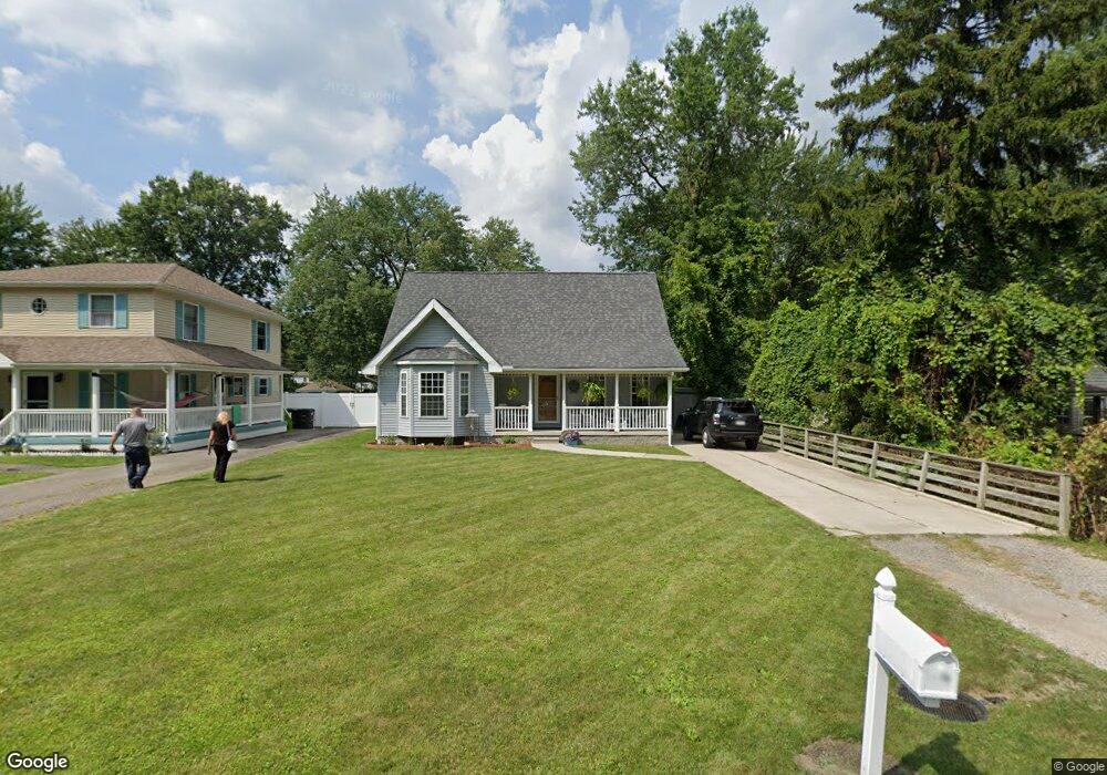
26078 Airline St Taylor, MI 48180
Estimated Value: $231,000 - $305,000
3
Beds
3
Baths
1,716
Sq Ft
$161/Sq Ft
Est. Value
About This Home
This home is located at 26078 Airline St, Taylor, MI 48180 and is currently estimated at $275,775, approximately $160 per square foot. 26078 Airline St is a home located in Wayne County with nearby schools including Holland Elementary School, Hoover Middle School, and Taylor High School.
Ownership History
Date
Name
Owned For
Owner Type
Purchase Details
Closed on
Sep 1, 2017
Sold by
Gray Brian
Bought by
Mckay Lesley
Current Estimated Value
Home Financials for this Owner
Home Financials are based on the most recent Mortgage that was taken out on this home.
Original Mortgage
$117,727
Outstanding Balance
$99,526
Interest Rate
4.37%
Mortgage Type
FHA
Estimated Equity
$176,249
Purchase Details
Closed on
Mar 25, 2009
Sold by
Earl Robert D and Earl Yolanda G
Bought by
Federal National Mortgage Association
Create a Home Valuation Report for This Property
The Home Valuation Report is an in-depth analysis detailing your home's value as well as a comparison with similar homes in the area
Home Values in the Area
Average Home Value in this Area
Purchase History
| Date | Buyer | Sale Price | Title Company |
|---|---|---|---|
| Mckay Lesley | $119,900 | First Amer Title Ins Co | |
| Federal National Mortgage Association | $124,241 | None Available |
Source: Public Records
Mortgage History
| Date | Status | Borrower | Loan Amount |
|---|---|---|---|
| Open | Mckay Lesley | $117,727 |
Source: Public Records
Tax History Compared to Growth
Tax History
| Year | Tax Paid | Tax Assessment Tax Assessment Total Assessment is a certain percentage of the fair market value that is determined by local assessors to be the total taxable value of land and additions on the property. | Land | Improvement |
|---|---|---|---|---|
| 2025 | $3,502 | $133,600 | $0 | $0 |
| 2024 | $3,502 | $119,200 | $0 | $0 |
| 2023 | $4,176 | $109,100 | $0 | $0 |
| 2022 | $3,342 | $96,100 | $0 | $0 |
| 2021 | $4,539 | $92,800 | $0 | $0 |
| 2020 | $4,264 | $89,300 | $0 | $0 |
| 2019 | $439,937 | $91,800 | $0 | $0 |
| 2018 | $2,870 | $67,000 | $0 | $0 |
| 2017 | $991 | $59,700 | $0 | $0 |
| 2016 | $2,270 | $57,900 | $0 | $0 |
| 2015 | $4,105 | $56,100 | $0 | $0 |
| 2013 | $4,100 | $42,800 | $0 | $0 |
| 2012 | $1,889 | $41,900 | $10,100 | $31,800 |
Source: Public Records
Map
Nearby Homes
- 11693 Partridge Dr Unit 38
- 11693 Partridge Dr
- 11825 Partridge Dr Unit 74
- 11847 Partridge Dr Unit 75
- 11715 Partridge Dr Unit 69
- 11737 Partridge Dr Unit 70
- 25873 Cove Creek Dr Unit 7
- 25830 Belledale St
- 25822 Cove Creek Dr
- Bayberry Plan at Cypress Garden
- Bannister Plan at Cypress Garden
- Cypress Plan at Cypress Garden
- Evanston IV Plan at Cypress Garden
- Cedar III Plan at Cypress Garden
- Aspen Plan at Cypress Garden
- Evanston III Plan at Cypress Garden
- Cedar IV Plan at Cypress Garden
- 11098 Partridge Dr Unit 12
- 11098 Partridge Dr
- 11081 Coventry Ct Unit 31
- 26088 Airline St
- 26068 Airline St
- 26348 Partridge Dr
- 11165 Partridge Dr Unit 8
- 26348 Partridge Dr Unit 10
- 26048 Airline St
- 26079 Airline St
- 26025 Belledale St
- 26047 Airline St
- 26071 Belledale St
- 26037 Belledale St
- 26028 Airline St
- 26095 Airline St
- 26057 Airline St
- 26027 Airline St
- 25955 Belledale St
- 26097 Belledale St
- 26010 Airline St
- 25937 Belledale St
- 26017 Airline St