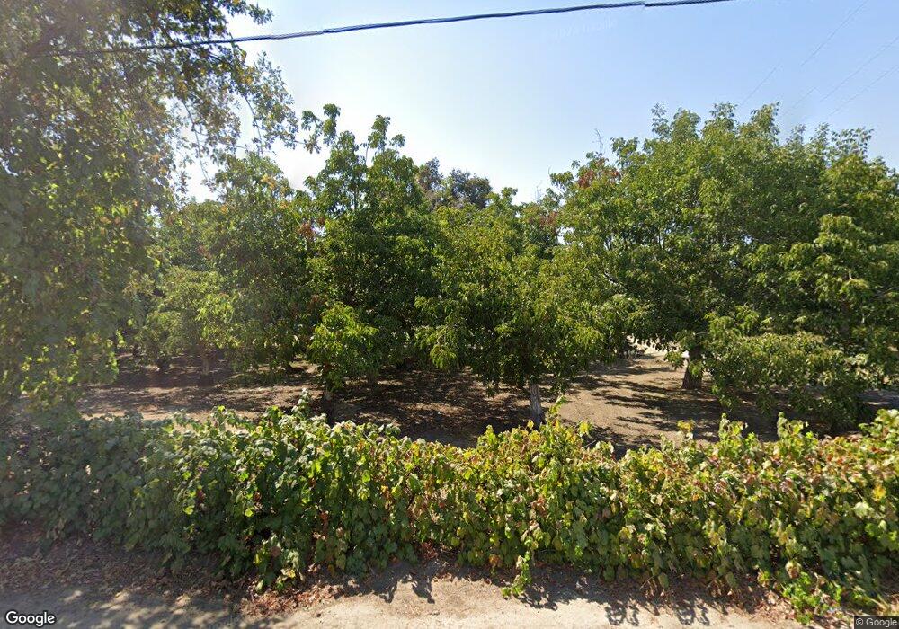
26079 Road 132 Visalia, CA 93292
Estimated Value: $452,621 - $492,000
3
Beds
1
Bath
2,035
Sq Ft
$234/Sq Ft
Est. Value
About This Home
This home is located at 26079 Road 132, Visalia, CA 93292 and is currently estimated at $476,540, approximately $234 per square foot. 26079 Road 132 is a home located in Tulare County with nearby schools including Liberty Elementary School, Tulare Western High School, and Blue Oak Academy.
Ownership History
Date
Name
Owned For
Owner Type
Purchase Details
Closed on
Mar 7, 2022
Sold by
Ann Bennetts Lois
Bought by
Frederick L Bennetts And Lois Ann Bennetts 20 and Bennetts Lois
Current Estimated Value
Purchase Details
Closed on
Jan 6, 2020
Sold by
Bennetts Frederick L and Bennetts Lois Ann
Bought by
Bennetts Frederick L and Bennetts Lois Ann
Purchase Details
Closed on
Nov 25, 2002
Sold by
Bennetts Frederick L
Bought by
Bennetts Frederick L and Bennetts Lois Ann
Purchase Details
Closed on
May 27, 1999
Sold by
Va
Bought by
Bennetts Frederick L and Bennetts Lois A
Create a Home Valuation Report for This Property
The Home Valuation Report is an in-depth analysis detailing your home's value as well as a comparison with similar homes in the area
Home Values in the Area
Average Home Value in this Area
Purchase History
| Date | Buyer | Sale Price | Title Company |
|---|---|---|---|
| Frederick L Bennetts And Lois Ann Bennetts 20 | -- | -- | |
| Bennetts Frederick L | -- | None Available | |
| Bennetts Frederick L | -- | -- | |
| Bennetts Frederick L | -- | -- |
Source: Public Records
Tax History Compared to Growth
Tax History
| Year | Tax Paid | Tax Assessment Tax Assessment Total Assessment is a certain percentage of the fair market value that is determined by local assessors to be the total taxable value of land and additions on the property. | Land | Improvement |
|---|---|---|---|---|
| 2025 | $1,984 | $112,568 | $23,096 | $89,472 |
| 2024 | $1,984 | $185,092 | $22,644 | $162,448 |
| 2023 | $1,972 | $183,949 | $22,200 | $161,749 |
| 2022 | $2,613 | $243,988 | $21,765 | $222,223 |
| 2021 | $2,687 | $249,578 | $21,338 | $228,240 |
| 2020 | $2,888 | $260,861 | $21,119 | $239,742 |
| 2019 | $3,203 | $275,723 | $20,705 | $255,018 |
| 2018 | $3,254 | $276,844 | $20,299 | $256,545 |
| 2017 | $2,860 | $239,834 | $19,901 | $219,933 |
| 2016 | $2,921 | $250,622 | $19,511 | $231,111 |
| 2015 | $2,874 | $235,854 | $19,218 | $216,636 |
| 2014 | $2,874 | $245,920 | $18,842 | $227,078 |
Source: Public Records
Map
Nearby Homes
- 26484 Mulanax Dr
- 3012 N Oakmore St
- 26814 S Mooney Blvd Unit D156
- 26814 S Mooney Blvd Unit B45
- 1109 E Elkhorn Ave
- 303 E Elkhorn Ave
- 0 N Mooney Blvd
- 1138 E Packwood Ave
- 1011 E Russell Ave
- 136 W Loyola Ave
- 612 W Packwood Ct
- 14999 Avenue 260
- 3831 S Watson St
- 2852 Ruby Port St Unit Sor61
- 3012 N Oakmore Rd
- 605 W Russell Ave
- 27274 S Mooney Blvd
- 11590 Avenue 272
- 3511 S Oakhurst Ct
- 1047 E Arlen Ave
- 26062 Road 132
- 26188 Road 132 Unit 132
- 26188 Road 132
- 26268 Road 132
- 26258 Road 132
- 13305 Avenue 264
- 13391 Avenue 264
- 13399 Avenue 264
- 13404 Avenue 256
- 26500 Road 132
- 13505 Avenue 264
- 13339 Avenue 256
- 13641 Avenue 266
- 26738 Road 132
- 13596 Avenue 266
- 12535 Avenue 264
- 0 Mulanax (Lot#1) Dr Unit 135935
- 0 Mulanax (Lot#1) Dr Unit 138871
- 26598 Road 124
- 12502 Avenue 264
