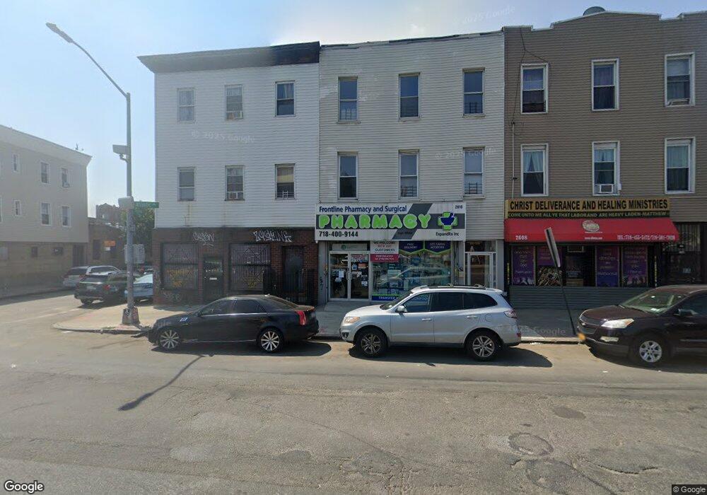
2608 Atlantic Ave Brooklyn, NY 11207
Brownsville NeighborhoodEstimated Value: $507,859
--
Bed
--
Bath
4,000
Sq Ft
$127/Sq Ft
Est. Value
About This Home
This home is located at 2608 Atlantic Ave, Brooklyn, NY 11207 and is currently priced at $507,859, approximately $126 per square foot. 2608 Atlantic Ave is a home located in Kings County with nearby schools including J.H.S 292 Margaret S. Douglas, Uncommon Schools Leadership Preparatory Ocean Hill Charter School, and Trey Whitfield School.
Ownership History
Date
Name
Owned For
Owner Type
Purchase Details
Closed on
Oct 15, 2009
Sold by
Coe Roger
Bought by
L J C B Corp
Current Estimated Value
Home Financials for this Owner
Home Financials are based on the most recent Mortgage that was taken out on this home.
Original Mortgage
$230,000
Outstanding Balance
$150,033
Interest Rate
5.06%
Mortgage Type
Commercial
Purchase Details
Closed on
Dec 19, 1996
Sold by
Vitucci Barbara and Vitucci John
Bought by
Coe Roger
Create a Home Valuation Report for This Property
The Home Valuation Report is an in-depth analysis detailing your home's value as well as a comparison with similar homes in the area
Home Values in the Area
Average Home Value in this Area
Purchase History
| Date | Buyer | Sale Price | Title Company |
|---|---|---|---|
| L J C B Corp | $270,000 | -- | |
| Coe Roger | $57,000 | First American Title Ins Co |
Source: Public Records
Mortgage History
| Date | Status | Borrower | Loan Amount |
|---|---|---|---|
| Open | L J C B Corp | $230,000 |
Source: Public Records
Tax History Compared to Growth
Tax History
| Year | Tax Paid | Tax Assessment Tax Assessment Total Assessment is a certain percentage of the fair market value that is determined by local assessors to be the total taxable value of land and additions on the property. | Land | Improvement |
|---|---|---|---|---|
| 2025 | $4,433 | $64,920 | $7,860 | $57,060 |
| 2024 | $4,433 | $54,360 | $7,860 | $46,500 |
| 2023 | $4,229 | $55,440 | $7,860 | $47,580 |
| 2022 | $3,079 | $58,260 | $7,860 | $50,400 |
| 2021 | $4,209 | $51,480 | $7,860 | $43,620 |
| 2020 | $1,974 | $43,860 | $7,860 | $36,000 |
| 2019 | $3,847 | $38,160 | $7,860 | $30,300 |
| 2018 | $3,646 | $17,352 | $4,289 | $13,063 |
| 2017 | $3,493 | $17,136 | $4,544 | $12,592 |
| 2016 | $3,332 | $16,667 | $5,299 | $11,368 |
| 2015 | $1,950 | $15,724 | $6,005 | $9,719 |
| 2014 | $1,950 | $15,327 | $6,947 | $8,380 |
Source: Public Records
Map
Nearby Homes
- 2573 Atlantic Ave
- 124 Pennsylvania Ave
- 100 Williams Ave
- 45 Hinsdale St
- 22 Hinsdale St
- 90 Wyona St
- 159 Wyona St
- 95 Wyona St
- 57 Wyona St
- 2735 Fulton St
- 35 Wyona St
- 52 Bradford St
- 168 Miller Ave
- 207 Bradford St
- 243 Wyona St
- 34&36 Marginal St
- 1719 E New York Ave
- 174 van Siclen Ave
- 297 Pennsylvania Ave
- 1451 Herkimer St
- 2610 Atlantic Ave Unit 3
- 2610 Atlantic Ave Unit 2
- 2610 Atlantic Ave Unit 1st Floor
- 2610 Atlantic Ave
- 2610 Atlantic Ave
- 2594 Atlantic Ave
- 2596 Atlantic Ave
- 2612 Atlantic Ave
- 2592 Atlantic Ave
- 2618 Atlantic Ave
- 2620 Atlantic Ave
- 2624 Atlantic Ave
- 91 Sheffield Ave
- 2591 Atlantic Ave
- 2619 Atlantic Ave Unit 1A
- 2619 Atlantic Ave
- 2621 Atlantic Ave
- 2588-2590 Atlantic Ave
- 2621 Atlantic Ave
- 2621 Atlantic Ave Unit 3