26085 340th Ave Underwood, MN 56586
Estimated Value: $397,000 - $579,000
--
Bed
--
Bath
560
Sq Ft
$832/Sq Ft
Est. Value
About This Home
This home is located at 26085 340th Ave, Underwood, MN 56586 and is currently estimated at $466,003, approximately $832 per square foot. 26085 340th Ave is a home located in Otter Tail County with nearby schools including Battle Lake Elementary School and Battle Lake Secondary School.
Create a Home Valuation Report for This Property
The Home Valuation Report is an in-depth analysis detailing your home's value as well as a comparison with similar homes in the area
Home Values in the Area
Average Home Value in this Area
Tax History Compared to Growth
Tax History
| Year | Tax Paid | Tax Assessment Tax Assessment Total Assessment is a certain percentage of the fair market value that is determined by local assessors to be the total taxable value of land and additions on the property. | Land | Improvement |
|---|---|---|---|---|
| 2025 | $2,796 | $402,800 | $118,300 | $284,500 |
| 2024 | $2,798 | $398,000 | $109,300 | $288,700 |
| 2023 | $2,286 | $338,600 | $84,200 | $254,400 |
| 2022 | $234 | $228,600 | $0 | $0 |
| 2021 | $230 | $338,600 | $84,200 | $254,400 |
| 2020 | $226 | $258,000 | $62,900 | $195,100 |
| 2019 | $230 | $236,500 | $60,100 | $176,400 |
| 2018 | $215 | $236,500 | $60,100 | $176,400 |
| 2017 | $225 | $221,900 | $59,100 | $162,800 |
| 2016 | $205 | $203,000 | $54,700 | $148,300 |
| 2015 | $191 | $0 | $0 | $0 |
| 2014 | -- | $181,700 | $52,700 | $129,000 |
Source: Public Records
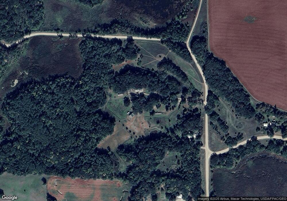
Map
Nearby Homes
- TBD 344th Ave
- TBD 340th Ave
- 27621 County Highway 83 Unit 4
- 27621 County Highway 83 Unit 3
- 27621 County Highway 83 Unit 1
- 27621 County Highway 83 Unit 2
- 27621 County Highway 83 Unit 5
- TBD Co Hwy 1
- Tbd County Highway 1
- xxxxx hwy 1 Hwy 1 & Hwy 45
- XXXX HWY 45 Hwy 1 & Hwy 45
- 36074 County Highway 72
- 23898 324th Ave
- 28660 County Highway 145
- 37538 Norwood Ln
- Lot M Norwood Ln
- 37519 Norwood Ln
- Lot A Norwood Ln
- TBD XXXX Norwood Ln
- xxxx Norwood Ln