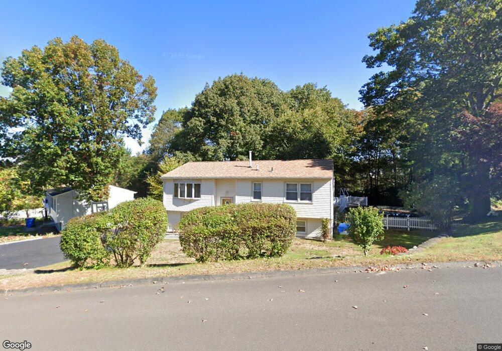
261 Stoddard Rd Waterbury, CT 06708
Bunker Hill NeighborhoodEstimated Value: $300,389 - $354,000
3
Beds
1
Bath
961
Sq Ft
$338/Sq Ft
Est. Value
About This Home
This home is located at 261 Stoddard Rd, Waterbury, CT 06708 and is currently estimated at $325,097, approximately $338 per square foot. 261 Stoddard Rd is a home located in New Haven County with nearby schools including Carrington Elementary School, Wilby High School, and Blessed Sacrament Catholic Day School.
Ownership History
Date
Name
Owned For
Owner Type
Purchase Details
Closed on
May 24, 2016
Sold by
Tsetsos Matoulas
Bought by
Tsetsos Matoulas and Tsetsos Michael
Current Estimated Value
Create a Home Valuation Report for This Property
The Home Valuation Report is an in-depth analysis detailing your home's value as well as a comparison with similar homes in the area
Home Values in the Area
Average Home Value in this Area
Purchase History
| Date | Buyer | Sale Price | Title Company |
|---|---|---|---|
| Tsetsos Matoulas | -- | -- |
Source: Public Records
Mortgage History
| Date | Status | Borrower | Loan Amount |
|---|---|---|---|
| Previous Owner | Tsetsos Matoulas | $90,000 |
Source: Public Records
Tax History Compared to Growth
Tax History
| Year | Tax Paid | Tax Assessment Tax Assessment Total Assessment is a certain percentage of the fair market value that is determined by local assessors to be the total taxable value of land and additions on the property. | Land | Improvement |
|---|---|---|---|---|
| 2025 | $6,716 | $149,310 | $27,790 | $121,520 |
| 2024 | $7,382 | $149,310 | $27,790 | $121,520 |
| 2023 | $8,091 | $149,310 | $27,790 | $121,520 |
| 2022 | $5,035 | $83,620 | $27,800 | $55,820 |
| 2021 | $5,035 | $83,620 | $27,800 | $55,820 |
| 2020 | $5,035 | $83,620 | $27,800 | $55,820 |
| 2019 | $5,035 | $83,620 | $27,800 | $55,820 |
| 2018 | $5,035 | $83,620 | $27,800 | $55,820 |
| 2017 | $5,264 | $87,430 | $27,790 | $59,640 |
| 2016 | $5,264 | $87,430 | $27,790 | $59,640 |
| 2015 | $5,090 | $87,430 | $27,790 | $59,640 |
| 2014 | $5,090 | $87,430 | $27,790 | $59,640 |
Source: Public Records
Map
Nearby Homes
- 208 Kendall Cir
- 62 Haddad Rd
- 51 Haddad Rd
- 76 Kenmore Ave
- 28 Gaylord Glen
- 26 Kendall Cir
- 91 Devonwood Dr
- 00 Gaylord Glen
- 32 Clough Rd
- 310 Parklawn Dr
- 640 Bunker Hill Ave
- 00 Bunker Hill Ave
- 134 Heritage Dr
- 112 Delaware Ave
- 859 Bunker Hill Ave
- 0004 Westwood Ave
- 278 Georgetown Dr
- 39 Glendale Dr
- 604 Lakeside Blvd W
- 66 Revere St
- 249 Stoddard Rd
- 267 Stoddard Rd
- 7 Pinecrest Dr
- 6 Springwood Rd
- 240 Stoddard Rd
- 14 Springwood Rd
- 275 Stoddard Rd
- 17 Pinecrest Dr
- 24 Springwood Rd
- 12 Oakcrest Cir
- 390 Ardsley Rd
- 230 Stoddard Rd
- 281 Stoddard Rd
- 280 Stoddard Rd
- 225 Stoddard Rd
- 1 Oakcrest Cir
- 384 Ardsley Rd
- 15 Springwood Rd
- 18 Oakcrest Cir