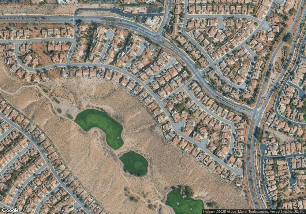
2629 Evening Sky Dr Henderson, NV 89052
Sun City Anthem NeighborhoodEstimated Value: $705,000 - $1,108,000
3
Beds
3
Baths
2,321
Sq Ft
$367/Sq Ft
Est. Value
About This Home
This home is located at 2629 Evening Sky Dr, Henderson, NV 89052 and is currently estimated at $851,391, approximately $366 per square foot. 2629 Evening Sky Dr is a home located in Clark County with nearby schools including Shirley & Bill Wallin Elementary School, Del E. Webb Middle School, and Liberty High School.
Ownership History
Date
Name
Owned For
Owner Type
Purchase Details
Closed on
Jun 18, 2021
Sold by
Chang Sookang Han and The Sookang Han Chang Living T
Bought by
Chang Sookang Han and Chang John C
Current Estimated Value
Home Financials for this Owner
Home Financials are based on the most recent Mortgage that was taken out on this home.
Original Mortgage
$200,000
Outstanding Balance
$181,075
Interest Rate
2.9%
Mortgage Type
New Conventional
Estimated Equity
$670,316
Purchase Details
Closed on
Feb 14, 2005
Sold by
Chandler Rodney D and Chandler Joyce E
Bought by
Chang Sookang Han and Sookang Han Chang Living Trust
Purchase Details
Closed on
Sep 1, 2000
Sold by
Del Webb Communities Inc
Bought by
Chandler Rodney D and Chandler Joyce E
Create a Home Valuation Report for This Property
The Home Valuation Report is an in-depth analysis detailing your home's value as well as a comparison with similar homes in the area
Home Values in the Area
Average Home Value in this Area
Purchase History
| Date | Buyer | Sale Price | Title Company |
|---|---|---|---|
| Chang Sookang Han | -- | Accommodation | |
| Chang Sookang Han | $620,000 | Fidelity National Title | |
| Chandler Rodney D | $313,764 | Del Webb Title Company Nevad |
Source: Public Records
Mortgage History
| Date | Status | Borrower | Loan Amount |
|---|---|---|---|
| Open | Chang Sookang Han | $200,000 |
Source: Public Records
Tax History Compared to Growth
Tax History
| Year | Tax Paid | Tax Assessment Tax Assessment Total Assessment is a certain percentage of the fair market value that is determined by local assessors to be the total taxable value of land and additions on the property. | Land | Improvement |
|---|---|---|---|---|
| 2025 | $3,987 | $173,785 | $78,750 | $95,035 |
| 2024 | $3,872 | $173,785 | $78,750 | $95,035 |
| 2023 | $3,160 | $165,445 | $75,250 | $90,195 |
| 2022 | $3,759 | $149,570 | $67,200 | $82,370 |
| 2021 | $3,650 | $140,147 | $61,950 | $78,197 |
| 2020 | $3,540 | $139,083 | $61,600 | $77,483 |
| 2019 | $3,437 | $135,861 | $59,500 | $76,361 |
| 2018 | $3,337 | $131,306 | $57,750 | $73,556 |
| 2017 | $3,735 | $127,895 | $54,250 | $73,645 |
| 2016 | $3,160 | $117,413 | $43,750 | $73,663 |
| 2015 | $3,154 | $109,368 | $36,750 | $72,618 |
| 2014 | $3,062 | $103,385 | $33,250 | $70,135 |
Source: Public Records
Map
Nearby Homes
- 1616 Benchley Ct
- 2567 Evening Sky Dr
- 1620 Langston Hughes St
- 1620 Fieldbrook St
- 2562 Downeyville Ave
- 1744 Williamsport St
- 2573 Grandville Ave
- 2609 Rangely Ave
- 35 Emerald Dunes Cir
- 1749 Warrington Dr
- 4 Bloomfield Hills Dr
- 15 Emerald Dunes Cir
- 2549 Terrytown Ave
- 1717 Warrington Dr
- 4 Emerald Dunes Cir
- 6 Emerald Dunes Cir
- 2537 Terrytown Ave
- 1510 Fieldbrook St
- 1605 Williamsport St
- 3 Anthem Pointe Ct
- 2625 Evening Sky Dr
- 2633 Evening Sky Dr
- 2621 Evening Sky Dr
- 1687 Fieldbrook St
- 2637 Evening Sky Dr
- 1688 Fieldbrook St
- 1616 Bontemps Ct
- 1684 Fieldbrook St
- 1683 Fieldbrook St
- 2641 Evening Sky Dr
- 2614 Evening Sky Dr
- 2615 Evening Sky Dr
- 1612 Bontemps Ct Unit 5
- 1680 Fieldbrook St
- 1679 Fieldbrook St Unit 5
- 2645 Evening Sky Dr
- 2610 Evening Sky Dr
- 1617 Bontemps Ct
- 2607 Evening Sky Dr Unit 5
- 1608 Bontemps Ct
