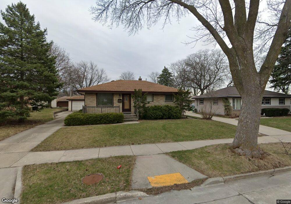
2633 S 102nd St Milwaukee, WI 53227
President Heights NeighborhoodEstimated Value: $269,914 - $322,000
3
Beds
1
Bath
941
Sq Ft
$308/Sq Ft
Est. Value
About This Home
This home is located at 2633 S 102nd St, Milwaukee, WI 53227 and is currently estimated at $290,229, approximately $308 per square foot. 2633 S 102nd St is a home located in Milwaukee County with nearby schools including Mitchell Elementary School, Lane Intermediate School, and Nathan Hale High School.
Ownership History
Date
Name
Owned For
Owner Type
Purchase Details
Closed on
Aug 4, 2017
Sold by
Manzek Peter J and Manzek Tanja R
Bought by
Harner Craig
Current Estimated Value
Home Financials for this Owner
Home Financials are based on the most recent Mortgage that was taken out on this home.
Original Mortgage
$125,000
Outstanding Balance
$104,499
Interest Rate
4.03%
Estimated Equity
$185,730
Purchase Details
Closed on
Dec 16, 2015
Sold by
Manzke Peter J
Bought by
Manzke Peter J and Manzke Tanja R
Create a Home Valuation Report for This Property
The Home Valuation Report is an in-depth analysis detailing your home's value as well as a comparison with similar homes in the area
Home Values in the Area
Average Home Value in this Area
Purchase History
| Date | Buyer | Sale Price | Title Company |
|---|---|---|---|
| Harner Craig | $152,000 | None Available | |
| Manzke Peter J | -- | None Available |
Source: Public Records
Mortgage History
| Date | Status | Borrower | Loan Amount |
|---|---|---|---|
| Open | Harner Craig | $125,000 |
Source: Public Records
Tax History Compared to Growth
Tax History
| Year | Tax Paid | Tax Assessment Tax Assessment Total Assessment is a certain percentage of the fair market value that is determined by local assessors to be the total taxable value of land and additions on the property. | Land | Improvement |
|---|---|---|---|---|
| 2024 | $3,830 | $190,900 | $38,100 | $152,800 |
| 2023 | $3,606 | $129,400 | $23,500 | $105,900 |
| 2022 | $3,597 | $129,400 | $23,500 | $105,900 |
| 2021 | $3,531 | $129,400 | $23,500 | $105,900 |
| 2020 | $3,549 | $129,400 | $23,500 | $105,900 |
| 2019 | $3,448 | $129,400 | $23,500 | $105,900 |
| 2018 | $3,490 | $129,400 | $23,500 | $105,900 |
| 2017 | $3,584 | $129,400 | $23,500 | $105,900 |
| 2016 | $3,470 | $129,400 | $23,500 | $105,900 |
| 2015 | $3,453 | $129,400 | $23,500 | $105,900 |
| 2014 | $3,451 | $129,400 | $23,500 | $105,900 |
Source: Public Records
Map
Nearby Homes
- 2732 S 96th St
- 10433 W Manitoba St
- 9810 W Manitoba St
- 2472 S 95th St
- 9806 W Lincoln Ave
- 2450 S 95th St
- 10903 W Lincoln Ave
- 2343 S 95th St
- 3122 S 97th St
- 2172 S 98th St
- 3168 S 97th St
- 11444 W Montana Ave
- 88 W Becher St
- 2089 S 107th St
- 2104 S 98th St
- 3160 S 95th St
- 11401 W National Ave
- 9727 W Ohio Ave
- 2149 S 93rd St
- 2177 S 92nd St
- 2645 S 102nd St
- 2627 S 102nd St
- 10202 W Cleveland Ave
- 10200 W Cleveland Ave
- 2655 S 102nd St
- 2617 S 102nd St
- 10184 W Harrison Ave
- 10204 W Cleveland Ave
- 10181 W Harrison Ave
- 10160 W Cleveland Ave
- 10205 W National Ave
- 10213 W National Ave
- 10176 W Harrison Ave
- 10206 W Cleveland Ave
- 10185 W National Ave
- 10167 W Cleveland Ave
- 10221 W National Ave
- 10152 W Cleveland Ave
- 10168 W Harrison Ave
- 10179 W National Ave