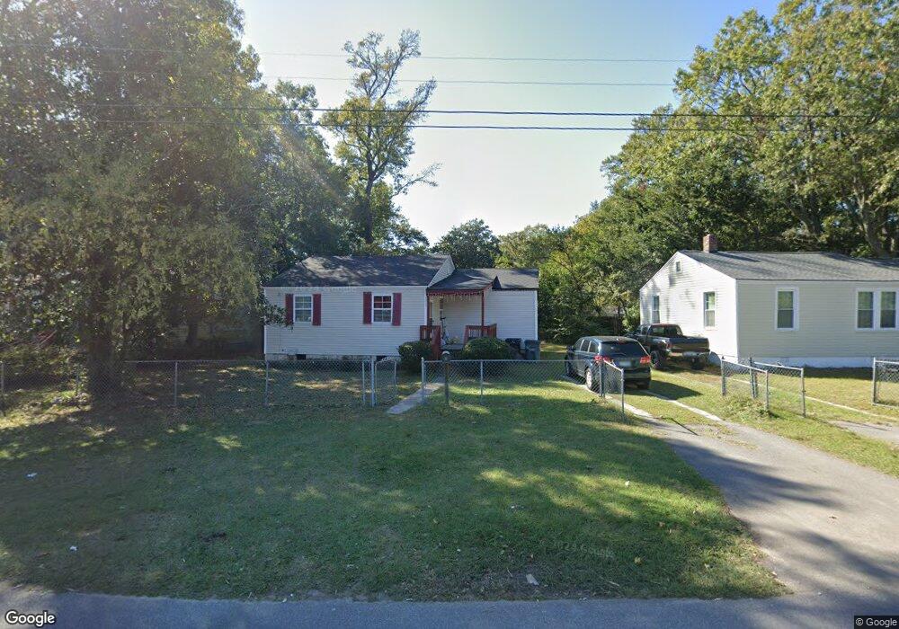
2637 Ranger Dr North Charleston, SC 29405
Waylyn NeighborhoodEstimated Value: $158,000 - $279,000
2
Beds
1
Bath
1,075
Sq Ft
$211/Sq Ft
Est. Value
About This Home
This home is located at 2637 Ranger Dr, North Charleston, SC 29405 and is currently estimated at $226,803, approximately $210 per square foot. 2637 Ranger Dr is a home located in Charleston County with nearby schools including Northwoods Middle, North Charleston High, and Gregg Mathis Charter High School.
Ownership History
Date
Name
Owned For
Owner Type
Purchase Details
Closed on
Sep 17, 2007
Sold by
Brown Clifford Wayne
Bought by
Ladson Rod S
Current Estimated Value
Home Financials for this Owner
Home Financials are based on the most recent Mortgage that was taken out on this home.
Original Mortgage
$71,000
Outstanding Balance
$44,952
Interest Rate
6.57%
Mortgage Type
Purchase Money Mortgage
Estimated Equity
$181,851
Purchase Details
Closed on
Mar 26, 2007
Sold by
James Island Baptist Church
Bought by
Brown Clifford Wayne
Purchase Details
Closed on
Mar 19, 2007
Sold by
Simmons Jr W and Simmons Carol L
Bought by
James Island Baptist Church
Purchase Details
Closed on
Dec 8, 2006
Sold by
Simmons Jr Fary W and Simmons Carol
Bought by
James Island Baptist Church
Create a Home Valuation Report for This Property
The Home Valuation Report is an in-depth analysis detailing your home's value as well as a comparison with similar homes in the area
Home Values in the Area
Average Home Value in this Area
Purchase History
| Date | Buyer | Sale Price | Title Company |
|---|---|---|---|
| Ladson Rod S | $80,500 | Attorney | |
| Brown Clifford Wayne | $22,000 | None Available | |
| James Island Baptist Church | -- | None Available | |
| James Island Baptist Church | $22,000 | None Available |
Source: Public Records
Mortgage History
| Date | Status | Borrower | Loan Amount |
|---|---|---|---|
| Open | Ladson Rod S | $71,000 |
Source: Public Records
Tax History Compared to Growth
Tax History
| Year | Tax Paid | Tax Assessment Tax Assessment Total Assessment is a certain percentage of the fair market value that is determined by local assessors to be the total taxable value of land and additions on the property. | Land | Improvement |
|---|---|---|---|---|
| 2024 | $641 | $3,180 | $0 | $0 |
| 2023 | $641 | $3,180 | $0 | $0 |
| 2022 | $587 | $3,180 | $0 | $0 |
| 2021 | $606 | $3,180 | $0 | $0 |
| 2020 | $618 | $3,180 | $0 | $0 |
| 2019 | $560 | $2,760 | $0 | $0 |
| 2017 | $511 | $2,760 | $0 | $0 |
| 2016 | $496 | $2,760 | $0 | $0 |
| 2015 | $515 | $2,760 | $0 | $0 |
| 2014 | $484 | $0 | $0 | $0 |
| 2011 | -- | $0 | $0 | $0 |
Source: Public Records
Map
Nearby Homes
- 2665 Oregon Ave
- 2656 Poplin Ave
- 2655 Ranger Dr
- 2666 Poplin Ave
- 2671 Olympia Ave
- 2679 Oregon Ave
- 2702 Decatur St
- 2675 Houston St
- 2681 Ranger Dr
- 2735 Constitution Ave
- 2674 Houston St
- 3792 Walnut St
- 3981 Niagara St
- 2732 Houston St
- 3859 Hottinger Ave
- 3987 Niagara St
- 2677 Louise Dr
- 4024 Gary Dr
- 2129 Thornlee Dr
- 2661 Martha Dr
- 2635 Ranger Dr Unit 1
- 2635 Ranger Dr
- 2635 Ranger Dr
- 2639 Ranger Dr
- 2649 Oregon Ave
- 2647 Oregon Ave
- 2647 Oregon Ave
- 2633 Ranger Dr
- 2651 Oregon Ave
- 2645 Oregon Ave
- 2643 Ranger Dr
- 2631 Ranger Dr
- 2643 Oregon Ave
- 2653 Oregon Ave
- 2629 Ranger Dr
- 2645 Ranger Dr
- 2641 Oregon Ave
- 2646 Oregon Ave
- 2642 Oregon Ave
- 2656 Ranger Dr