26496 Noland Dr Lebanon, MO 65536
Estimated Value: $287,000 - $446,956
2
Beds
1
Bath
2,079
Sq Ft
$179/Sq Ft
Est. Value
About This Home
This home is located at 26496 Noland Dr, Lebanon, MO 65536 and is currently estimated at $372,319, approximately $179 per square foot. 26496 Noland Dr is a home located in Laclede County with nearby schools including Joel E. Barber Elementary School.
Ownership History
Date
Name
Owned For
Owner Type
Purchase Details
Closed on
Mar 6, 2015
Sold by
Jenkins Paul
Bought by
Price James and Price Julie
Current Estimated Value
Home Financials for this Owner
Home Financials are based on the most recent Mortgage that was taken out on this home.
Original Mortgage
$120,000
Outstanding Balance
$91,908
Interest Rate
3.68%
Mortgage Type
Purchase Money Mortgage
Estimated Equity
$280,411
Create a Home Valuation Report for This Property
The Home Valuation Report is an in-depth analysis detailing your home's value as well as a comparison with similar homes in the area
Home Values in the Area
Average Home Value in this Area
Purchase History
| Date | Buyer | Sale Price | Title Company |
|---|---|---|---|
| Price James | -- | Hogan |
Source: Public Records
Mortgage History
| Date | Status | Borrower | Loan Amount |
|---|---|---|---|
| Open | Price James | $120,000 |
Source: Public Records
Tax History Compared to Growth
Tax History
| Year | Tax Paid | Tax Assessment Tax Assessment Total Assessment is a certain percentage of the fair market value that is determined by local assessors to be the total taxable value of land and additions on the property. | Land | Improvement |
|---|---|---|---|---|
| 2025 | $906 | $22,810 | $0 | $0 |
| 2024 | $906 | $20,940 | $0 | $0 |
| 2023 | $900 | $20,940 | $0 | $0 |
| 2022 | $835 | $19,430 | $0 | $0 |
| 2021 | $806 | $13,536 | $3,012 | $10,524 |
| 2020 | $764 | $12,600 | $2,736 | $9,864 |
| 2019 | $772 | $18,320 | $3,410 | $14,910 |
| 2018 | $733 | $18,440 | $3,530 | $14,910 |
| 2017 | $115 | $18,440 | $0 | $0 |
| 2016 | $115 | $2,960 | $0 | $0 |
| 2015 | $115 | $2,960 | $0 | $0 |
| 2014 | $115 | $2,860 | $0 | $0 |
| 2013 | -- | $2,860 | $0 | $0 |
Source: Public Records
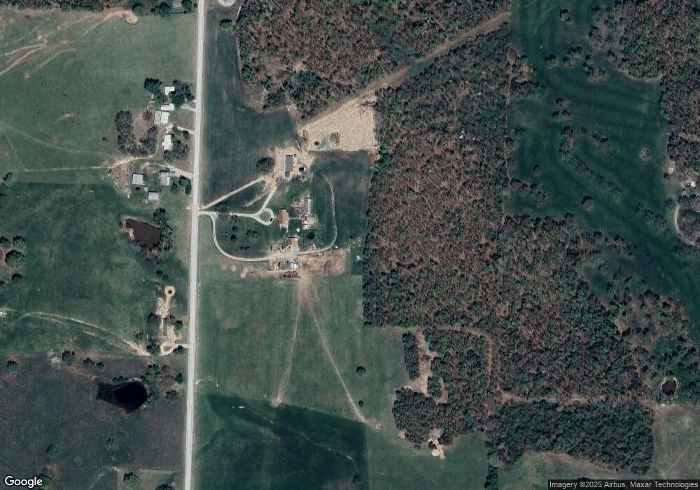
Map
Nearby Homes
- 15944 Highway Ww
- 15650 Highway Ww
- 15800 Highway Ww
- 27409 Missouri Dr
- 25195 Mcbride Dr
- 000 Ivory Rd
- 24679 Mineral Dr
- 13715 Industry Rd
- 29385 Highway Aa
- 13704 Golden Leaf Ln
- 25575 Misty Oak Dr
- 25670 Open Ridge Ln
- 12913 Highway 64
- 25611 Open Ridge Ln
- 1040 Daytona Dr
- 000 Gateway Rd
- 13071 Industry Rd
- 23315 Marvel Dr
- 23350 Marvel Dr
- 13940 Industry Rd
- 26485 Noland Dr
- 26515 Noland Dr
- 26563 Noland Dr
- 26683 Noland Dr
- 26189 Noland Dr
- 26101 Noland Dr
- 26101 Noland Dr Unit Track 2
- 26101 Noland Dr Unit Track 1
- 26101 Noland Dr Unit Track 3
- 26101 Noland Dr Unit Track 4
- 26941 Noland Dr
- 0 Noland Dr Unit 14036218
- 0 Noland Dr Unit 17003179
- 0 Noland Dr Unit 19748
- 15944 Highway Ww
- 27067 Noland Dr
- 16541 Highway Ww
- 15559 Highway Ww
- 16543 Highway Ww
- 26861 Hillsdale Rd