265 Gaylord Ln Torrington, CT 06790
Estimated Value: $380,000 - $511,191
3
Beds
3
Baths
1,555
Sq Ft
$269/Sq Ft
Est. Value
About This Home
This home is located at 265 Gaylord Ln, Torrington, CT 06790 and is currently estimated at $418,298, approximately $269 per square foot. 265 Gaylord Ln is a home located in Litchfield County with nearby schools including Torrington Middle School, Torrington High School, and Torrington Christian Academy.
Ownership History
Date
Name
Owned For
Owner Type
Purchase Details
Closed on
Mar 31, 2025
Sold by
Schapp Timothy J and Schapp Debra E
Bought by
Schapp Farm Lt
Current Estimated Value
Purchase Details
Closed on
Jul 12, 2001
Sold by
Pasquariello Mary P
Bought by
Schapp Timothy J and Schapp Debra E
Create a Home Valuation Report for This Property
The Home Valuation Report is an in-depth analysis detailing your home's value as well as a comparison with similar homes in the area
Home Values in the Area
Average Home Value in this Area
Purchase History
| Date | Buyer | Sale Price | Title Company |
|---|---|---|---|
| Schapp Farm Lt | -- | None Available | |
| Schapp Farm Lt | -- | None Available | |
| Schapp Timothy J | $80,000 | -- | |
| Schapp Timothy J | $80,000 | -- |
Source: Public Records
Mortgage History
| Date | Status | Borrower | Loan Amount |
|---|---|---|---|
| Previous Owner | Schapp Timothy J | $65,000 | |
| Previous Owner | Schapp Timothy J | $110,000 | |
| Previous Owner | Schapp Timothy J | $78,000 | |
| Previous Owner | Schapp Timothy J | $110,000 |
Source: Public Records
Tax History Compared to Growth
Tax History
| Year | Tax Paid | Tax Assessment Tax Assessment Total Assessment is a certain percentage of the fair market value that is determined by local assessors to be the total taxable value of land and additions on the property. | Land | Improvement |
|---|---|---|---|---|
| 2025 | $12,731 | $331,100 | $43,400 | $287,700 |
| 2024 | $9,991 | $208,280 | $42,790 | $165,490 |
| 2023 | $9,989 | $208,280 | $42,790 | $165,490 |
| 2022 | $9,818 | $208,280 | $42,790 | $165,490 |
| 2021 | $9,616 | $208,280 | $42,790 | $165,490 |
| 2020 | $9,616 | $208,280 | $42,790 | $165,490 |
| 2019 | $9,835 | $213,010 | $45,250 | $167,760 |
| 2018 | $9,835 | $213,010 | $45,250 | $167,760 |
| 2017 | $9,745 | $213,010 | $45,250 | $167,760 |
| 2016 | $9,745 | $213,010 | $45,250 | $167,760 |
| 2015 | $9,745 | $213,010 | $45,250 | $167,760 |
| 2014 | $9,745 | $268,310 | $65,980 | $202,330 |
Source: Public Records
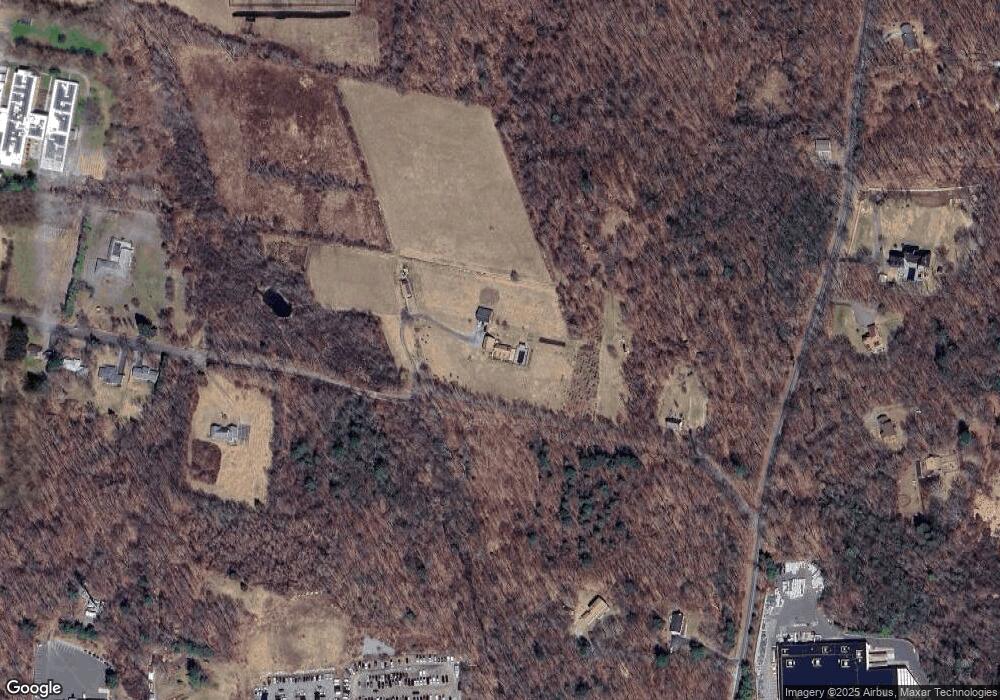
Map
Nearby Homes
- 420 Allison Dr
- 1526 Litchfield Turnpike
- 1683 Torringford St
- 1480 Litchfield Turnpike
- 35 Hemlock Dr
- 302 Gillette Rd
- 290 Gillette Rd
- 714 Torringford St
- 144 Woodlawn Dr
- 595 Torringford St
- 68 Knollwood Dr
- 100 Nutmeg Dr
- 175 Ramstein Rd
- 19 Vickers Rd
- 211 Lyman Dr
- 2195 Torringford St
- 116 Albany St
- 158 Cypress Ct Unit 158
- 111 Oxbow Dr
- 46 Cedar Knoll