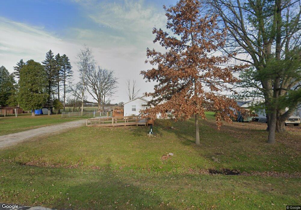
2654 Robbins Ct Port Huron, MI 48060
Estimated Value: $127,000 - $148,000
2
Beds
1
Bath
916
Sq Ft
$150/Sq Ft
Est. Value
About This Home
This home is located at 2654 Robbins Ct, Port Huron, MI 48060 and is currently estimated at $137,126, approximately $149 per square foot. 2654 Robbins Ct is a home located in St. Clair County with nearby schools including H.D. Crull Elementary School, Central Middle School, and Port Huron High School.
Ownership History
Date
Name
Owned For
Owner Type
Purchase Details
Closed on
Nov 12, 2019
Sold by
Lake Robert C and Lake Karen K
Bought by
Lake Robert C
Current Estimated Value
Purchase Details
Closed on
Apr 14, 2010
Sold by
Secretary Of Housing & Urban Development
Bought by
Lake Karen K and Lake Robert C
Purchase Details
Closed on
Mar 31, 2009
Sold by
Chase Home Finance Llc
Bought by
Secretary Of Housing & Urban Development
Purchase Details
Closed on
Mar 12, 2009
Sold by
Fleury Derek and Fleury Bekcy
Bought by
Chase Home Finance Llc
Purchase Details
Closed on
Oct 17, 2007
Sold by
Fleury Derek and Fleury Becky
Bought by
Fleury Derek and Fleury Beckey
Home Financials for this Owner
Home Financials are based on the most recent Mortgage that was taken out on this home.
Original Mortgage
$111,650
Interest Rate
6.44%
Mortgage Type
FHA
Create a Home Valuation Report for This Property
The Home Valuation Report is an in-depth analysis detailing your home's value as well as a comparison with similar homes in the area
Home Values in the Area
Average Home Value in this Area
Purchase History
| Date | Buyer | Sale Price | Title Company |
|---|---|---|---|
| Lake Robert C | -- | None Listed On Document | |
| Lake Ryan C | -- | None Listed On Document | |
| Lake Karen K | $42,000 | None Available | |
| Secretary Of Housing & Urban Development | -- | None Available | |
| Chase Home Finance Llc | $117,837 | None Available | |
| Fleury Derek | -- | Devon Title Agency |
Source: Public Records
Mortgage History
| Date | Status | Borrower | Loan Amount |
|---|---|---|---|
| Previous Owner | Fleury Derek | $111,650 |
Source: Public Records
Tax History Compared to Growth
Tax History
| Year | Tax Paid | Tax Assessment Tax Assessment Total Assessment is a certain percentage of the fair market value that is determined by local assessors to be the total taxable value of land and additions on the property. | Land | Improvement |
|---|---|---|---|---|
| 2025 | $1,799 | $52,100 | $0 | $0 |
| 2024 | $1,237 | $53,700 | $0 | $0 |
| 2023 | $1,160 | $49,800 | $0 | $0 |
| 2022 | $1,620 | $40,700 | $0 | $0 |
| 2021 | $975 | $37,200 | $0 | $0 |
| 2020 | $975 | $34,900 | $34,900 | $0 |
| 2019 | $957 | $30,200 | $0 | $0 |
| 2018 | $937 | $30,200 | $0 | $0 |
| 2017 | $1,744 | $28,400 | $0 | $0 |
| 2016 | $475 | $28,400 | $0 | $0 |
| 2015 | -- | $28,300 | $28,300 | $0 |
| 2014 | -- | $27,200 | $27,200 | $0 |
| 2013 | -- | $26,300 | $0 | $0 |
Source: Public Records
Map
Nearby Homes
- 2566 Lewis Dr
- 3255 Harrington Rd
- 2636 Locust St
- 0000 Henry St
- 2045 Yeager St
- 0000 Manuel St
- 00 Campau Ave
- 146 Taylor St
- 3335 W Water St
- 2940 Westland Dr
- 1825 Kern St
- VACANT Howard St
- 1819 Kern St
- 2650 Alger Rd
- 0000 Water St
- 2475 Sharon Ln
- 0000 Campau Ave
- 0000 W Water St
- 1617 Francis St
- 2838 Elmwood St
- 2650 Robbins Ct
- 2674 Robbins Ct
- 2649 Robbins Ct
- 2602 Robbins Ct
- 2659 Robbins Ct
- 2669 Robbins Ct
- 2679 Robbins Ct
- 2680 Robbins Ct
- 2576 Robbins Ct
- 2589 Robbins Ct
- 2685 Robbins Ct
- 2585 Robbins Ct
- 2642 Lewis Dr
- 2570 Robbins Ct
- 2728 Lewis Dr
- 2720 Lewis Dr
- 2670 Lewis Dr
- 2573 Robbins Ct
- 2640 Lewis Dr
- 2700 Robbins Ct