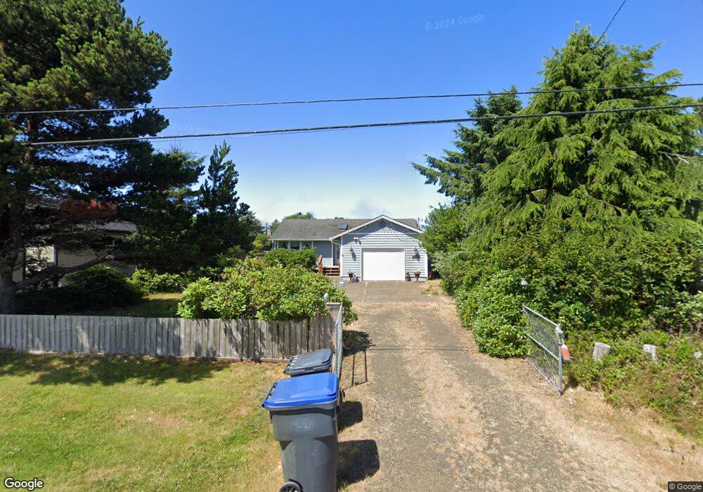
267 Canal Dr NE Ocean Shores, WA 98569
Estimated Value: $318,000 - $434,000
2
Beds
1
Bath
944
Sq Ft
$385/Sq Ft
Est. Value
About This Home
This home is located at 267 Canal Dr NE, Ocean Shores, WA 98569 and is currently estimated at $363,357, approximately $384 per square foot. 267 Canal Dr NE is a home located in Grays Harbor County with nearby schools including North Beach Junior/Senior High School.
Ownership History
Date
Name
Owned For
Owner Type
Purchase Details
Closed on
Jul 15, 2014
Sold by
Us Bank National Association
Bought by
Vanacker Kenneth and Vanacker Emma
Current Estimated Value
Purchase Details
Closed on
Sep 13, 2013
Sold by
Bunn Robert and Bunn Tamra
Bought by
Us Bank National Association
Purchase Details
Closed on
Apr 5, 2006
Sold by
Schultz Keith and Arnold Janis J
Bought by
Bunn Robert and Bunn Tamra
Home Financials for this Owner
Home Financials are based on the most recent Mortgage that was taken out on this home.
Original Mortgage
$164,000
Interest Rate
7.9%
Mortgage Type
Adjustable Rate Mortgage/ARM
Create a Home Valuation Report for This Property
The Home Valuation Report is an in-depth analysis detailing your home's value as well as a comparison with similar homes in the area
Home Values in the Area
Average Home Value in this Area
Purchase History
| Date | Buyer | Sale Price | Title Company |
|---|---|---|---|
| Vanacker Kenneth | $95,000 | Gh Title | |
| Us Bank National Association | $128,350 | Grays Harbor Title | |
| Bunn Robert | $205,000 | Grays Harbor Title |
Source: Public Records
Mortgage History
| Date | Status | Borrower | Loan Amount |
|---|---|---|---|
| Previous Owner | Bunn Robert | $164,000 |
Source: Public Records
Tax History Compared to Growth
Tax History
| Year | Tax Paid | Tax Assessment Tax Assessment Total Assessment is a certain percentage of the fair market value that is determined by local assessors to be the total taxable value of land and additions on the property. | Land | Improvement |
|---|---|---|---|---|
| 2025 | $2,188 | $345,556 | $85,500 | $260,056 |
| 2023 | $1,960 | $275,362 | $103,520 | $171,842 |
| 2022 | $1,747 | $206,700 | $69,000 | $137,700 |
| 2021 | $1,840 | $206,700 | $69,000 | $137,700 |
| 2020 | $1,744 | $178,205 | $60,000 | $118,205 |
| 2019 | $1,566 | $162,576 | $50,000 | $112,576 |
| 2018 | $1,512 | $142,206 | $40,000 | $102,206 |
| 2017 | $1,394 | $129,717 | $40,000 | $89,717 |
| 2016 | $1,321 | $117,055 | $34,500 | $82,555 |
| 2014 | -- | $115,485 | $21,000 | $94,485 |
| 2013 | -- | $128,640 | $30,000 | $98,640 |
Source: Public Records
Map
Nearby Homes
- 255 Canal Dr NE
- 213 Canal Dr NE
- 275 Canal Dr NE
- 248 Ensign Ave NW
- 269 Ensign Ave NW
- 262 Octopus Ave NE
- 226 Point Brown Ave NE
- 324 Mizzen Ave NW
- 212 Point Brown Ave NE
- 198 Octopus Ave NE
- 285 Mast Ave NW
- 237 Clover Creek Ave NW
- 247 Clover Creek Ave NW
- 333 Canal Dr NE
- 148 N Narwhal Loop NW
- 284 Mast Ave NW
- 172 N Narwhal Loop NW
- 260 Dolphin Ave NE
- 212 Dolphin Ave NE
- 165 N Narwhal Loop NW
- 267 Canal Dr NE
- 263 Canal Dr NE
- 281 Canal Dr NE
- 259 Canal Dr NE
- 270 Canal Dr NE
- 260 Canal Dr NE
- 276 Canal Dr NE
- 293 Canal Dr NE
- 251 Canal Dr NE
- 284 Canal Dr NE
- 306 Point Brown Ave NE
- 302 Point Brown Ave NE
- 256 Canal Dr NE
- 310 Point Brown Ave NE
- 306 Point Brown Ave NE
- 297 Canal Ne (L147) Dr
- 297 Canal Dr NE
- 250 Canal Dr NE
- 314 Point Brown Ave NE
- 298 Point Brown Ave NE